Highlights
- 121 km of cross-country ski trails and 33 ski lifts await skiers in winter
- In addition to via ferrata (Via Ferratas), there are also artificial climbing routes at the dams.
- The rope parks in Ticino are big adventure parks and also offer tyroliennes.
- The large lakes in southern Ticino offer a variety of activities such as SUP, canoeing and windsurfing on Lake Lugano or sailing on Lake Maggiore
Activities and experiences in Ticino
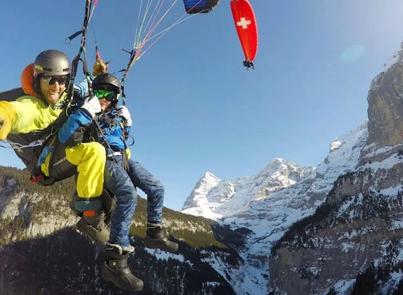
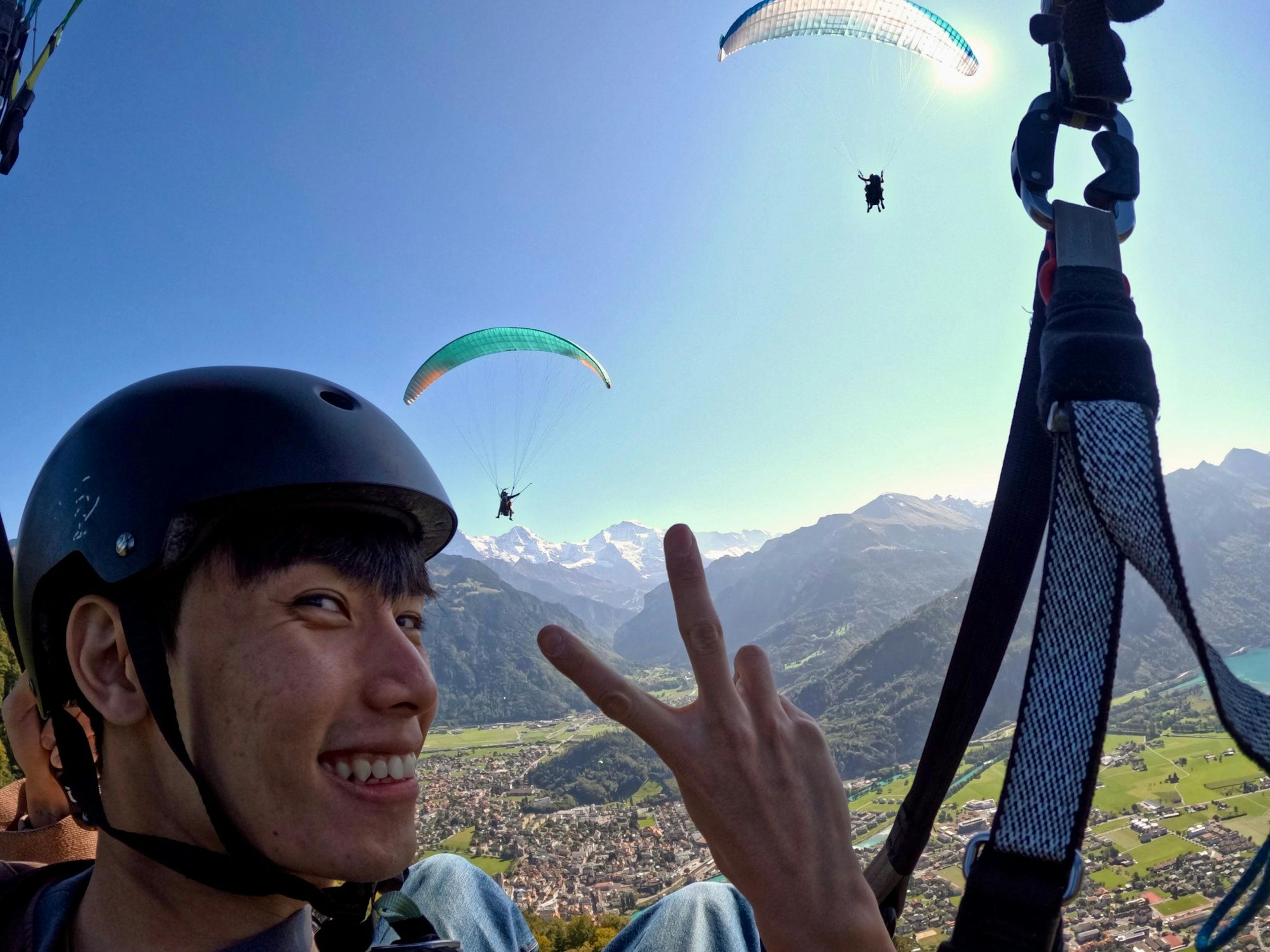
With its beautiful valleys, lakes and mountains, Ticino is ideal for a wide range of activities. Hiking in nature is in the first place, but also bikers, horseback riders and climbers get their money's worth. For those who are looking for a special adventure, there are possibilities for canyoning, paragliding or skydiving. Tandem flights and jumps are offered in many places. The absolute thrill can be found at the Golden Eye Bungee Jump
Hiking in Ticino
Hiking is possible in Ticino all year round because of the mild temperatures. Whether mountain hikes in the northern Alps or more leisurely walks along Lake Maggiore: there is something for everyone. Along the way, you can experience historical villages, vineyards or waterfalls and caves in the wild and romantic valleys of Ticino. About 2000 km of hiking trails are officially marked
Hiking on Monte San Salvatore
At the summit (912 m above sea level), Monte San Salvatore has, in addition to the observation tower, a panoramic path with seven panoramic views. Each of these views is provided with informative panels and comfortable benches. Several hiking trails lead up or down the mountain
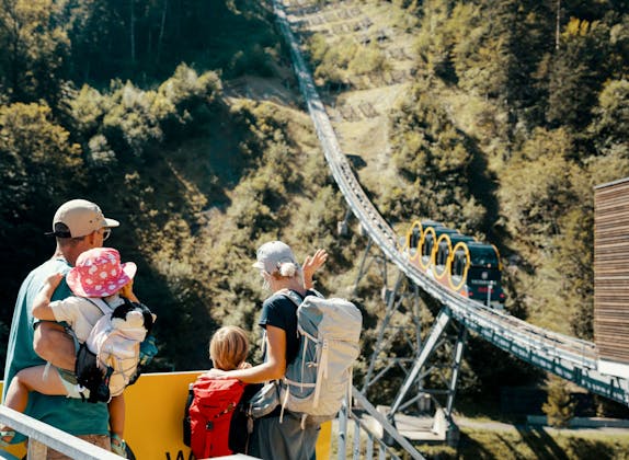
A popular path to the summit village of San Salvatore starts in Paradiso (282 m a.s.l.) behind the station of the funicular railroad that goes to the top of Monte Salvatore. The path first leads through the woods, from Morchino it goes right next to the tracks of the funicular over a staircase to the middle station of Pazzallo (448 m a.s.l.). Up to the top of the mountain 630 meters of altitude are overcome. This hike takes about two hours
From Monte San Salvatore down there are two possibilities. Either you take the path to Ciona or the one to Carona. In Carona there is a botanical garden (San Grato) to visit. The village itself is an old and picturesque place with pretty stucco work on the facades. The interior of the three-nave parish church, dating from the 16th century, is also particularly splendid.
Some interesting hiking trails:
- San Salvatore - Ciona - Carabbiaca (1:45 hrs.)
- San Salvatore - Ciona - Caronaca (1:20 hrs.)
- San Salvatore - Carona - Melideca (2:10 hrs.)
- San Salvatore - Carona - Morcoteca (3:35 hrs.)
- San Salvatore - Carona - Figinoca (2:45 hrs.)
The return to Paradiso can be done by post bus, train or boat.
Via Ferrata in Ticino
Ticino has some beautiful via ferratas, also known as Via Ferrata. They are accessible between May and September/October and can be climbed under expert guidance. A special challenge is the Stairways to Heaven, a race that takes place in October along the 1.3 km of the historic staircase of the Piotta-Ritom funicular.
Via Ferrata on Monte San Salvatore
The via ferrata can be reached in about fifty minutes from the mid-station of the funicular (Pazzallo) along a steep footpath. It has an altitude difference of 150 meters over a length of 250 meters and is secured with climbing hooks, steel ropes and ladders. The via ferrata corresponds to the "Dolomite type" of a via ferrata. It uses only a minimal number of climbing aids. A tightly stretched steel rope can be used for belaying as well as an aid to locomotion. This via ferrata is considered difficult. Beginners should not do the via ferrata at all or only in the company of an experienced guide. From the end of the via ferrata, a footpath leads to the top station of the cable car in about twenty minutes. This via ferrata is promoted by the Associazione Amici di Delio Ossola.
Facts:
- 250 m length
- 150 meters of altitude
- Start: Pazallo (middle station of the mountain railroad)
- End: San Salvatore (mountain station)
- very difficult (K4)
Via Ferrata dei tre Signori
This via ferrata is located on the mountain Cima d'Erbea (2338 m a.s.l.) at Sasso Torrasco. Sasso Torrasco is a rock face between Mornera and Capanna Albagno. It is located above Monte Carasso and is very craggy. The hike to the via ferrata starts and ends at 1347 meters above sea level at the top station of the cable car Carasso - Mornera. Including the hike, you should allow about 5.5 hours. The bottom station is in the district of Orenno-Gaggio in Bellinzona.
There are three ways to do the via ferrata: K3/K4-K5 (K5 = difficile). All three variants each connect a ridge rib with small peaks. A fifteen-meter suspension bridge is the highlight of the via ferrata at the end of the via difficile. The entire via ferrata is controlled by the CAS Bellinzona e Valli association. The Via difficile should only be used by very experienced climbers. Climbing tours under the guidance of experienced mountain guides are offered.
Facts:
- 600 -900 m length
- 400 or 500 meters of altitude
- K4, K5, K6
Artificial climbing routes at the dam of Lake Sambuco
These climbing routes overcome 165 meters of altitude and are freely accessible. The key will be given out at the Fusio lodgings. However, the presence of a climbing guide is strongly recommended by the organizer. Approximately from August 20 to September 10, the site will be closed for the breeding protection of swallows.
Lago di Sambuco is located in the municipality of Lavizzara in the Levontine Alps. Above the village of Fusio, it lies at 1,461 meters above sea level in the Lavizzara Valley.
Facts:
- 5 routes
- 100 meters of altitude
- K4- K5
Sport climbing at Luzzone dam
Artificial climbing routes have been created at the Luzzone dam. The dam is located in the Blenio Valley and is 160 meters high. The access keys are deposited in the restaurant next to the dam. In order to be allowed to climb, CHF 20.00 per person must be paid and a deposit of CHF 100.- must be left at the Luzzone restaurant when the key is handed over.
The approach is via the freeway exit Biasca. Via Malvaglia you get to Olivone and go through a tunnel to Campo at 1215 m. Now you get to the Luzzone dam, which has a parking lot.
Kayaking, stand up paddle, sailing and windsurfing
Vacation at the lake is almost always associated with the desire to be active or passive on the water. Those who prefer to be active have a wide range of options here.
Kayak and canoe on Lake Lugano
Kayaks and canoes can be rented around Lake Lugano. For the inexperienced, guided kayak tours are offered by various kayak clubs. One is located at the Monte Generoso campground and another at TCS Camping Lugano-Muzzano.at the northern end of the left arm of Lake Lugano. The Parco San Marco Lifestyle Beach Resort in Cima di Porlezza also rents canoes and kayaks. There is a short briefing before launching from the 3000 square meter private beach
Stand up Paddle rents for example the big SUP school in Agno or the Centro Magliaso SUP in Magliaso. Courses and taster sessions as well as kids camps are also offered here. Boards for SUP are also rented at the lido in Riva San Vitale on the southeasternmost arm of Lake Lugano.
Windsurfing on Lake Lugano
In Riva San Vitale there is also - very close to Monte San Giorgio - a windsurfing club. It is located on a strip of land in the lake called Batüda Riva San Vitale
The Windsurfing Club Riva San Vitale offers training in windsurfing and rents out surfboards. It uses for this purpose the area of the river "La Valle", which flows into Lake Lugano directly at the Batüda. This place is considered ideal to learn the easy gliding on the lake, which is done only with the power of the wind. This club is the only one to offer this activity on Lake Lugano
Sailing
Sailing is a popular pastime on Lake Maggiore. At least in spring and autumn there is a strong enough breeze for it. It is worth going out in the early morning. Then the Tramontana provides the necessary lift. This is a northerly wind that comes down from the mountains and passes over the lake. Near Verbania and Lavena the mountains rise particularly steeply. Therefore, here the winds are also particularly strong. In the afternoon, the Inverna blows from south to north across Lake Maggiore.
On Lake Lugano the best spots are in Lugano or west of it in Agno or Bioggio The sailing school Asconautica is located in Ascona.
Sailing schools on Lake Maggiore:
- TSS watersports center on the Lido in Cannobio: rents sailboats and gives sailing courses for beginners as well as regatta sailors
- lagomaggiore.cruises: skipper Martin Frauchiger takes visitors on interesting cruises (1/2 day to 3 days). He owns a 35-foot yacht.
Boat trip in Ticino
Colorful houses behind beautiful sandy beaches, palm trees and a wonderful surrounding mountain landscape. What more beautiful setting is there for a boat trip? On Lake Lugano and Lake Maggiore, shipping companies offer trips across the lakes. They and their ships are briefly presented below.
Lake Lugano Navigation Company (Ceresio Lake)
The shipping company has nine ships, five of which are wheelchair accessible. These ships include: Italia (additional stair lift to the upper inner deck, wheelchair accessible toilets) Lugano (additional stair lift to the upper deck, wheelchair accessible toilets) San Gottardo (also wheelchair accessible toilets) Milano Ceresio
There are also two historic ships among them, one of which (Vedetto 1908) has been restored as an electric and solar-powered passenger ship.
The boat schedule is valid for the summer from the beginning of May to the end of October. In addition to the daily route schedule across the lake, excursions and cruises across the lake are also offered.
Sales counters are available in Lugano center, Lugano Giardino, Paradiso, Gandria and Morcote.
Facts:
- 40 landing stages
- Boats for 200-300 persons
The restaurant is managed by Cambusa Lugano.
Examples of tours:
- Classic Tour: Lugano - Gandria - Lugano
- Lunch Boat Tour: Lugano - Porto Ceresio - Lugano
- Magic Tour: Lugano - Gandria - Lugano
- Golden Tour: Lugano - Porto Ceresio - Lugano
- Scenic Tour: Lugano - Porlezza - Lugano
- Giro Grotti: Morcote - Porto Ceresio - Morcote
- International Tour: Lugano - Ponte Tresa - Lugano
- Lake & Mountain Tour: Lugano - Capolago - Porto Ceresio - Lugano
- Corse Arcobaleno: Morcote - Porto Ceresio - Morcote
Lake Lugano has a special shape. Its arms reach in all directions and the shores have partly untouched nature. The picturesque villages in other places make a boat trip on Lake Lugano special
Lake Lugano Navigation Company (Lago Maggiore)
The shipping company offers a public shipping service, but not a scheduled service. The connection between the towns and the excursion destinations is made by modern and comfortable motorboats.
The boat schedule is valid from the beginning of May to the end of October.
Examples of tours:
- Borromean Islands
- Fishermen Island
- Isola Madre (Mother Island)
- Isola Bella (Italy)
- Hermit Monastery of Santa Catarina del Sasso
- Brissago Islands
- Castelli di Cannero
Besides the impressive Swiss basin, the Bolle di Magadino nature reserve, the Brissago Islands or the Falconeria di Locarno (Locarno Falcon Park), for example, can be discovered during a cruise on Lake Maggiore.
Mountain biking in Ticino
Ticino is a popular area for mountain bikers, cyclists and e-bikers. Youngsters regularly train on the mountain at Monte Tamaro, and major cycling competitions are held there from time to time. There are 70 kilometers of marked bike paths here. Monte Brè is also very suitable for cycling. Mountain railroads that take mountain bikes and bicycles are listed on this page.
Monte Tamaro - Hills and mountains, rivers and lake
On this route bikers can ride the most fascinating landscapes of the area in a single tour. The hilly area crosses the panoramic mountains of Monte Tamaro and Monte Lema. The rivers and deltas Magliasina and Vedeggio are descended as well as the famous Lake Maggiore, into which they flow. The start is directly at the mountain station on Alpe Foppa. The tour ends in Rivera at its valley station.
Facts: heavy tour 65,6 km length 7 hours duration 1120 vertical meters ascent 2184 meters of altitude descent
Tour from Monte Brè Vetta via Cureggia to Brè
At Monte Brè the bike can be transported by funicular. The bike tour starts at the summit of Monte Brè Vetta. From here the path winds its way via Brè to the heights of Alpe Bolla. On the way to Cureggia you will pass Pian Soldino, Vallà, Preda Grossa. The path goes downhill until Vallà on dirt roads and then goes uphill again. The last section leads along the slopes of Monte Boglia to Brè and is a downhill single trail.
Facts:
- moderately difficult tour
- 15,7 km length
- 2:15 h Duration
- 637 meters of altitude
Bike tour from Monte Brè Vetta to Ruvigliana
This easy tour is perfect for people who only occasionally go on a bike tour. It starts at the top of Monte Brè and leads first to the village of Brè. From there, the ride descends to Ruvigliana with great views. In Ruvigliana there is a bike rental shop.
Facts:
- easy tour
- 9,5 km length
- 0:40 h Duration
- 619 meters of altitude
Bike tours in the Piora valley
In the Ritom-Piora recreation area, four routes are posted for bikers. The nature trail, however, is off-limits for bikers:
- Route 65 "Gottardo Bike" (red route), 2nd stage Airolo-Olivone (44 km, 1200 vertical meters): to Lake Ritom you ride from Airolo. Afterwards the ride goes through the Uomo Pass and further downhill to Olivone.
- Andermatt - Lake Ritom (blue route with 45 km, 1560 m altitude difference): over the Gotthard pass at 2,091 m above sea level you reach Ticino. The ride goes through the Canarias valley towards Airolo until the Strada alta, which continues to Altanca. From here it goes up to the Lago Ritom.
- Lake Ritom - Olivone (orange route with 30 km, 500 meters of altitude): The ride goes along Lake Ritom to Lake Cadagno and further to the Uomo Pass. Here the panorama of the valley is very good. The tour continues to the Lukmanier Pass, through the Santa Maria Valley and finally to Olivone.
- Olivone - Biasca (yellow route with 26 km and 220 meters of altitude): this bike tour leads through the Blenio Valley. In Biasca the tour ends and from here you can take the train.
Bike tours Blenio Valley (Nara winter sports area)
This area offers a nice activity for mountain bikers in summer. Starting and ending point is the bus stop Acquarossa-Comprovasco. On the right side of the Blenio Valley, the road is paved. Above Largario it continues like the Gottardo Bike to Foppa. The climb here is very steep, alternatively take the chairlift from Leontica to Cancorì. The Adula glacier and the entire Blenio Valley are wonderful to see before it goes down on the single trail.
Facts:
- 24 km length
- 4 km natural surface
- 4 km single trail
- 4:50 hours duration
Horseback riding in Ticino
Western riding in Valle Leventina is offered by the Leventinawestern horse farm in Osco. Whether a half day, a day or even a whole weekend, everything is possible. In addition to rides, you can also participate in courses and for children and teenagers there is a summer riding camp.
Parco San Marco Lifestyle Beach Resort in Cima di Porlezza also offers horseback riding for children and adults.
Llama trekking in Ticino
In Iseo, not far from Lugano, Hanspeter Frei offers llama trekking. You can walk with the animals through the beautiful Malcantone area, spend a night in the hay or pet the animals.
Lamatrekking Ticino, for example, offers llama hikes on Monte Comino in Centovalli. In addition to half-day to full-day tours, treks lasting several days are also offered.
Paragliding in Ticino
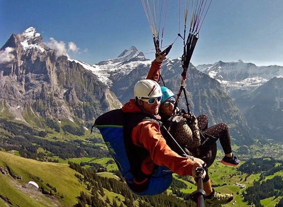
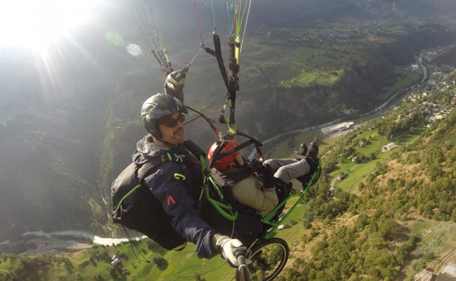
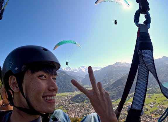
Paragliding is a hobby that can be lived extensively in Ticino. The Club Volo Libero Ticino has published a list of 20 take-off sites and 20 landing sites for paragliders in Ticino.
Tandem flights are offered by several flight schools in Ticino. Some of them are listed here, including phone numbers for three popular jump-off sites.
Monte Tamaro
On Monte Tamaro there are four possible take-off sites and one landing site for paragliders
Tandem paragliding flights with a professional pilot are offered by five paragliding schools.
Cimetta above Locarno
Cimetta is a popular and easy take-off point for paragliders flying over the lake and the Bassa Vallemaggia. In spring, even more flights to the north are possible. Individual pilots reach distances of up to 80 kilometers from here.
Tandem flights are offered by two flight schools.
Mornera above Bellinzona
Mornera is situated at 1.380 m.a.s.l. and offers a beautiful panoramic view. From here very long distance flights are possible, therefore paraglider pilots come from everywhere.
Tandem paragliding flights ( Voli biposto in parapendio) from Mornera are offered by two flight schools.
Parachuting
A flight school is located in the district of Locarno in the village of Gordola. Here tandem jumps or basic and advanced training courses for skydivers are offered. The tandem jumps are made from a height of 4,000 meters
Cross-country skiing in Ticino
Winter also exists in Ticino, even if it is milder than elsewhere in Switzerland. Cross-country ski trails are groomed between December and March. There are six areas with cross-country ski trails.
Cross-country skiing tracks Ambrì-Piotta
A 12-kilometer trail groomed for classic and skating runs along the valley floor near Piotta. It leads to the Audan Lakes, Quinto and Tre Easy B&B Stella AlpinaCappelle. A 400-meter long circular trail at Caffè Ticino is illuminated in the evening.
Cross-country skiing trails Bedretto
The 6.5 kilometer long cross-country trail is groomed in the valley. Difficulties are built in for all skill levels.
- green trail: 2,5 km (easy)
- blue trail: 3,2 km (medium)
- red trail: 0,8 km (difficult)
Cross-country skiing equipment can be rented at the hotel. Showers and changing rooms are also available here.
Cross-country skiing trails Campra
The cross-country skiing center Campra offers a total of 30 kilometers of cross-country skiing trails. It is located in the upper Blenio Valley at 1400 m above sea level, south of the Lukmanier Pass. The cross-country ski center has been modernized and has a lodge with spa. A total of 76 beds are available. International competitions are held here and for professionals there is a black run.
- blue trail: 6 km (medium)
- red trail: 15 km (difficult) in equal parts uphill, flat, downhill
- black trail: 9 km (expert trail)
Dalpe cross-country skiing trails
The 5 km long track can be shortened after 1.5 km, 2.5 km or 3.5 km. The trails are prepared for classic and skating style.
Cross-country skiing track Prato Leventina
2 km is the length of the lighted track.
Cross-country skiing tracks Sonogno
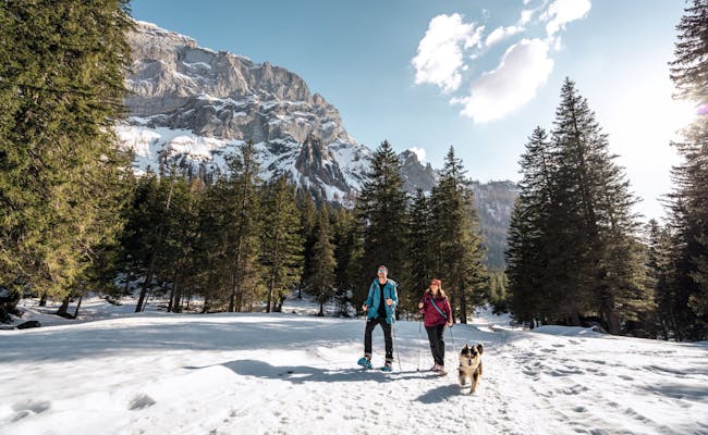
5 kilometers of red trails wind through the Val Redorta. 400 meters of blue trail lies south of the village. Sonogno lies at an altitude of 918 meters above sea level and also has snowshoe trails and winter hiking trails, as well as an ice rink for skating.
Skiing in Ticino
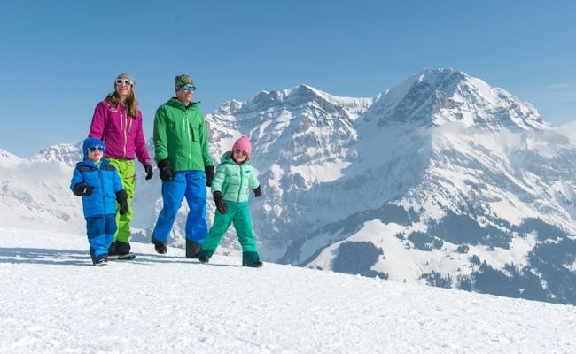
There are 121 km of trails and 33 ski lifts throughout Ticino. In the north of Ticino are the Swiss Alps. Here there are twelve ski resorts to choose from. Most of them are located in the Valle Leventina.
- 30 km Nara - Leontica (Blenio Valley)
- 30 km Bosco Gurin - Grossalp (Lake Maggiore and its valleys)
- 30 km Pesciüm - Airolo (Valle Leventina)
- 20 km Cari (Valle Leventina)
- 5 km Prato (Valle Leventina)
- 2 km Campo Blenio (Blenio Valley)
- 1,5 km Mogno (Val Lavizzara)
- 1 km Lüina - Airolo (Valle Leventina)
- 1 km Alpe di Neggia (Lake Maggiore and its valleys)
- 0,4 km Cios Prato - Bedretto (Bedretto Valley)
- 0,3 km Bedea - Novaggio (Bedretto Valley)
- 0.2 km Dalpe (Valle Leventina)
Lift facilities and restaurants are available everywhere.
The small ski area of Alpe di Neggia is located only fifteen kilometers from Lake Maggiore at 1,400 meters above sea level. From Vira, San Nazzaro or Maccagno (Italy) the ski area is reached by taking the road to Indemini. The total length of the slopes is one kilometer. There is a platter lift (500 meters long with 250 vertical meters) and a mini lift (150 meters long with 30 vertical meters).
Tobogganing
Three official toboggan runs are particularly popular in Ticino. All are directly accessible via chairlifts
Bosco Gurin toboggan run
The toboggan run starts at the middle station of the Ritzberg chairlift in Rossboda. About three kilometers it goes back down to the village Bosco Gurin. Here you can get back on the chairlift to the top. The toboggan run is also well suited for families
Cari toboggan run
The toboggan run in Carì is reached with the chairlift Car i- Brusada. It is suitable for the whole family. The track overcomes about 350 meters of altitude difference on a length of three kilometers.
Nara toboggan run
The winter sports area in the Blenio Valley offers a total of ten kilometers of toboggan run. The run in Pian Nara can be reached from Leontica by chairlift via Cancori. The five-kilometer-long toboggan run climbs 480 meters in altitude to Cancori and also passes through small villages. It can be extended by another five kilometers from Cancori to Leontica. The lifts and slopes are open daily in February, and only on weekends in March