12 Highlights at Stockhorn
- Stockhorn is beautifully situated above the Simmental valley and west of Lake Thun in the Bernese Oberland.
- The panoramic platform on the north face of Stockhorn lets you take in a 240-degree view on a glass surface 400 m above the ground.
- A 70-meter long, wheelchair-accessible tunnel leads you to the platform along information boards. On the way to the viewing platform, you'll find a unique large calcite crystal displayed, sourced from the region.
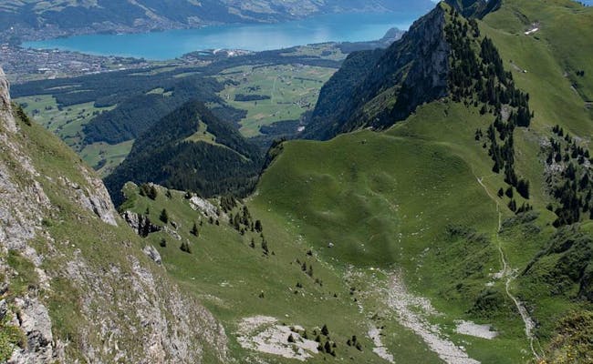
- The view from Stockhorn showcases Lake Thun and the surrounding region, stretching to the Black Forest on clear days. To the south, over 200 mountain peaks come into view.
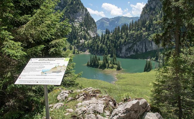
- The Hinterstockensee and Oberstockensee are two small mountain lakes at Stockhorn, where you can fish for trout in the summer and go ice fishing in winter.
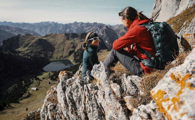
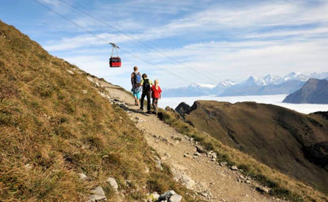
- In summer, you’ll find hiking trails that range from an accessible path around Hinterstockensee to challenging mountain hikes.
- The alpine flower trail shows you 95 marked plant species on the way from the mountain station to the summit.
- For sport climbers, several climbing gardens around Stockhorn offer 120 climbing routes through limestone.
- Every July, a half marathon is held from Oberwil in the Simmental to Stockhorn.
- In winter, you can choose between four winter hiking trails and four marked snowshoe trails.
- At Hinterstockensee, you can go snowshoeing on suitable ice surfaces.
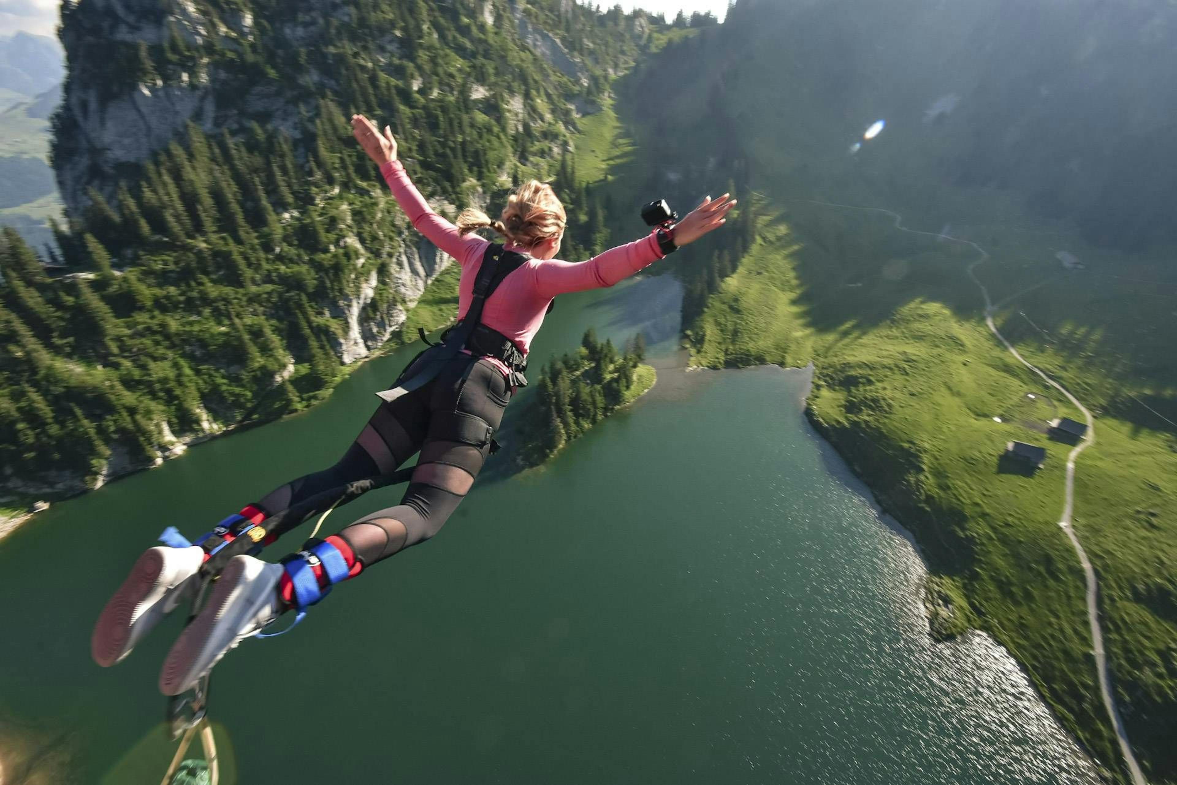
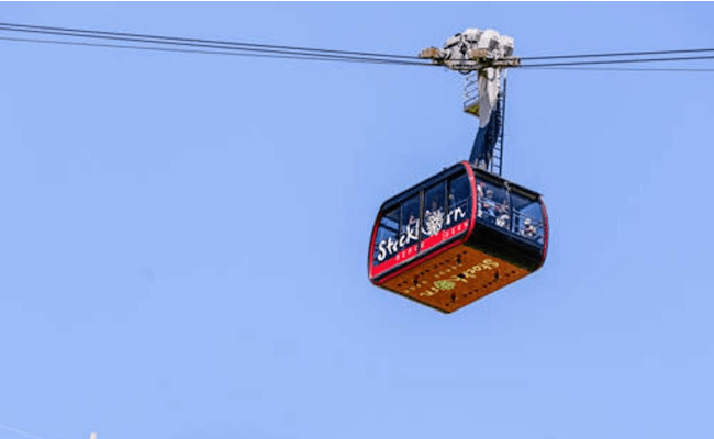
- Adrenaline junkies can enjoy organized bungee jumping from the 134 m high Stockhorn cable car. Stockhorn is a fantastic destination that caters perfectly to both active visitors and those with wheelchairs, as well as families. It is accessible year-round from Erlenbach im Simmental via the Stockhorn cable car.
What to Expect at Stockhorn
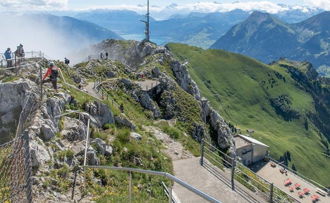
At the summit of Stockhorn, you’ll be treated to breathtaking views. They lead to the northeast over the Thunersee and, in good weather, all the way to the Black Forest. In the southeast, the mountain peaks are so numerous that you can’t count them all.
Stockhorn mountain station
A 70-meter-long tunnel leads from the top station to the summit of the Stockhorn, which is also easily accessible by wheelchair. It takes you to a viewing platform with glass floor. This platform is conically oriented to provide the wide-angle effect of a 240-degree view. It is located about 400 meters above the ground.
Along the way, you will pass by information panels and admire the unique specimen of a large calzite crystal from the region that is on display here.
An alpine flower nature trail also leads you to the summit. Here are about 95 alpine flowers with information signs.
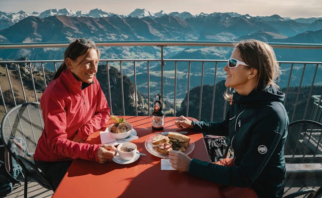
At the summit, you can indulge yourself in a restaurant with 180 seats. On the spacious sun terrace there are deck chairs available in winter.
Middle station Chrindi
You can reach the two mountain lakes via hiking trails from the Chrindi middle station:
- The Oberstockensee (also Vorderstockensee) is located below the Stockhorn at 1665 m above sea level in a rock basin. You can reach it in about 45 min on foot from Chrindi.
- The Hinterstockensee is located at 1595 m above sea level below the Stockhorn, also in a rock basin.
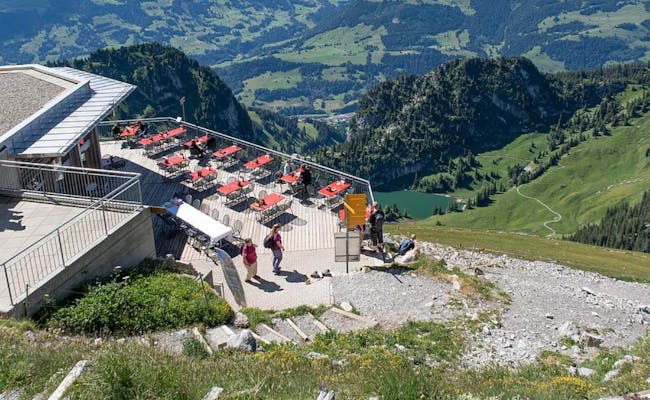
In the restaurant Chrindi you can find snacks and simple meals. It has a nice sun terrace and room for 120 people.
Activities at Stockhorn
The activities at Stockhorn mostly start at the middle station Chrindi. These include:
- Hiking and winter hiking
- Mountain biking tours on single trails
- Diverse via ferratas, for example, the "Gelbe Wand": At the intermediate station and around the summit, there are a total of 120 routes in twelve sectors on the compact limestone rocks. They range in difficulty from levels 2 to 7.
- Paragliding with a launch site facing south at 2000 m above sea level.
- Trail running with nearly 1500 meters of elevation gain on hiking paths between Erlenbach and Stockhorn
- Guided bungee jumping from the 134 m high Stockhorn cable car (after the timetable closes)
- Trout fishing at both mountain lakes, with ice fishing in winter
- Snowshoeing on four marked trails
- Ice skating at Hinterstockensee
Swiss Activities Tip: With the paragliding frequent flyer pass, every 11th cable car ride is free.
Some Popular Hikes
- Hike from Chrindi to Stockhorn (uphill 2:00 hrs, downhill 1:30 hrs)
- Hike from Chrindi to Vorderstockenalp (40 min) and Trotti bike back to Erlenbach i.S.
- Oberstockenalp-Hinterstockensee-Chrindi (40 min)
- Chrindi-Hinterstockenalp-Chrindi (loop trail around Hinterstockensee) accessible with a rugged stroller/wheelchair (40 min)
- Quiz Trail around the lake (Hinterstockensee) starting from Chrindi with 10 stations for questions (40 min)
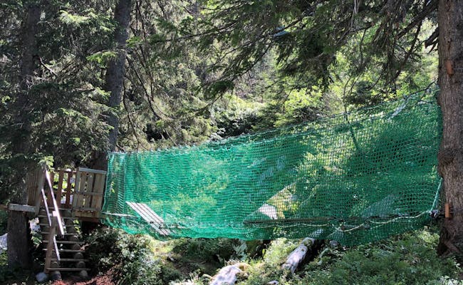
- Adventure path encompassing both mountain lakes with 16 interactive spots (2:30 hrs)
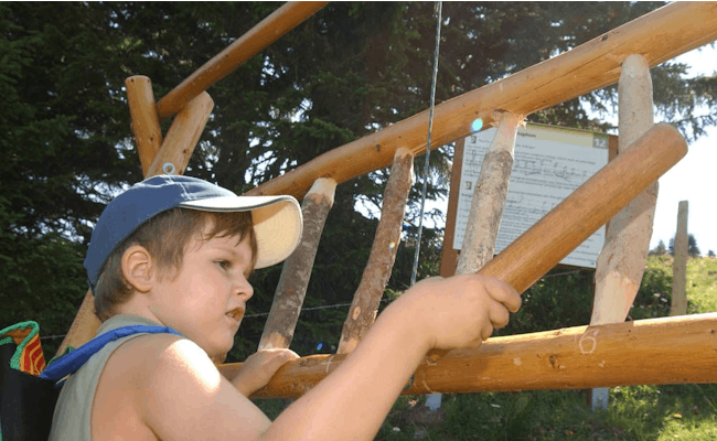
The adventure path and the quiz trail are perfect for families. Here, the focus shifts away from hiking to a more playful experience.
Two Playgrounds:
- Aquilino with a shipwreck and eagle's nest is naturally integrated into the landscape
- Chrindi with a slide, tricycle, and a large rocking horse is located at the mid-station
Location and Accessibility of Stockhorn
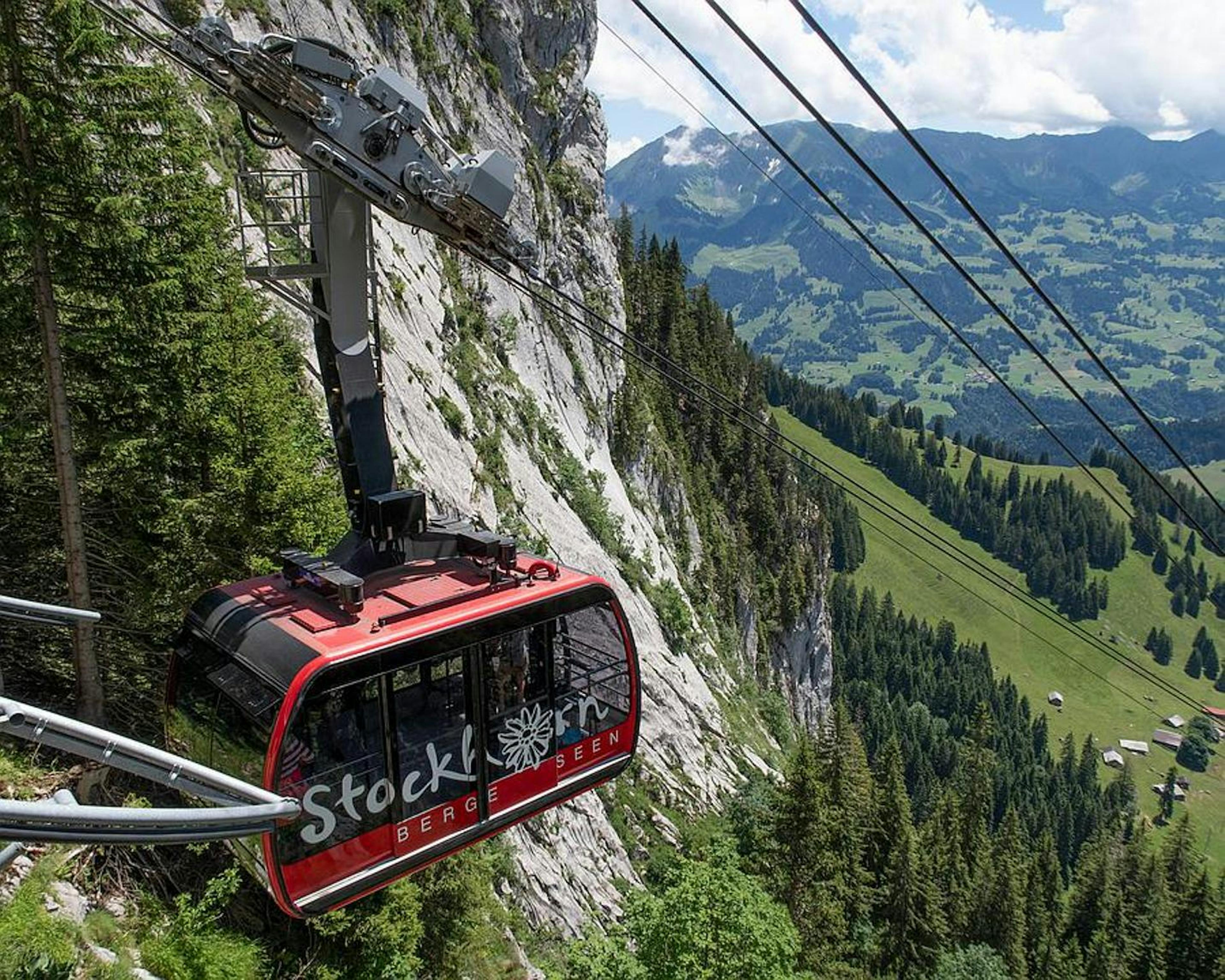
Stockhorn is accessible via a cable car that starts from the valley station in Erlenbach in Simmental. The cable car ride itself is an adventure, taking you over steep cliffs and deep valleys.
Stockhorn Cable Car
The Stockhorn cable car is a gondola lift. Its valley station is located about 20 km south of Thun in Erlenbach in Simmental.
The line is just under 4 km long and ascends more than 1000 meters. During the ride, passengers are treated to breathtaking views of the Bernese Alps and the Simmental.
Available through Swiss Activities:
The Stages of the Stockhorn Cable Car
| Cable Car Station |
Location |
Elevation (m a.s.l.) |
Travel Time from Valley Station (min) |
| Valley Station |
Erlenbach im Simmental |
725 |
- |
| Mid Station |
Chrindi |
1642 |
15 |
| Top Station |
Stockhorn |
2139 |
20 |
Getting to Erlenbach in Simmental
To reach Erlenbach in Simmental, you can choose between driving, taking the train, or using the bus.
- By car, you take the A6 motorway and exit at Wimmis towards Zweisimmen. The drive takes about 20 minutes from Thun and 40 minutes from Bern.
- If you prefer the train, the BLS operates routes from Bern to Spiez to Interlaken. There are regular connections from Bern and Thun, as well as from other towns in the area. The schedule of the Stockhornbahn is coordinated with the train timetable. It takes about 10-15 minutes to walk from the train station to the valley station, and the path is well marked.
- Several bus lines connect Erlenbach with nearby towns, operated by STI AG, which also offers connections to surrounding ski areas.
No matter what transportation option you choose, you'll be able to enjoy the scenery on your way to Erlenbach i.S.. The region is known for its stunning mountain backdrop and charming villages.
