Cycling routes
Arc jurassien
- Medium
- VD
- Distance
- 185 km
- Ascent
- 2’800 m
- Descent
- 3’500 m
- Highest point
- 1’272 m

Still have questions? Ask Alpi.
Alpi can help with routes, weather and everything worth knowing nearby.
Elevation profile
Point at a spot with your mouse
About this route
Unterwegs in einer wilden, vielfältigen Landschaft mit einsamen Hochebenen, weiten Pferde-Weiden, stillen Tälern und bizarren Schluchten, Musikdosen, Uhrenstädten und Römerstrassen, Bauernhäusern und Bergahornen, Magerwiesen und Kalkfelsabstürzen.
Map
Getting there and tickets
- Public transport at startSte-Croix, gareBus · 1 min walk to the trail
- Public transport at finishPerrefitte, Les Rouges-ChampsBus · 3 min walk to the trail
Popular activities
- Jura Crest Trail, Stage 12/16
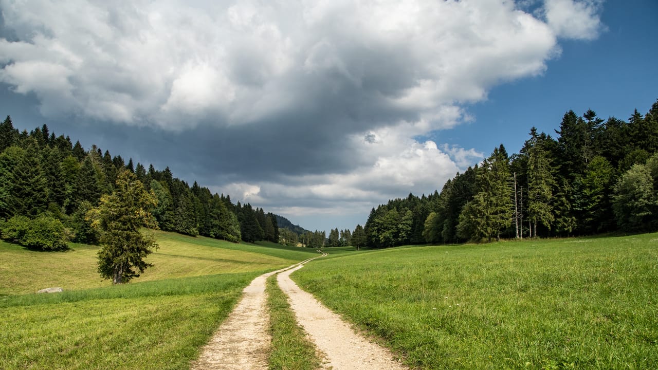
Jura Crest Trail, Stage 12/16
BergwanderwegSte-Croix → Ballaigues · 18 km · 7 h 9 min0 km - Chemin des Gorges de Covatannaz
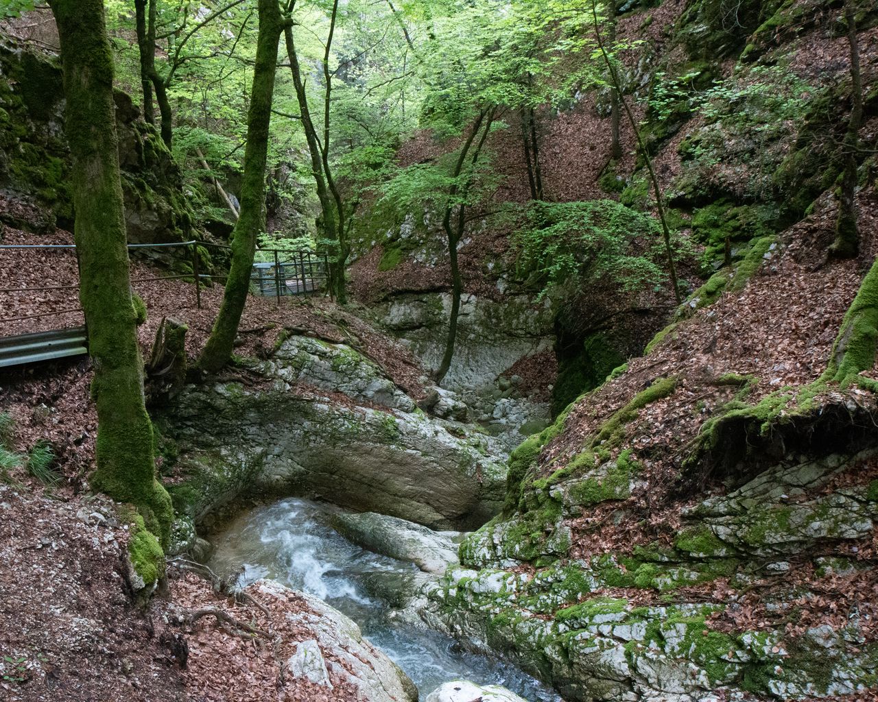
Chemin des Gorges de Covatannaz
WanderwegSte-Croix → Baulmes · 7.0 km · 2 h 21 min0.1 km - Parcours Col des Etroits–La Vraconnaz
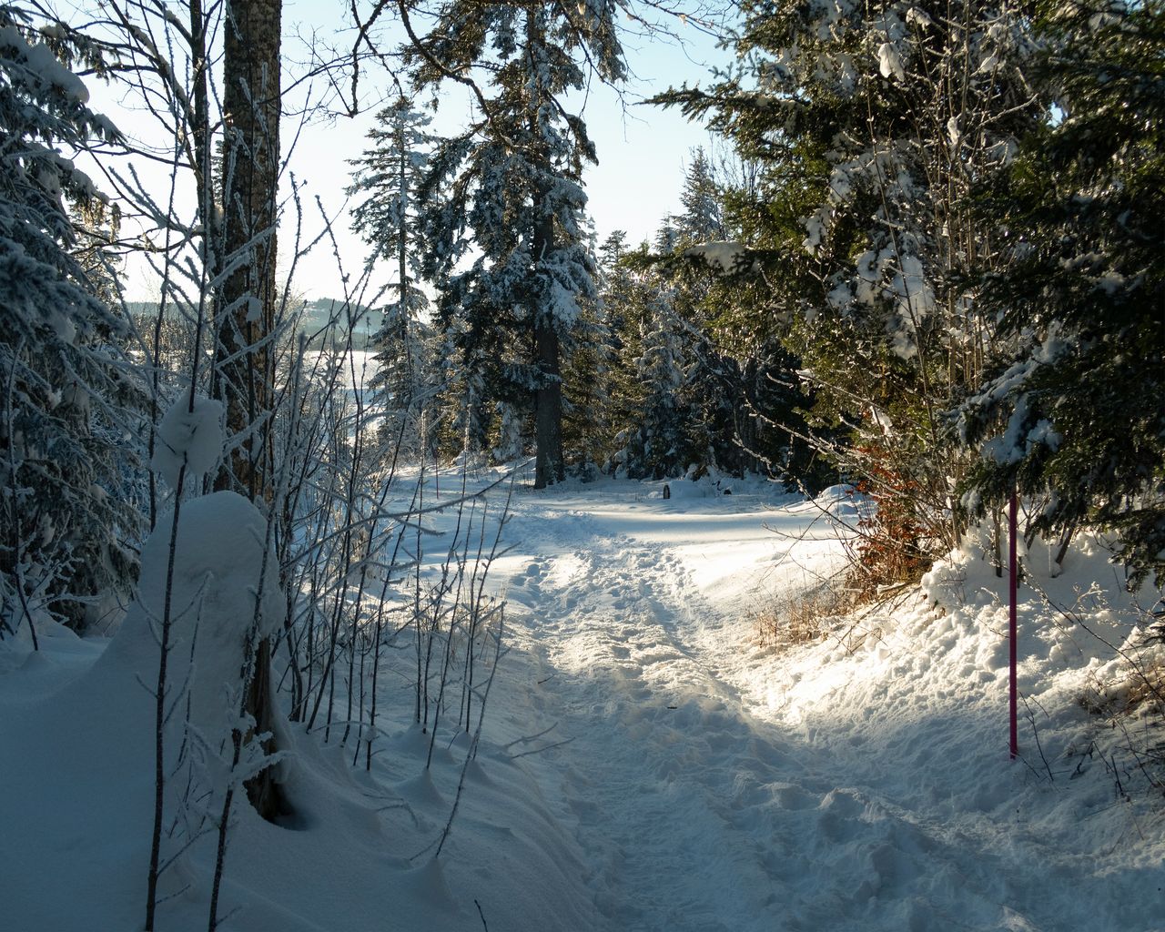
Parcours Col des Etroits–La Vraconnaz
Snowshoe routesCol des Etroits · 9.0 km · 3 h 58 min1.5 km - Lausanne Ouchy interactive scavenger hunt with smartphone
 1/7
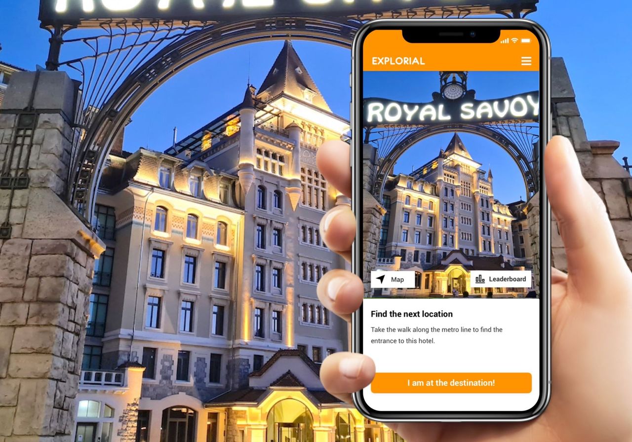
Lausanne Ouchy interactive scavenger hunt with smartphone
4.0(1)Lausanneper person
from CHF 9.95