Walking trail
Via Alpina, Stage 5/20
- Mountain hiking trail
- Hard
- GL
- Distance
- 16 km
- Duration
- 6 h 23 min
- Ascent
- 1,100 m
- Descent
- 360 m
- Highest point
- 1,480 m

Got questions? Ask Alpi.
Alpi helps with tours, weather and everything you need to know.
Elevation profile
Point at a spot with your mouse
About this route
Von Linthal über einen steilen Waldweg hinauf auf die sonnige Geländemulde von Braunwald und weiter über waldige Felsbänder zur grössten Schweizer Alp mit 1200 Kühen. Offenes, flaches und wildes Gelände entlang des Fätschbaches nach Urnerboden.
Map
Getting there and tickets
- Public transport at startLinthal, BahnhofBus · 1 min walk to the trail
- Public transport at destinationUrnerboden, DorfBus · 8 min walk to the trail
Sat, 31 Oct1 adult
Your hiking plan
from Zürich HB
The day
Pricing the ticket …
Zürich HB
Urnerboden, Dorf
End of the route
Zürich HB
Popular activities
- Rock'n'Roll Christmas with "The Rubbernecks"
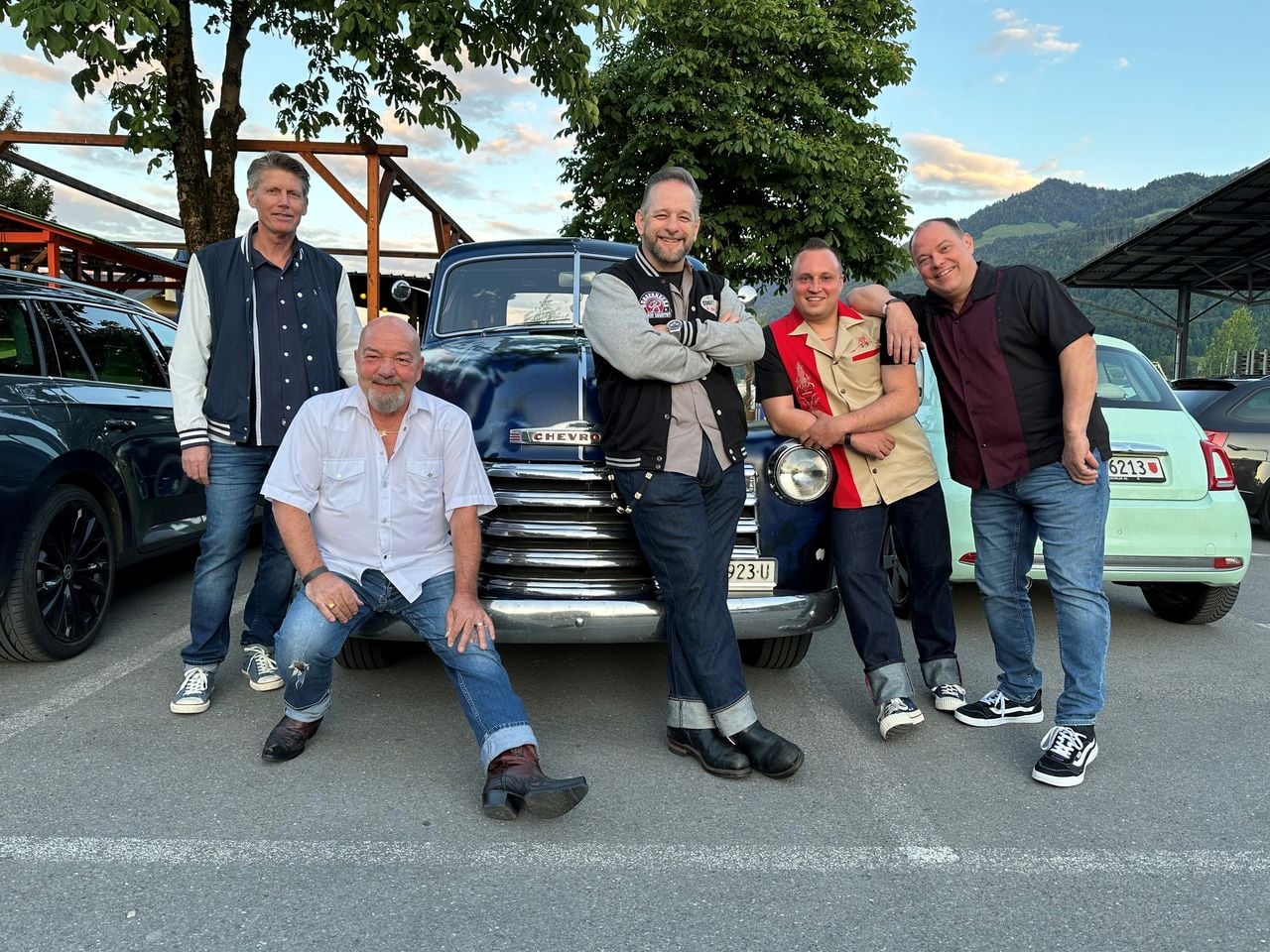
Rock'n'Roll Christmas with "The Rubbernecks"
EventLinthal0.8 km - Blues Night with Aynsley Lister, 6 November 2026

Blues Night with Aynsley Lister, 6 November 2026
EventLinthal0.8 km - "Magical Factory Tour" at the House of Läderach
 1/14
"Magical Factory Tour" at the House of Läderach
5.0(1)Bilten31.3 kmper person
from £67
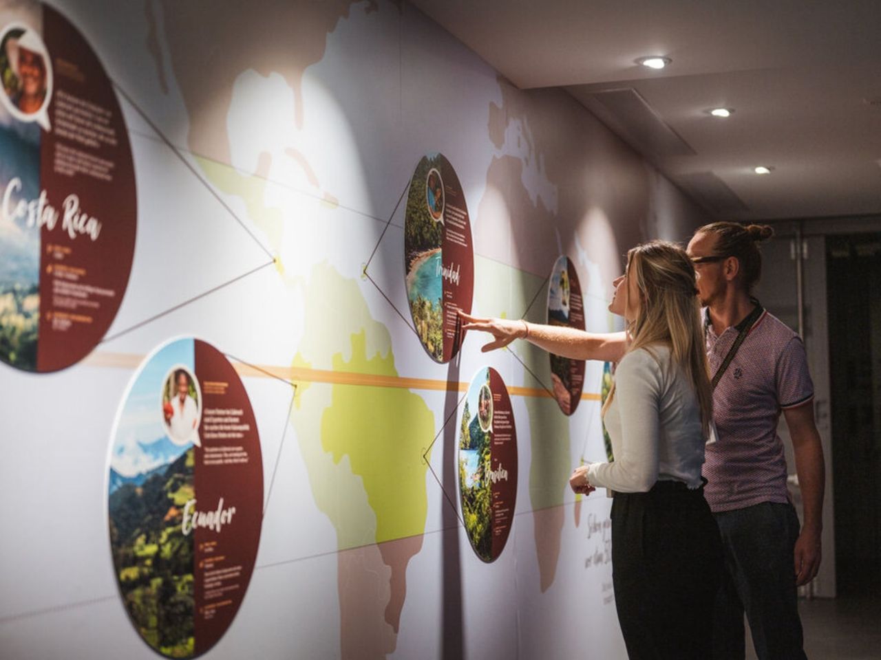
- Self-guided museum tour and chocolate workshop at the House of Läderach
 1/11
Self-guided museum tour and chocolate workshop at the House of Läderach
5.0(1)Bilten31.3 kmper person
from £24
- Alpamare ticket: water fun with pools, sauna world and slides
 1/15
Alpamare ticket: water fun with pools, sauna world and slides
5.0(5)Pfäffikon SZper person
from £44