Snowshoe routes
Parcours Robella–Chasseron
- Hard
- NE
- Distance
- 9 km
- Walking time
- 4 h 31 min
- Ascent
- 440 m
- Descent
- 440 m
- Highest point
- 1’605 m

Still have questions? Ask Alpi.
Alpi can help with routes, weather and everything worth knowing nearby.
Elevation profile
Point at a spot with your mouse
About this route
Wunderschöne, winterliche Verbindung zwischen dem Val-de-Travers und dem 360°-Panoramagipfel des Chasseron. Nach einem Anstieg durch Tannen und über Weiden, bietet sich bei der Ankunft auf dem breiten Kamm ein einmaliger Blick auf den Doubs und die Alpen.
Map
Getting there and tickets
- Public transport at startLa Robella (télésiège)Cable car · 1 min walk to the trail
- Public transport at finishLa Robella (télésiège)Cable car · 1 min walk to the trail
Sat, 24 Oct1 adult
Your hiking plan
from Zürich HB
The day
Pricing the ticket …
Zürich HB
La Robella (télésiège)
End of the route
Zürich HB
Popular activities
- Descente en luge Robella Val-de-Travers
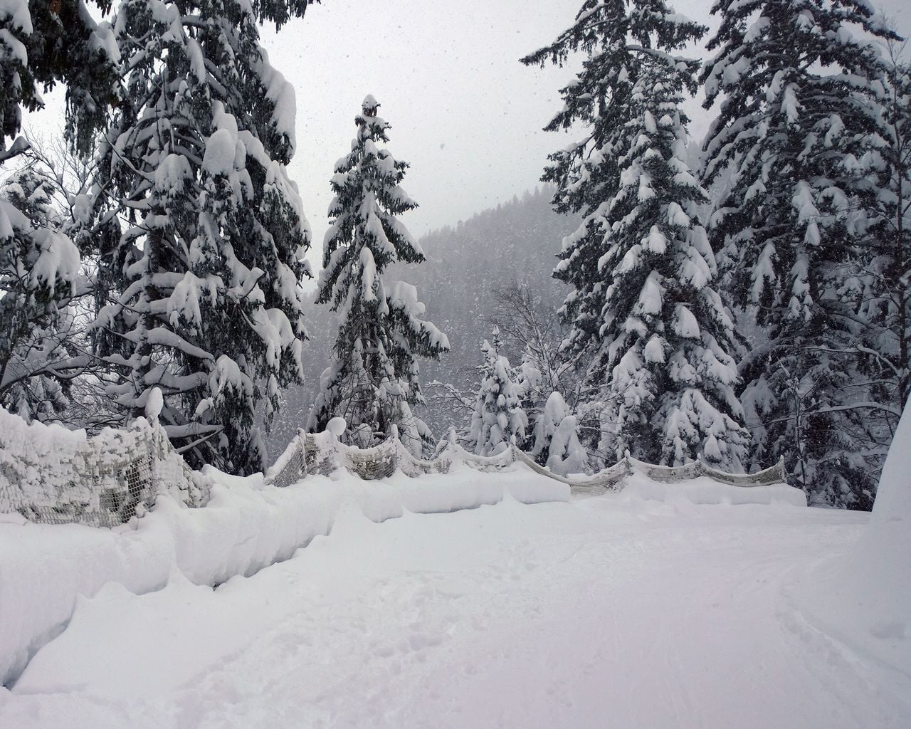
Descente en luge Robella Val-de-Travers
Sledging routesLa Robella, haut du télésiège → Buttes · 4.0 km0 km - L'Areuse–Emme–Sihl, Stage 1/5
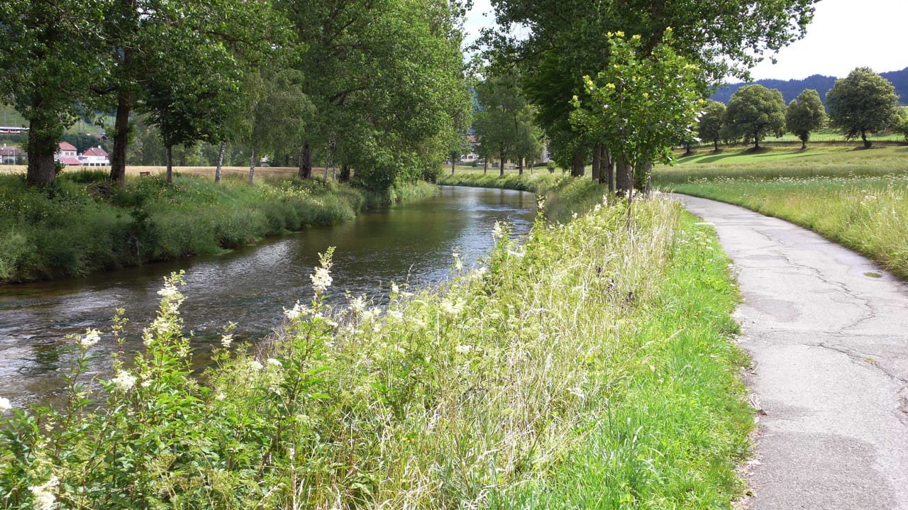
L'Areuse–Emme–Sihl, Stage 1/5
Cycling routesFleurier → Neuchâtel · 38 km5.4 km - Parcours Col des Etroits–Mont-des-Cerfs
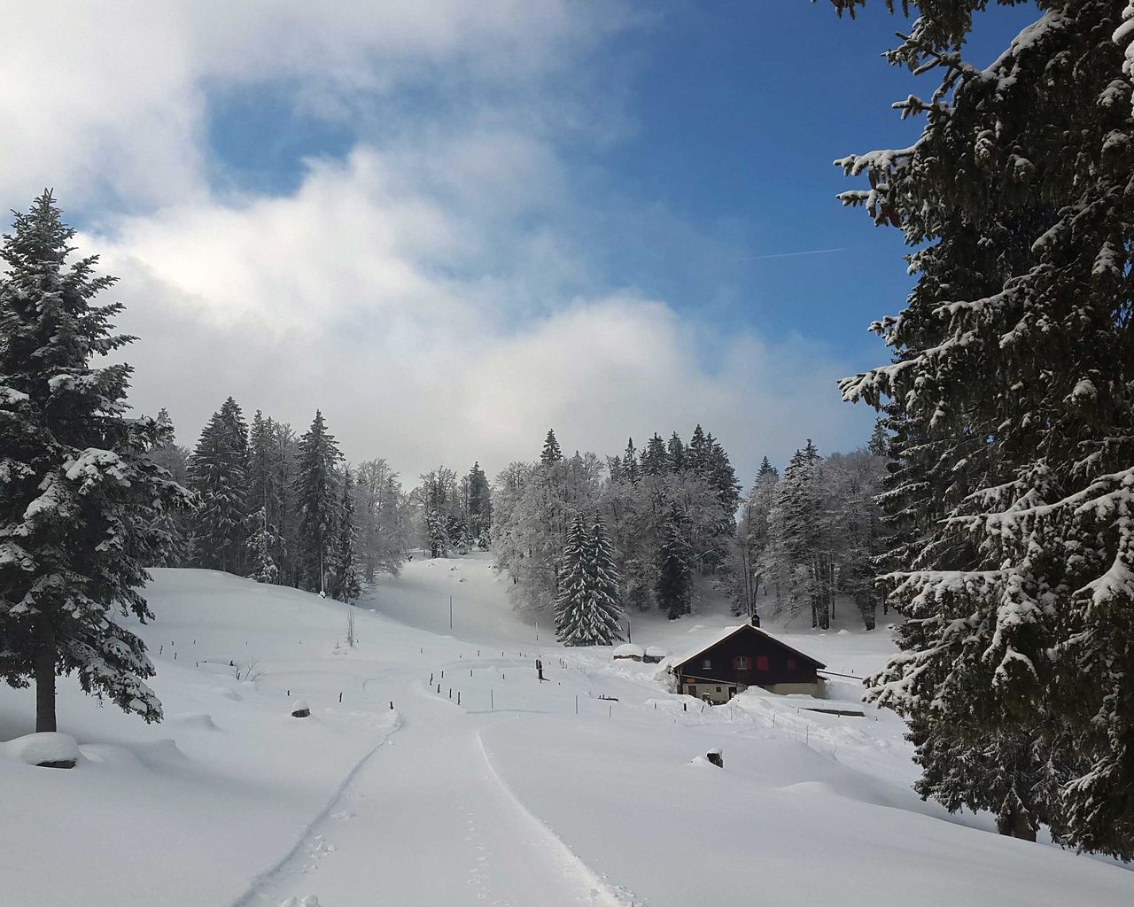
Parcours Col des Etroits–Mont-des-Cerfs
Snowshoe routesCol des Etroits → Mont-des-Cerfs · 8.0 km · 3 h 30 min8.5 km - Parcours Col des Etroits–La Vraconnaz
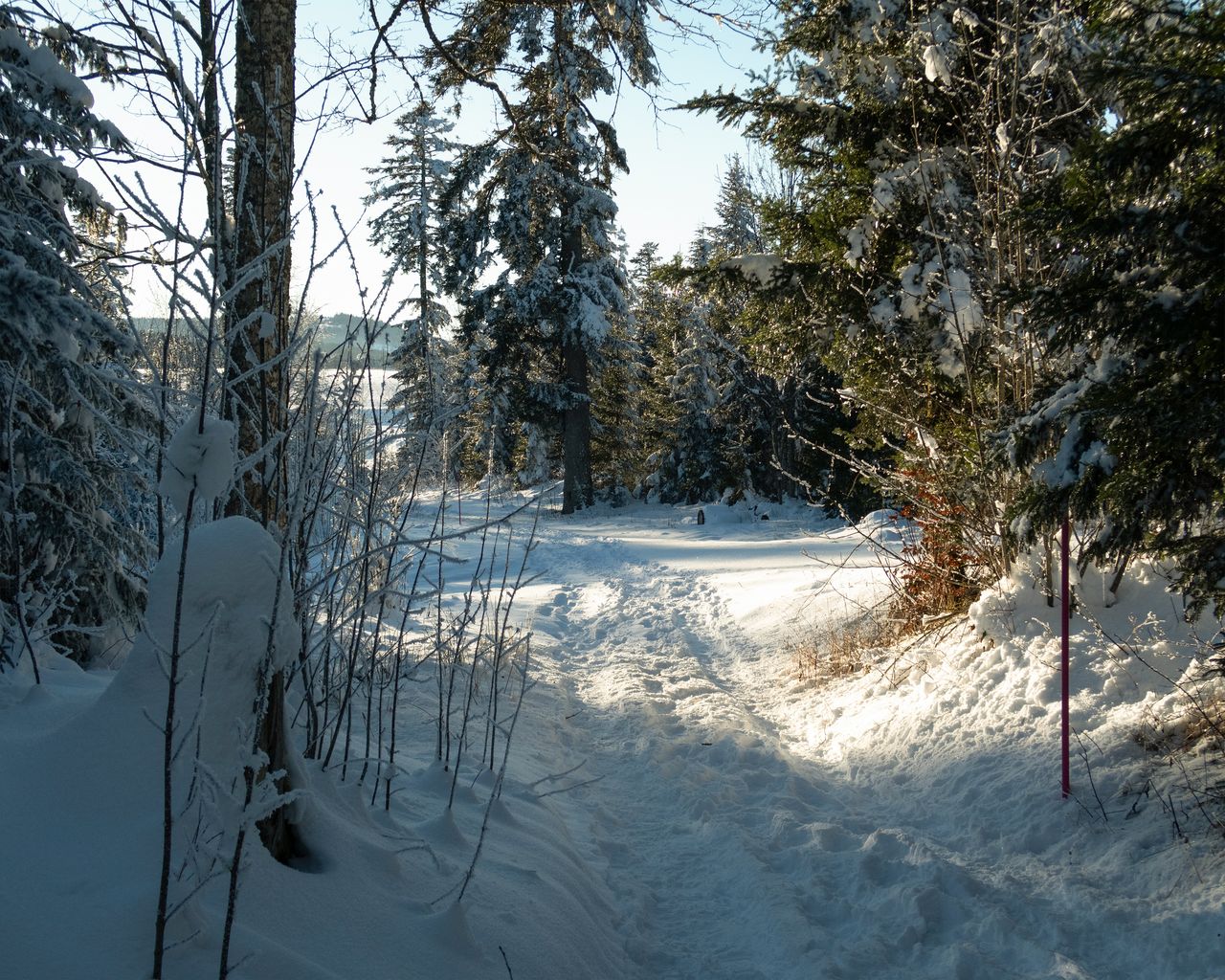
Parcours Col des Etroits–La Vraconnaz
Snowshoe routesCol des Etroits · 9.0 km · 3 h 58 min8.5 km - Lausanne Ouchy interactive scavenger hunt with smartphone
 1/7
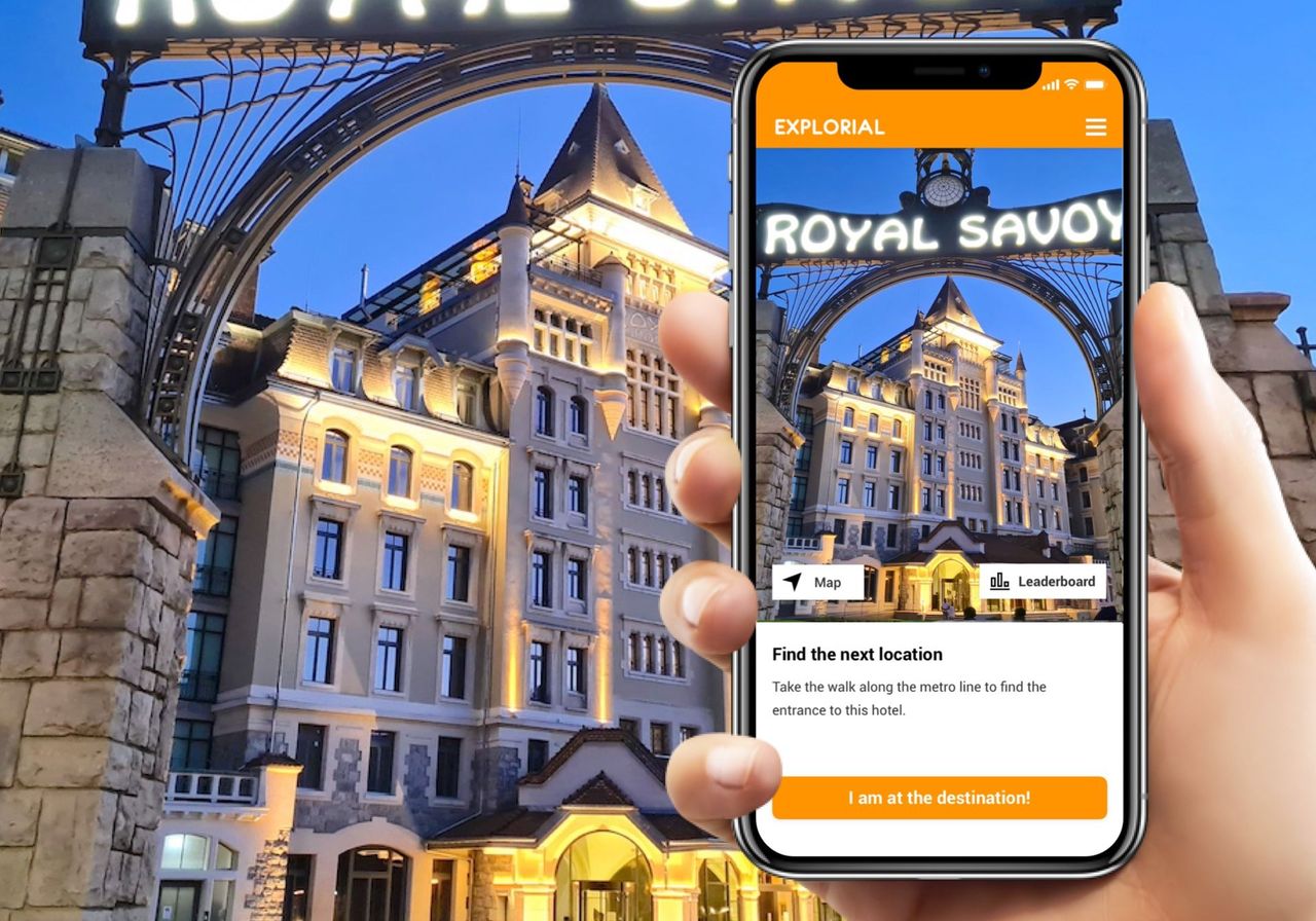
Lausanne Ouchy interactive scavenger hunt with smartphone
4.0(1)Lausanneper person
from CHF 9.95