Hiking Trail
Chemin des Trois-Lacs, Stage 1/3
- Hiking trail
- Hard
- VD
- Distance
- 22 km
- Walking time
- 6 h 8 min
- Ascent
- 240 m
- Descent
- 240 m
- Highest point
- 482 m

Still have questions? Ask Alpi.
Alpi can help with routes, weather and everything worth knowing nearby.
Elevation profile
Point at a spot with your mouse
About this route
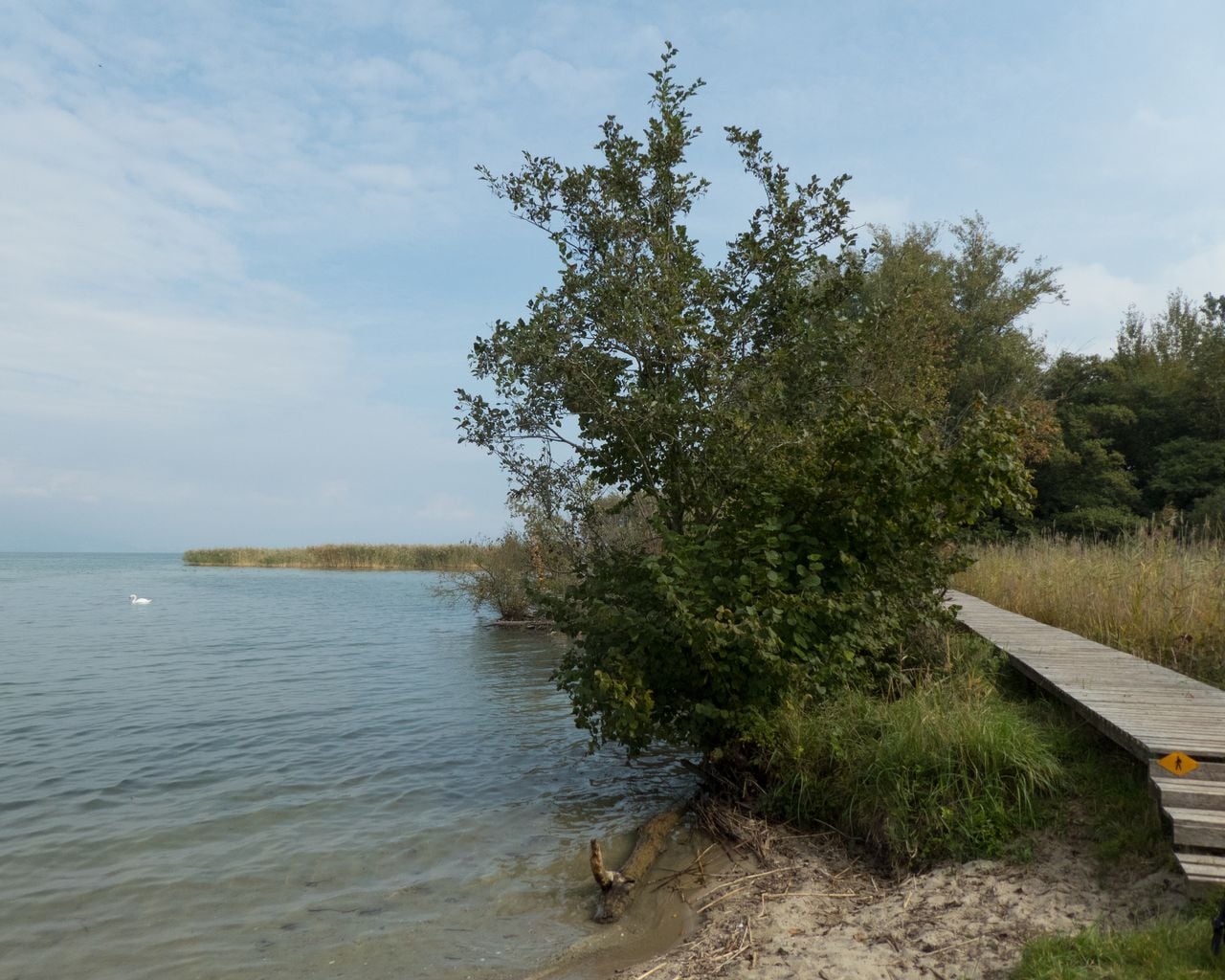
In Yverdon-Clendy überraschen die Menhire, gleich darauf das Pro Natura Zentrum «Champ-Pittet». Auf Holzstegen taucht man ein in die Schilflandschaft der Grande Cariçaie, klettert auf den luftigen Beobachtungsturm und erspäht viele Wassertiere.
Map
Getting there and tickets
- Public transport at startYverdon-les-Bains, gareBus · 1 min walk to the trail
- Public transport at finishEstavayer-le-Lac, hôpitalBus · 1 min walk to the trail
Sun, 25 Oct1 adult
Your hiking plan
from Zürich HB
The day
Pricing the ticket …
Zürich HB
Estavayer-le-Lac, hôpital
End of the route
Zürich HB
Popular activities
- Chemin des Trois-Lacs
Chemin des Trois-Lacs
WanderwegYverdon-les-Bains → Murten · 61 km · 17 h 15 min0 km - Boucle champêtre du Nord vaudois
Boucle champêtre du Nord vaudois
Cycling routesYverdon-les-Bains · 38 km0 km - Jurasüdfuss-Route, Stage 4/5
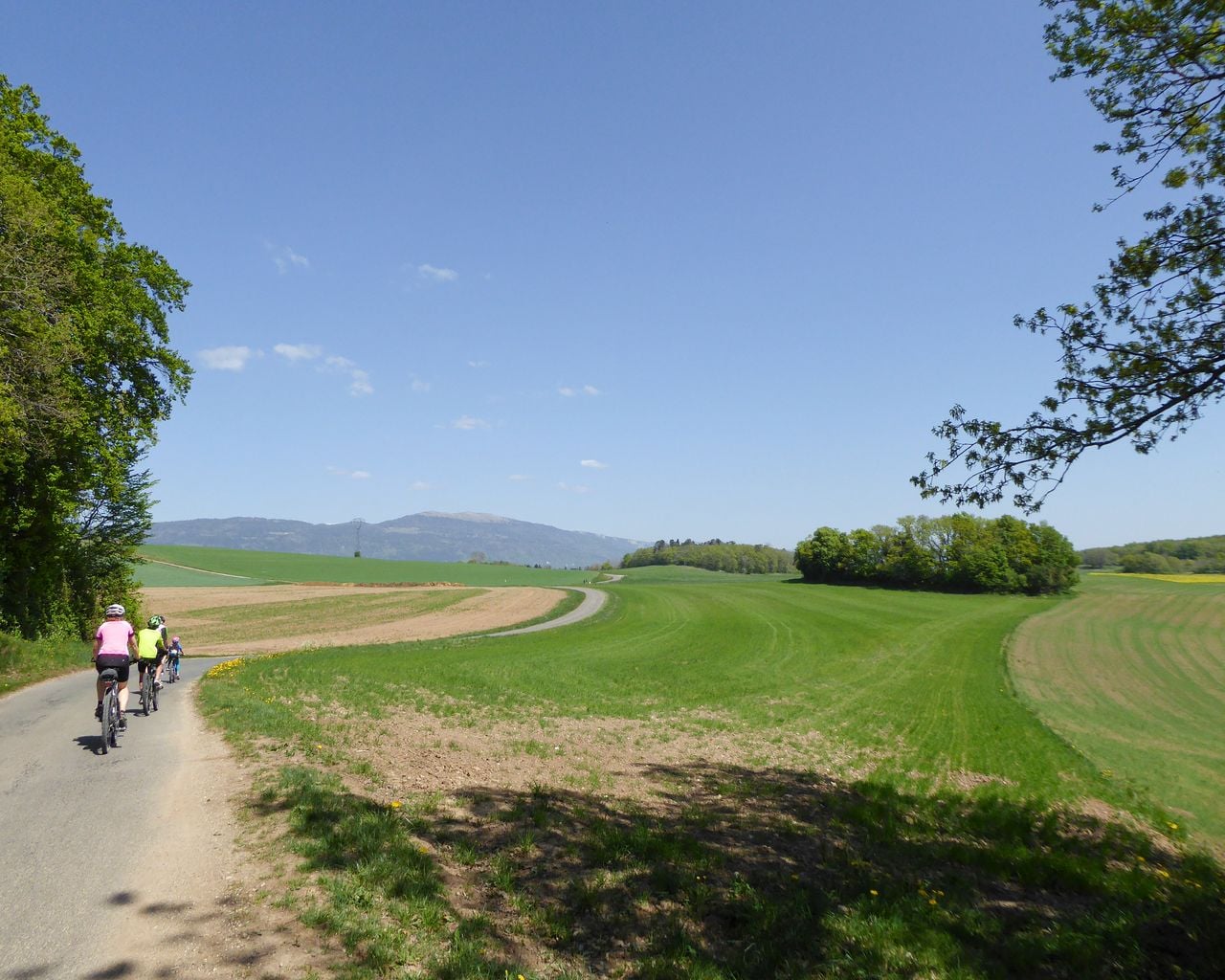
Jurasüdfuss-Route, Stage 4/5
Cycling routesYverdon-les-Bains → Bière · 49 km0.2 km - Nord Vaudois–Jura, Stage 2/3
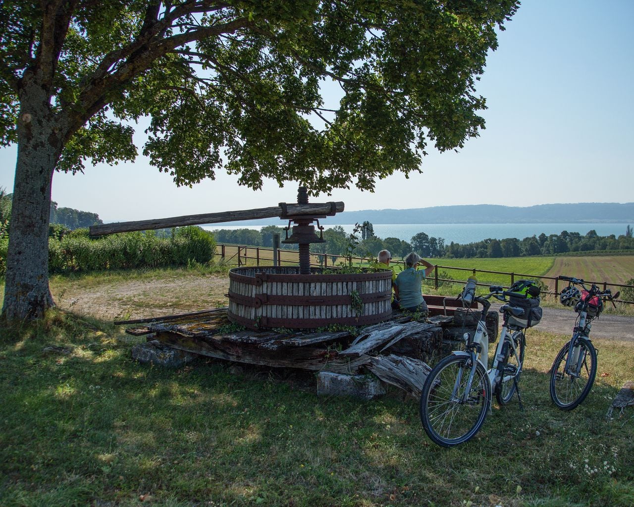

Nord Vaudois–Jura, Stage 2/3
Cycling routesYverdon-les-Bains → Corcelles · 36 km0.2 km - Mittelland Route, Stage 7/7
Mittelland Route, Stage 7/7
Cycling routesYverdon-les-Bains → Lausanne · 53 km0.2 km - La Belle au Bois Dormant avec Live-Orchestre

La Belle au Bois Dormant avec Live-Orchestre
EventYverdon-les-Bains0.7 km - Lausanne Ouchy interactive scavenger hunt with smartphone
 1/7
Lausanne Ouchy interactive scavenger hunt with smartphone
4.0(1)Lausanne32.6 kmper person
from CHF 9.95