Hiking trail
Sentier de Salanfe
- Mountain hiking trail
- Moderate
- VS
- Distance
- 13 km
- Duration
- 5 h 28 min
- Elevation Gain
- 720 m
- Elevation Loss
- 720 m
- Highest point
- 1,983 m

Still have questions? Ask Alpi.
Alpi helps you with tours, weather, and everything else that matters.
Elevation profile
Point at a spot with your mouse
About this route
Vom Tal «Vallon de Van» geht es hinauf zum Salanfe-See am Fusse der Dents du Midi. Der Wanderweg führt durch eine wilde, alpine Landschaft bis zu einer stillgelegten Goldmine.
Map
Getting there and tickets
- Public transit at startVan-d'en-Haut, campingBus · 1 min walk to the trail
- Public transit at endVan-d'en-Haut, campingBus · 1 min walk to the trail
Sat, Oct 311 adult
Your hiking plan
from Zürich HB
The day
Pricing the ticket …
Zürich HB
Van-d'en-Haut, camping
End of the route
Zürich HB
Popular activities
- Chemin de luge des Marécottes
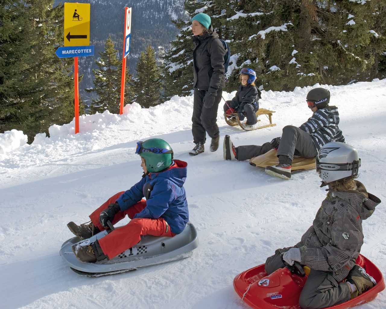
Chemin de luge des Marécottes
Sledging routesLes Marécottes, La Creusaz → Les Marécottes · 5.0 km9.4 km - ViaFrancigena, Stage 8/10
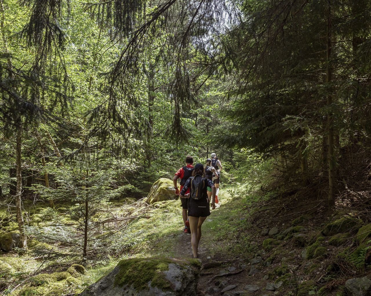

ViaFrancigena, Stage 8/10
WanderwegMartigny → Orsières · 20 km · 7 h 6 min13 km - Chemin du Vignoble, Stage 1/2
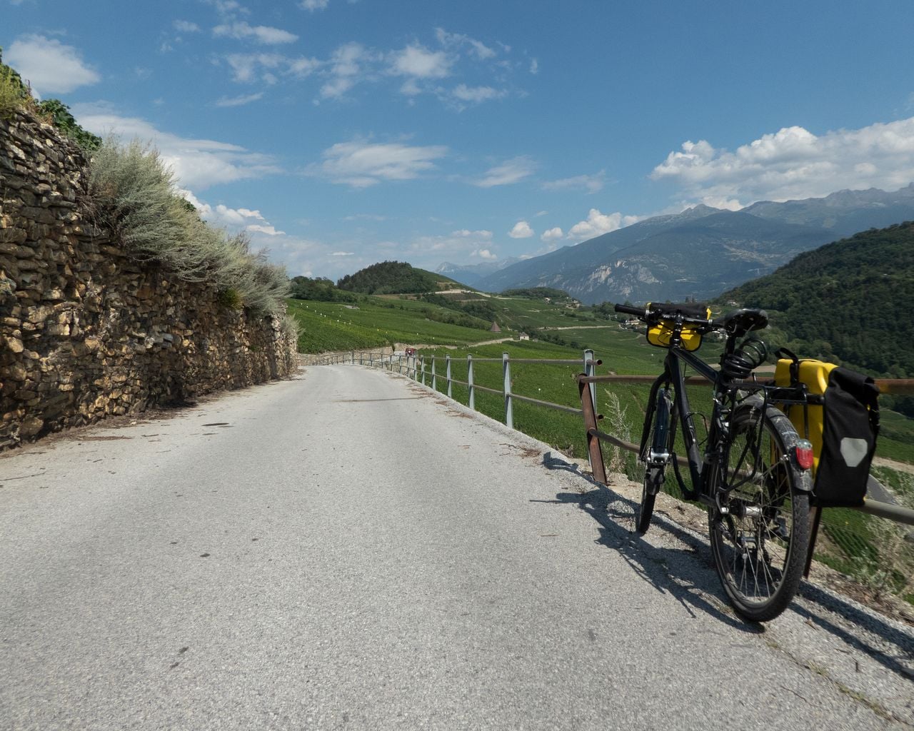
Chemin du Vignoble, Stage 1/2
Cycling routesMartigny → Sion · 35 km13.2 km - "Beat the groom" in Sion: action-packed stag party
 1/7
"Beat the groom" in Sion: action-packed stag party
3.0(1)Sion40.5 kmper person
from $378
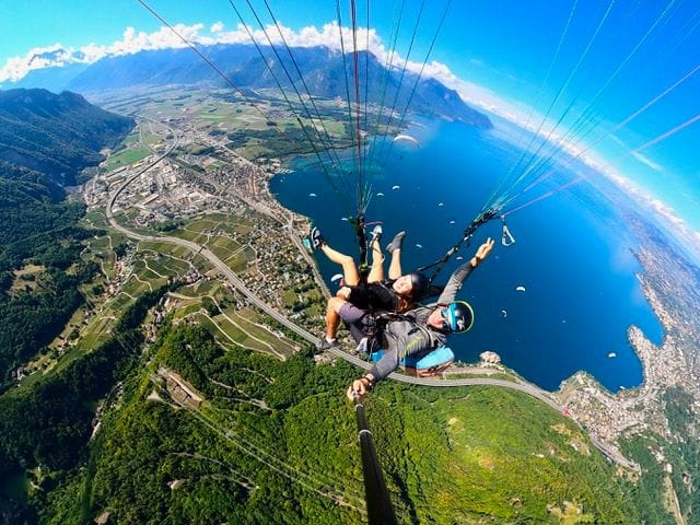
- Tandem paragliding near Montreux
 1/6
Tandem paragliding near Montreux
Villeneuve42.3 kmper person
from $240
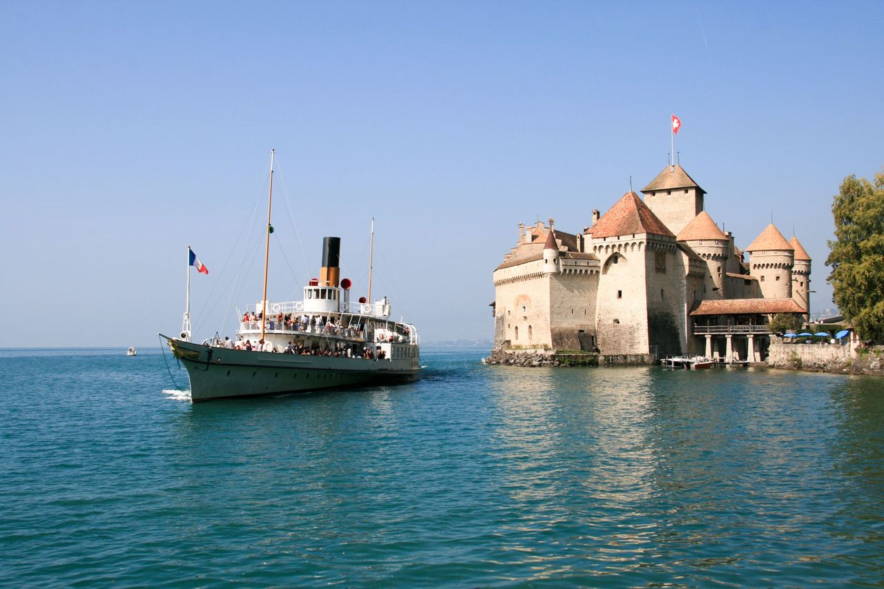
- Ticket Chateau Chillon in Montreux
 1/28
Ticket Chateau Chillon in Montreux
4.7(89)Veytauxper person
from $19