Sledging routes
Chemin de luge des Marécottes
- VS
- Distance
- 5 km
- Elevation Loss
- 660 m
- Highest point
- 1,774 m

Still have questions? Ask Alpi.
Alpi helps you with tours, weather, and everything else that matters.
Elevation profile
Point at a spot with your mouse
About this route
Frische Luft und maximalen Schlittelspass gibt es auf dem gut fünf Kilometer langen Schlittelweg, der vom Panoramarestaurant in La Creusaz bis ins Dorf Les Marécottes führt. Der Weg windet sich durch den Wald und weist keine besonderen Schwierigkeiten auf.
Map
Getting there and tickets
- Public transit at startLa CreusazCable car · 1 min walk to the trail
- Public transit at endLes Marécottes, télécabineBus · 1 min walk to the trail
Sat, Oct 311 adult
Your sledding day
from Zürich HB
The day
Pricing the ticket …
Zürich HB
Les Marécottes, télécabine
End of the route
Zürich HB
Nearby in winter
- Médiathèque-Valais-Martigny : 100db de moins, 100% de liens [EN]
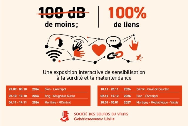
Médiathèque-Valais-Martigny : 100db de moins, 100% de liens [EN]
ExhibitionMédiathèque Valais - Martigny14.1 km - Médiathèque-Valais-Martigny : Le Champ des Sirènes - A. Vouillamoz [EN]
Médiathèque-Valais-Martigny : Le Champ des Sirènes - A. Vouillamoz [EN]
ExhibitionMédiathèque Valais - Martigny14.1 km - Médiathèque-Valais-Martigny:Tours et détours. Photos de Bernard Dubuis [EN]
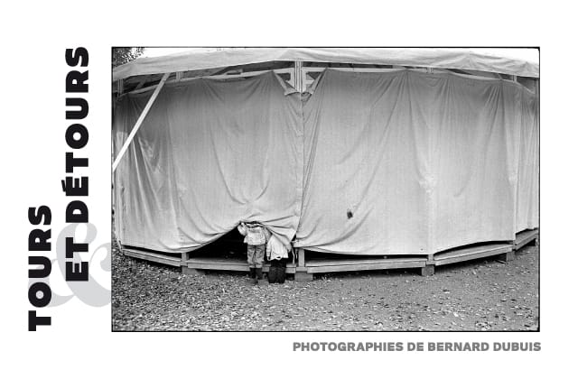
Médiathèque-Valais-Martigny:Tours et détours. Photos de Bernard Dubuis [EN]
ExhibitionMédiathèque Valais - Martigny14.1 km - Maison des Jeunes Archéologues: Vernissage Martigny Région avant les romains[EN]
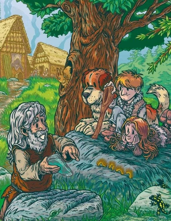
Maison des Jeunes Archéologues: Vernissage Martigny Région avant les romains[EN]
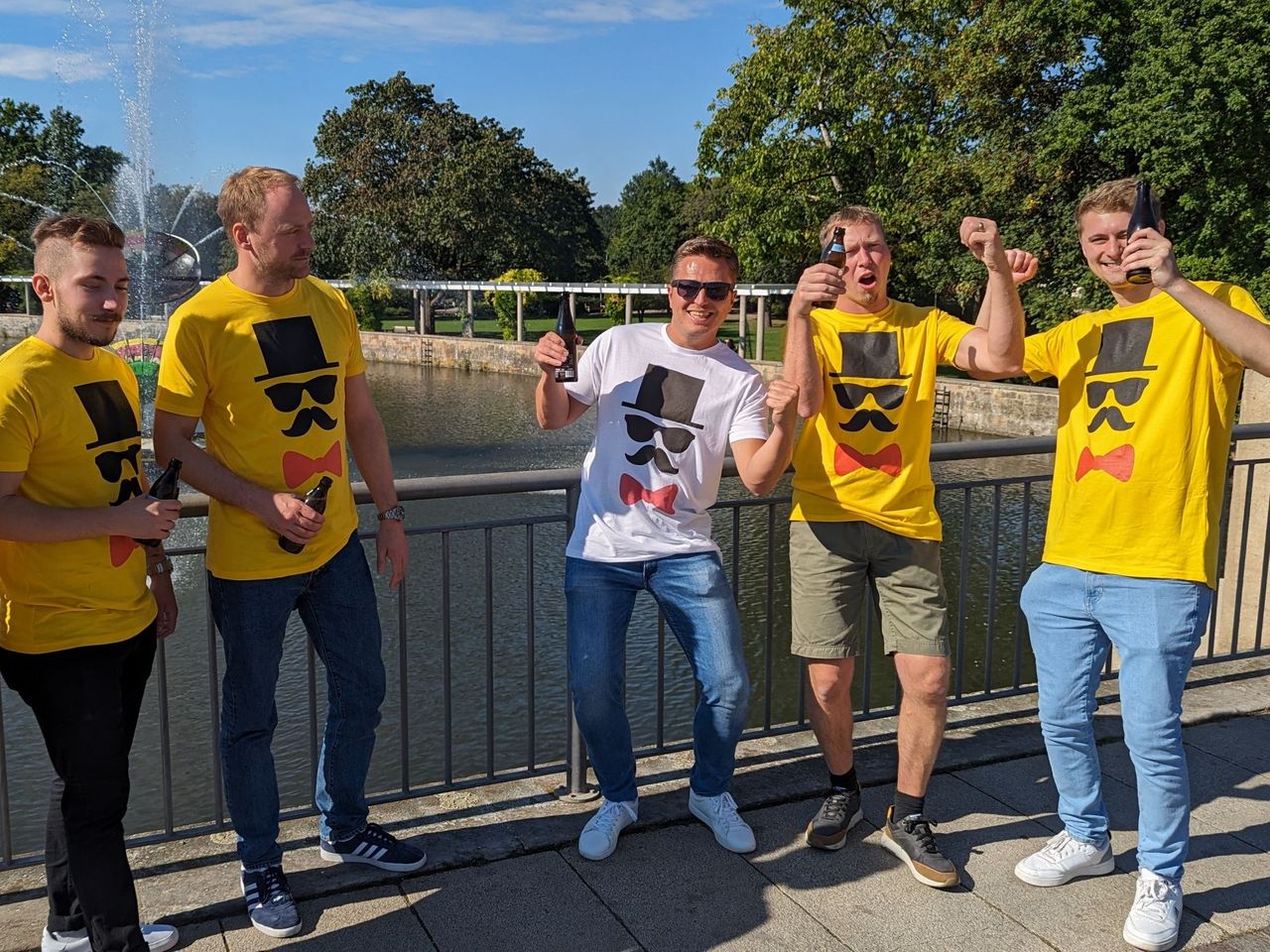
ExhibitionMaison des Jeunes Archéologues de Martigny14.3 km - "Beat the groom" in Sion: action-packed stag party
 1/7
"Beat the groom" in Sion: action-packed stag party
3.0(1)Sionper person
from $380
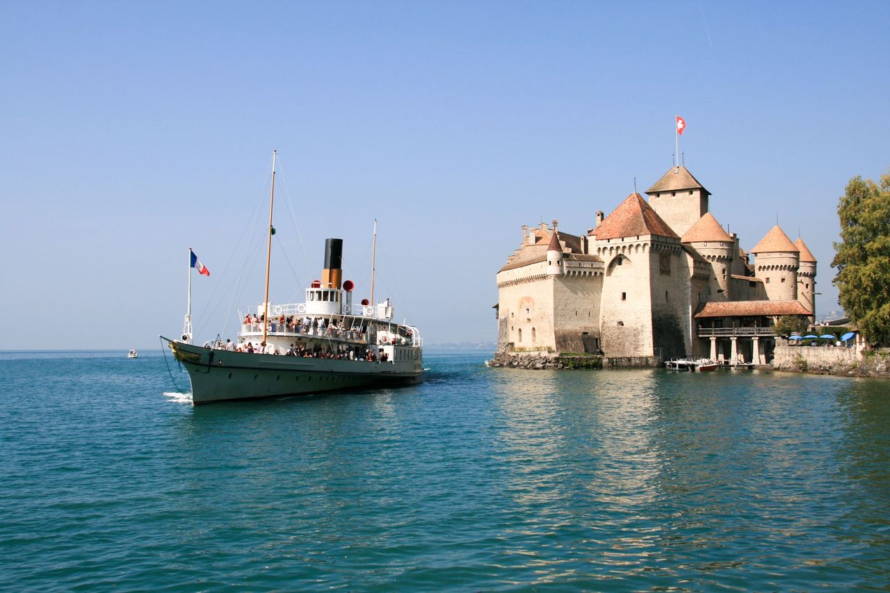
- Ticket Chateau Chillon in Montreux
 1/28
Ticket Chateau Chillon in Montreux
4.7(89)Veytauxper person
from $20
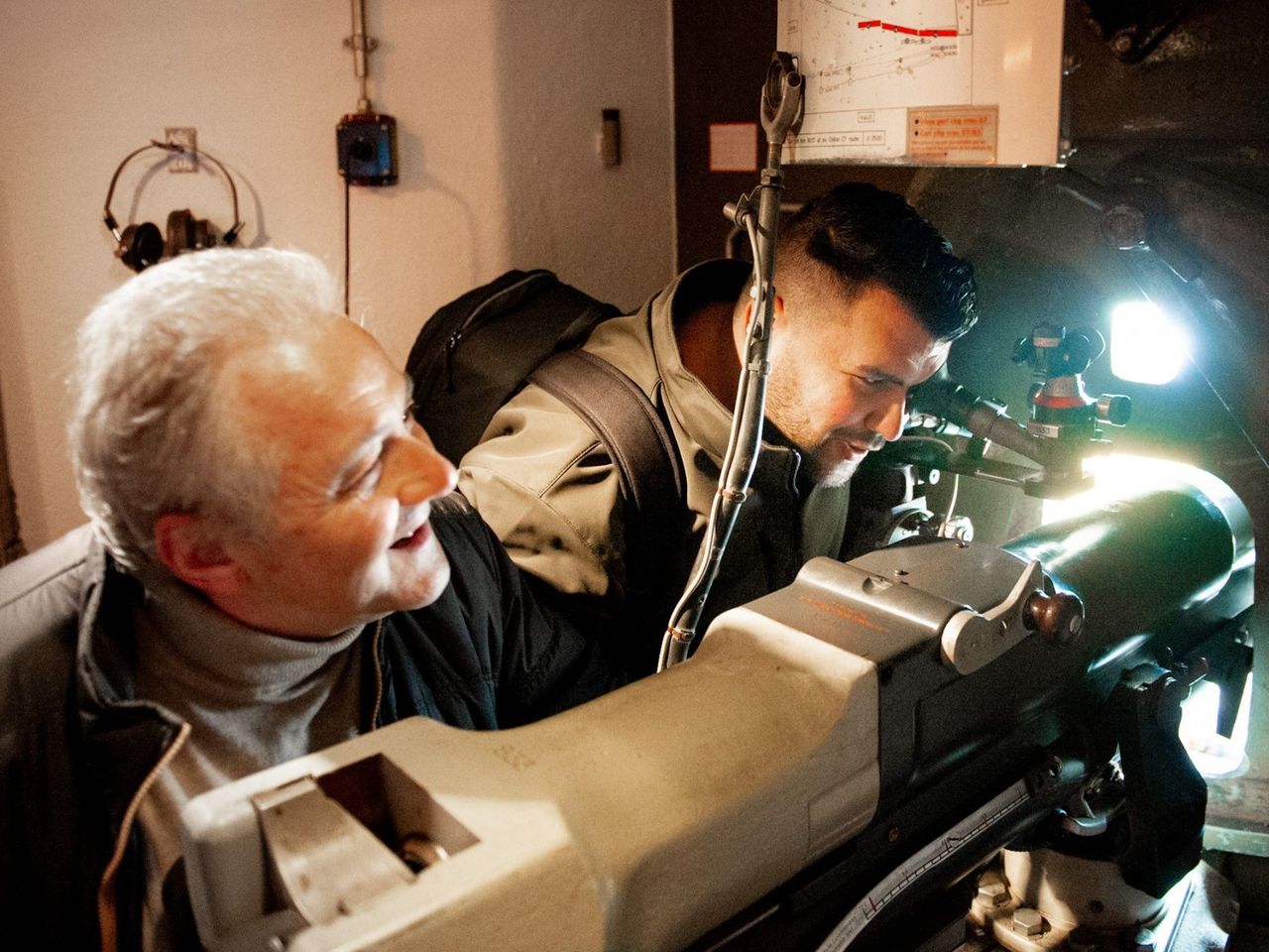
- Entrance Ticket Museum Fort de Chillon
 1/11
Entrance Ticket Museum Fort de Chillon
5.0(1)Montreuxper person
from $32