Hiking trail
Fafleralp-Rundweg
- Alpine hiking trail
- Moderate
- VS
- Distance
- 11 km
- Duration
- 5 h
- Elevation Gain
- 680 m
- Elevation Loss
- 680 m
- Highest point
- 2,356 m

Still have questions? Ask Alpi.
Alpi helps you with tours, weather, and everything else that matters.
Elevation profile
Point at a spot with your mouse
About this route
Gletschererlebnis im hintersten Teil des urtümlichen Lötschentals: Diese Wanderung führt zum Anensee und der gleichnamigen Hütte, von welcher man das ganze Tal überblickt. Mit herrlicher Aussicht auf den Langgletscher geht es entlang der Lonza zurück zur Fafleralp.
Map
Getting there and tickets
- Public transit at startFafleralpBus · 1 min walk to the trail
- Public transit at endFafleralpBus · 1 min walk to the trail
Sat, Nov 71 adult
Your hiking plan
from Zürich HB
The day
Pricing the ticket …
Zürich HB
Fafleralp
End of the route
Zürich HB
Popular activities
- Lötschberg-Panoramaweg, Stage 4/4
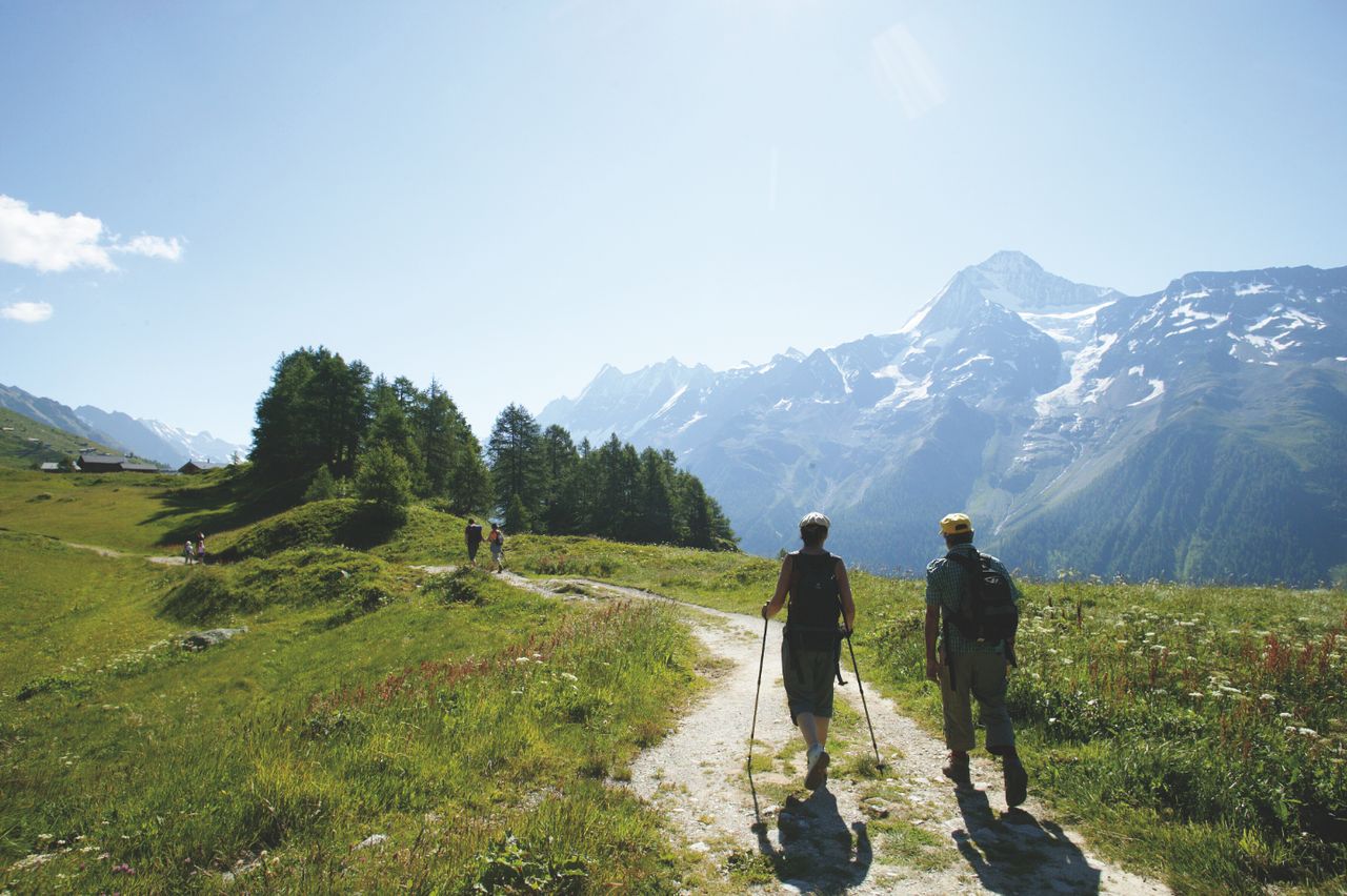

Lötschberg-Panoramaweg, Stage 4/4
BergwanderwegLauchernalp → Fafleralp · 9.0 km · 3 h 12 min - Schlittelweg Lauchernalp–Wiler
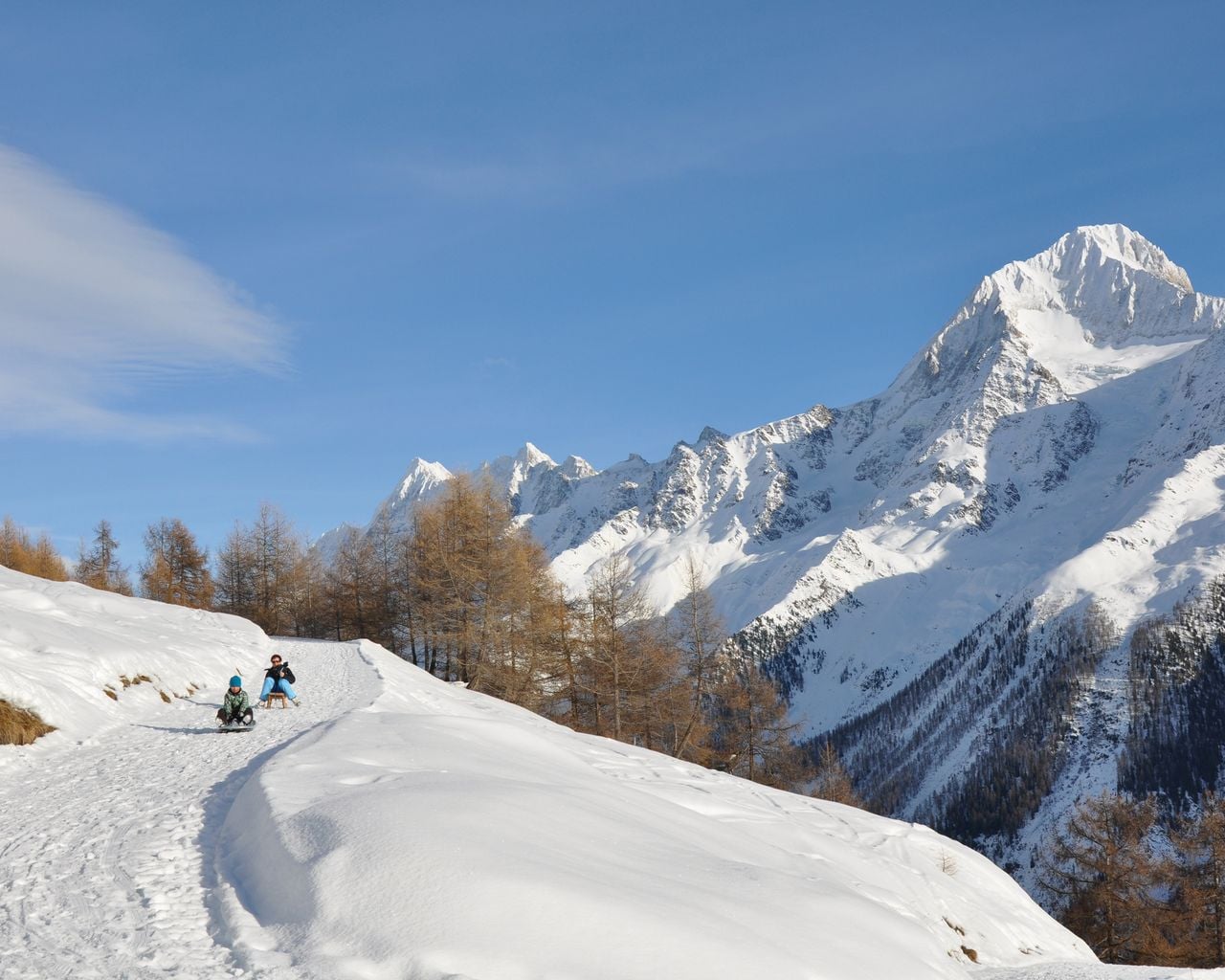
Schlittelweg Lauchernalp–Wiler
Sledging routesLauchernalp → Wiler (Lötschen) · 6.0 km - Rosswald paragliding tandem in Valais
 1/10
Rosswald paragliding tandem in Valais
5.0(6)Brigper person
from $191
- "Beat the groom" in Sion: action-packed stag party
 1/7
"Beat the groom" in Sion: action-packed stag party
3.0(1)Sionper person
from $381