


Hiking trail
Lötschberg-Panoramaweg, Stage 4/4
- Mountain hiking trail
- Moderate
- VS
- Distance
- 9 km
- Duration
- 3 h 12 min
- Elevation Gain
- 220 m
- Elevation Loss
- 580 m
- Highest point
- 2,115 m

Still have questions? Ask Alpi.
Alpi helps you with tours, weather, and everything else that matters.
Elevation profile
Point at a spot with your mouse
About this route
Am Sonnenhang des Lötschentals verlaufender Höhenweg über duftende Blumenwiesen und durch würzige Wälder. Herrlicher Tiefblick ins Tal sowie Rundsicht auf Gipfel und Gletscher. Im Schwarzsee baden und auf Tafeln Lötschentaler Sagen lesen. Ein Klassiker.
Map
Getting there and tickets
- Public transit at startStafel (Lauchernalp)Cable car · 5 min walk to the trail
- Public transit at endFafleralpBus · 1 min walk to the trail
Sun, Nov 11 adult
Your hiking plan
from Zürich HB
The day
Pricing the ticket …
Zürich HB
Fafleralp
End of the route
Zürich HB
Popular activities
- Lötschental Music Festival Features the MG Fafleralp Blatten's New Uniforms
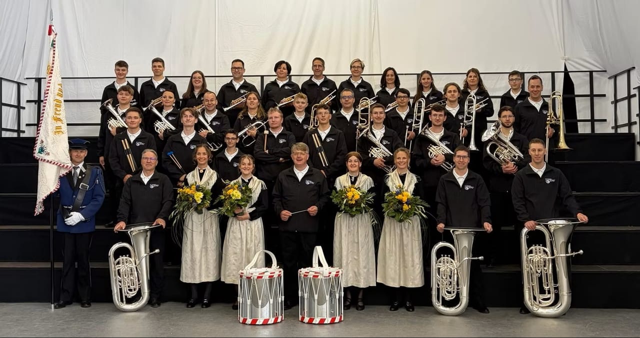
Lötschental Music Festival Features the MG Fafleralp Blatten's New Uniforms
EventWiler (Lötschen)4.7 km - Lötschental Christchindlimärt—a magical Christmas experience

Lötschental Christchindlimärt—a magical Christmas experience
EventWiler (Lötschen)4.8 km - Kultur im Schtadl - Spuren des Wandels

Kultur im Schtadl - Spuren des Wandels
ExhibitionLötschentaler Museum5.6 km - Rosswald paragliding tandem in Valais
 1/10
Rosswald paragliding tandem in Valais
5.0(6)Brig40.9 kmper person
from $191
- "Beat the groom" in Sion: action-packed stag party
 1/7
"Beat the groom" in Sion: action-packed stag party
3.0(1)Sionper person
from $381


