Winter hiking routes
St.-Antönien-Pany-Weg
- Moderate
- GR
- Distance
- 9 km
- Duration
- 3 h 21 min
- Ascent
- 380 m
- Descent
- 460 m
- Highest point
- 1,763 m

Got questions? Ask Alpi.
Alpi helps with tours, weather and everything you need to know.
Elevation profile
Point at a spot with your mouse
About this route
Der vermutlich meist gerühmte und begangene Winterwanderweg im ganzen Prättigau. Herrliche Panoramaroute, welche die beiden Walserdörfer St. Antönien und Pany miteinander verbindet.
Map
Getting there and tickets
- Public transport at startSt. Antönien, PlatzBus · 1 min walk to the trail
- Public transport at destinationPany, SchwimmbadBus · 1 min walk to the trail
Sat, 7 Nov1 adult
Your hiking plan
from Zürich HB
The day
Pricing the ticket …
Zürich HB
Pany, Schwimmbad
End of the route
Zürich HB
Nearby in winter
- Snowshoe tour with pulka and overnight camping
 1/5
Snowshoe tour with pulka and overnight camping
St. Antönien0.1 kmper person
from £456
- Full Moon and Moonlight Snowshoe Tour with Fondue Evening
 1/4
Full Moon and Moonlight Snowshoe Tour with Fondue Evening
St. Antönien0.9 kmper person
from £91
- Pany-Rundtrail


Pany-Rundtrail
Snowshoe routesPany, Riedwies → Pany, Skilift · 8.0 km · 4 h 34 min8.1 km - Rätikon-Panoramatrail
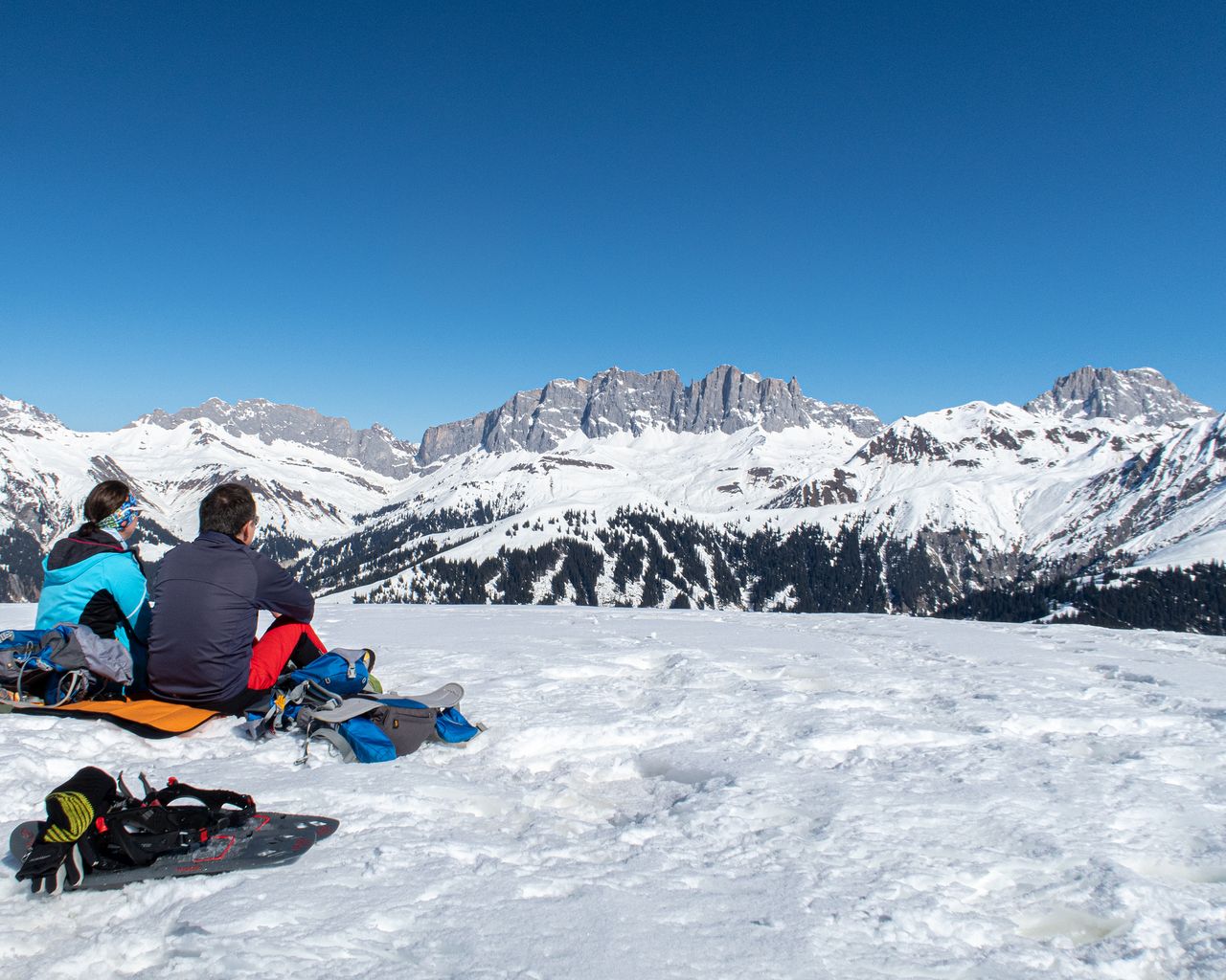
Rätikon-Panoramatrail
Snowshoe routesStels → St. Antönien · 9.0 km · 5 h 55 min9.2 km - Wine and cooking tour for groups
 1/8
Wine and cooking tour for groups
Maienfeld31.1 kmper person
from £236