Walking trail
Senda Ils Lejins
- Mountain hiking trail
- Moderate
- GR
- Distance
- 6 km
- Duration
- 2 h 59 min
- Ascent
- 420 m
- Descent
- 420 m
- Highest point
- 2,659 m

Got questions? Ask Alpi.
Alpi helps with tours, weather and everything you need to know.
Elevation profile
Point at a spot with your mouse
About this route
Entdecken Sie auf dieser Rundwanderung zu den 6 Lejins (Romanisch - kleine Seen) die einzigartige hochalpine Seen- und Pflanzenwelt des Oberengadins. Die Seen enthalten Mineralien und Gesteinsarten, nach welchen sie benannt sind.
Map
Getting there and tickets
- Public transport at startFurtschellas MittelstationCable car · 1 min walk to the trail
- Public transport at destinationFurtschellas MittelstationCable car · 1 min walk to the trail
Sun, 25 Oct1 adult
Your hiking plan
from Zürich HB
The day
Pricing the ticket …
Zürich HB
Furtschellas Mittelstation
End of the route
Zürich HB
Popular activities
- Fasten mit Anette – Fastenwoche mit Suppen und Säften im Hotel Sonne Fex
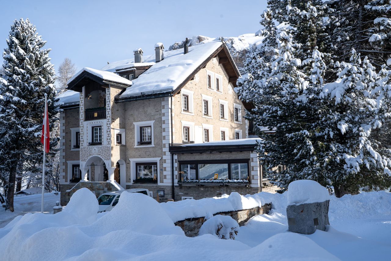
Fasten mit Anette – Fastenwoche mit Suppen und Säften im Hotel Sonne Fex
Culinary eventFex4.8 km - Solbad Arenas Resort Schweizerhof
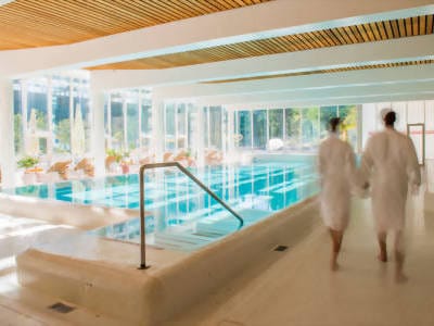
Solbad Arenas Resort Schweizerhof
Lido & bathing spotSils / Segl Maria5.6 km - Bike tour with BBQ or picnic from St. Moritz
 1/7
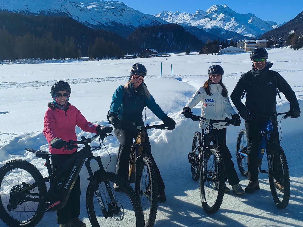
Bike tour with BBQ or picnic from St. Moritz
St. Moritz14.7 kmper person
from £473
- Bernina railway ticket route
 1/10
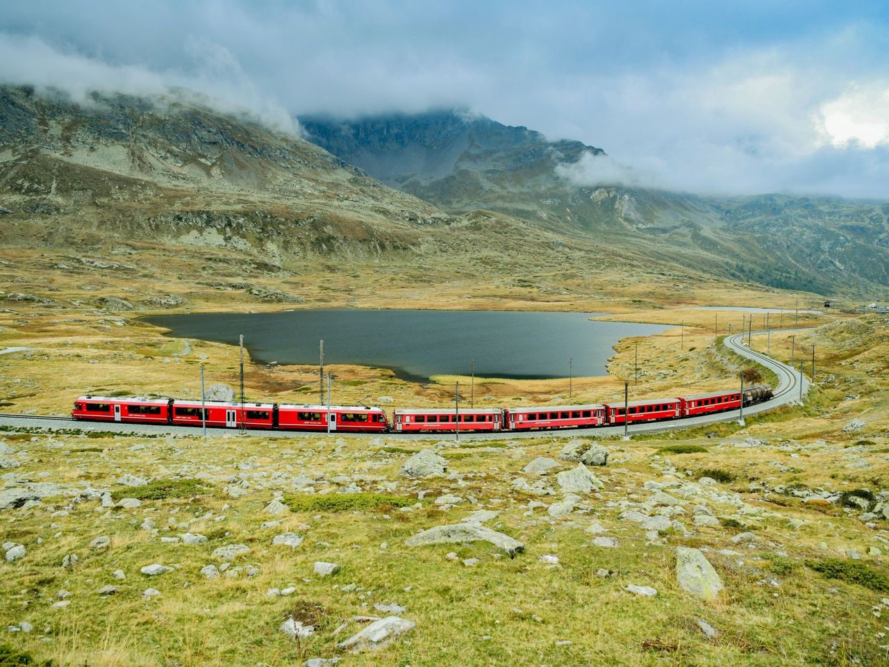
Bernina railway ticket route
4.5(48)St. Moritz14.9 kmper person
from £32
- Breakfast and spa at Cresta Palace in Celerina
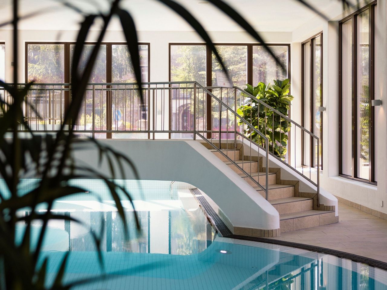 1/11
Breakfast and spa at Cresta Palace in Celerina
Celerina Schlarigna17.2 kmper person
from £86