Walking trail
Alpine Panorama Trail, Stage 1/29
- Hiking trail
- Hard
- SG
- Distance
- 19 km
- Duration
- 7 h 47 min
- Ascent
- 1,200 m
- Descent
- 700 m
- Highest point
- 1,121 m

Got questions? Ask Alpi.
Alpi helps with tours, weather and everything you need to know.
Elevation profile
Point at a spot with your mouse
About this route
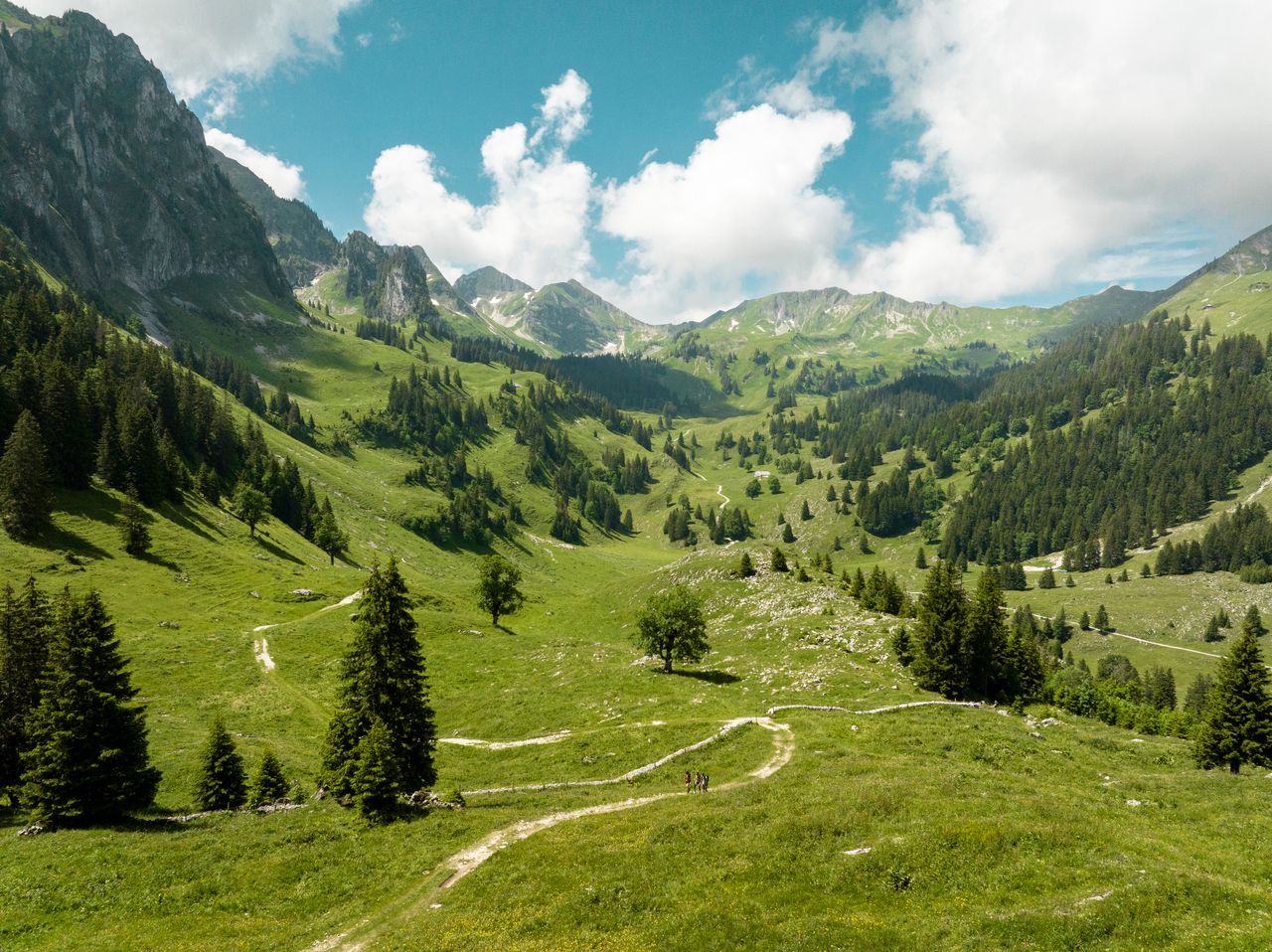
Der Aufstieg zum Luftkurort Heiden (mit Henri-Dunant-Museum) und zum Kaienspitz wird mit weiten Ausblicken auf den Bodensee und zum Alpstein belohnt. Über Rehetobel geht’s ins Chastenloch hinunter und zum ehemaligen Landsgemeindedorf Trogen hinauf.
Map
Getting there and tickets
- Public transport at startRorschach HafenTrain · 1 min walk to the trail
- Public transport at destinationTrogen, LandsgemeindeplatzBus · 1 min walk to the trail
Sat, 24 Oct1 adult
Your hiking plan
from Zürich HB
The day
Pricing the ticket …
Zürich HB
Trogen, Landsgemeindeplatz
End of the route
Zürich HB
Popular activities
- Alpine Panorama Trail
Alpine Panorama Trail
Walking trailRorschach → Genève · 510 km · 175 h 4 min0 km - Panorama Bike, Stage 1/14

Panorama Bike, Stage 1/14
Mountain bike routesRorschach → Trogen · 23 km0.1 km - Bodensee-Radweg, Stage 5/8
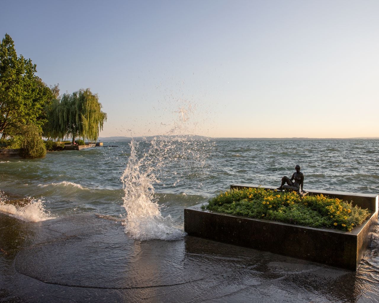
Bodensee-Radweg, Stage 5/8
Cycling routesRorschach → Kreuzlingen · 38 km0.9 km - Rheintaler Höhenweg, Stage 1/6
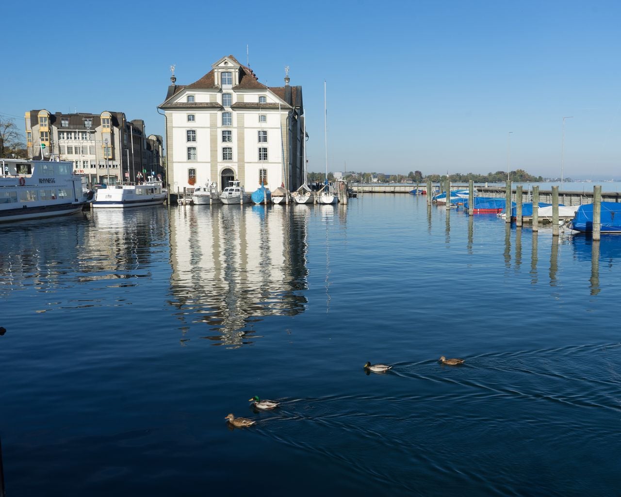
Rheintaler Höhenweg, Stage 1/6
WanderwegRorschach → Berneck · 19 km · 6 h 47 min1 km - "SECTOR" Activate Room St. Gallen
 1/8
"SECTOR" Activate Room St. Gallen
5.0(1)St. Gallen11.9 kmper person
from £38
- "The Magic Portal" Escape Game St. Gallen
 1/6
"The Magic Portal" Escape Game St. Gallen
4.9(9)St. Gallen12.1 kmper person
from £48
- "Operation Mindfall" Escape Game St. Gallen
 1/6
"Operation Mindfall" Escape Game St. Gallen
4.8(4)St. Gallen12.1 kmper person
from £48