Cycling routes
Geo-Route
- Moderate
- TG
- Distance
- 99 km
- Ascent
- 1,100 m
- Descent
- 1,150 m
- Highest point
- 648 m

Got questions? Ask Alpi.
Alpi helps with tours, weather and everything you need to know.
Elevation profile
Point at a spot with your mouse
About this route
Rätsel unter der Oberfläche: Auf der Geo-Route lassen sich die Ufer, Täler und Höhen des Thurgaus mit dem Velo entdecken. Zahlreiche geologische Höhepunkte liegen unter der sanften Oberfläche des Alpenvorlandes zwischen Romanshorn und Schaffhausen verborgen.
Map
Getting there and tickets
- Public transport at startSalmsach, BirkenwegBus · 2 min walk to the trail
- Public transport at destinationDiessenhofen (Schifflände)Boat · 8 min walk to the trail
Popular activities
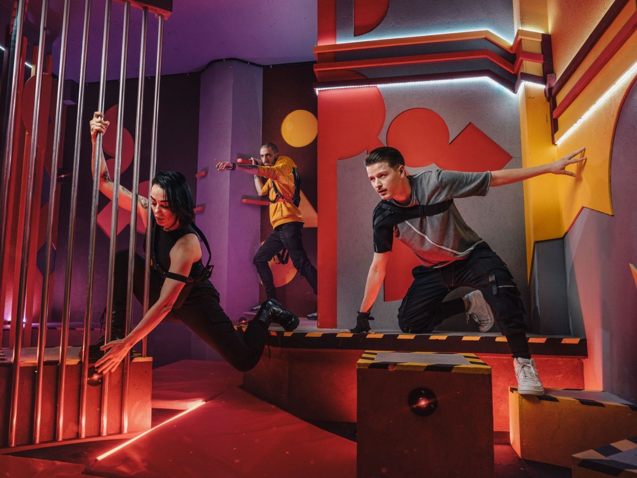
- "SECTOR" Activate Room St. Gallen
 1/8
"SECTOR" Activate Room St. Gallen
5.0(1)St. Gallen23.5 kmper person
from £28
- "The Magic Portal" Escape Game St. Gallen
 1/6
"The Magic Portal" Escape Game St. Gallen
4.9(9)St. Gallen23.7 kmper person
from £48
- "Operation Mindfall" Escape Game St. Gallen
 1/6
"Operation Mindfall" Escape Game St. Gallen
4.8(4)St. Gallen23.7 kmper person
from £48