Hiking Trail
Obwaldner Höhenweg, Stage 2/6
- Mountain hiking trail
- Hard
- OW
- Distance
- 20 km
- Walking time
- 8 h 2 min
- Ascent
- 1’250 m
- Descent
- 680 m
- Highest point
- 2’108 m

Still have questions? Ask Alpi.
Alpi can help with routes, weather and everything worth knowing nearby.
Elevation profile
Point at a spot with your mouse
About this route
Diese aussichtsreiche Voralpenwanderung führt durch die Moorlandschaft Glaubenberg über den gleichnamigen Pass. Weiter über den Sattel- und Glaubenbielenpass kommt man in die Panoramawelt Lungern-Schönbüel. Lohnend ist zum Schluss der Gipfelabstecher auf die Höch Gumme mit spektakulären Tiefblicken auf den Brienzersee.
Map
Getting there and tickets
- Public transport at startLangisBus · 4 min walk to the trail
Sat, 31 Oct1 adult
Your hiking plan
from Zürich HB
The day
Pricing the ticket …
Zürich HB
Schönbüel (OW)
End of the route
Zürich HB
Popular activities
- Panorama Bike, Stage 8/14
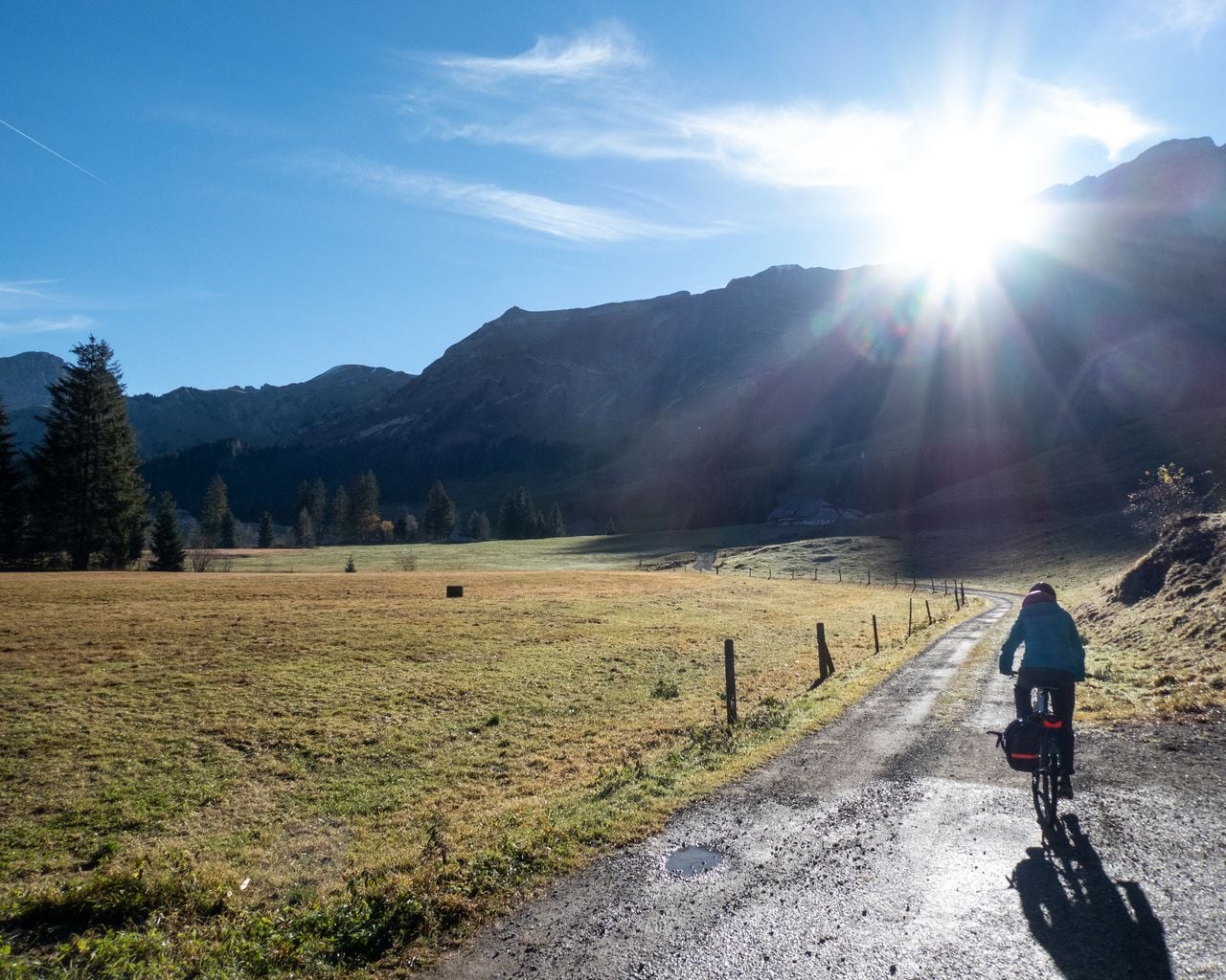

Panorama Bike, Stage 8/14
Mountain bike routesSarnen → Sörenberg · 29 km12.2 km - Ticket for the Adventure World "Niklaus and Dorothee Flüe" at Lumeum
 1/11
Ticket for the Adventure World "Niklaus and Dorothee Flüe" at Lumeum
5.0(5)Kerns18.5 kmper person
from CHF 28
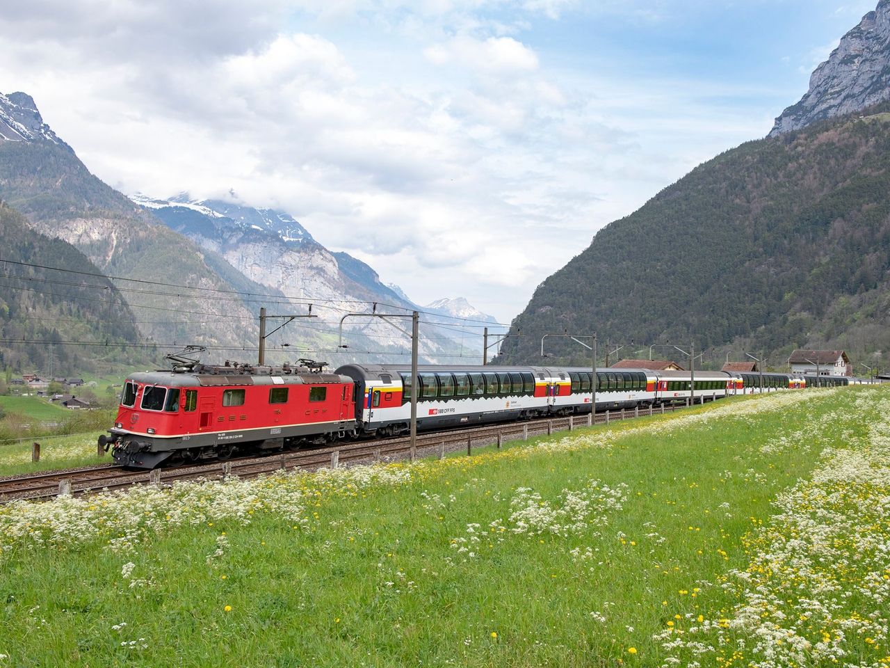
- Gotthard Panorama Express Ticket
 1/2
Gotthard Panorama Express Ticket
4.8(20)Lucerne34.4 kmper person
from CHF 176