Winter hiking routes
Winterwanderweg Britanniahütte
- Hard
- VS
- Distance
- 6 km
- Duration
- 3 h 25 min
- Elevation Gain
- 500 m
- Elevation Loss
- 500 m
- Highest point
- 3,058 m

Still have questions? Ask Alpi.
Alpi helps you with tours, weather, and everything else that matters.
Elevation profile
Point at a spot with your mouse
About this route
Winterwandern im Hochgebirge, inmitten der Gletscherwelt von Saas-Fee – das bietet der kurze Weg zwischen der Felskinn Bergstation und der Britanniahütte. Der Winterwanderweg ist in der Regel ab Ende Februar präpariert, wenn die Britanniahütte offen ist.
Map
Getting there and tickets
- Public transit at startFelskinnCable car · 1 min walk to the trail
- Public transit at endFelskinnCable car · 1 min walk to the trail
Sun, Nov 221 adult
Your hiking plan
from Zürich HB
The day
Pricing the ticket …
Zürich HB
Felskinn
End of the route
Zürich HB
Nearby in winter
- Private Ski Lessons for All Levels
 1/6
Private Ski Lessons for All Levels
Saas-Fee7.2 kmper group
from $275
- Gorge Alpine winter night under the stars
 1/3
Gorge Alpine winter night under the stars
Saas-Fee7.2 kmper person
from $450
- Carl-Zuckmayer-Winterwanderweg
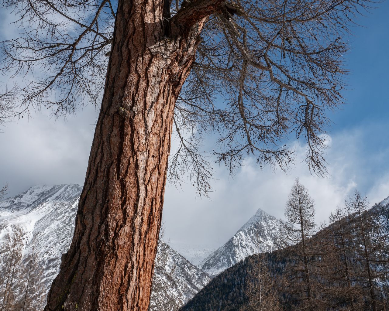

Carl-Zuckmayer-Winterwanderweg
Winter hiking routesSaas-Fee, Obere Wildi · 5.0 km · 1 h 54 min7.8 km - Winterwanderweg Mattmark


Winterwanderweg Mattmark
Winter hiking routesSaas-Almagell · 14 km · 4 h 56 min9.6 km - Heimischgarte Trail


Heimischgarte Trail
Snowshoe routesSaas-Balen → Saas-Grund · 9.0 km · 5 h 36 min13.3 km