


Winter hiking routes
Chemin sur la crête du Cousimbert
- Easy
- FR
- Distance
- 4 km
- Duration
- 1 h 21 min
- Elevation Gain
- 130 m
- Elevation Loss
- 130 m
- Highest point
- 1,636 m

Still have questions? Ask Alpi.
Alpi helps you with tours, weather, and everything else that matters.
Elevation profile
Point at a spot with your mouse
About this route
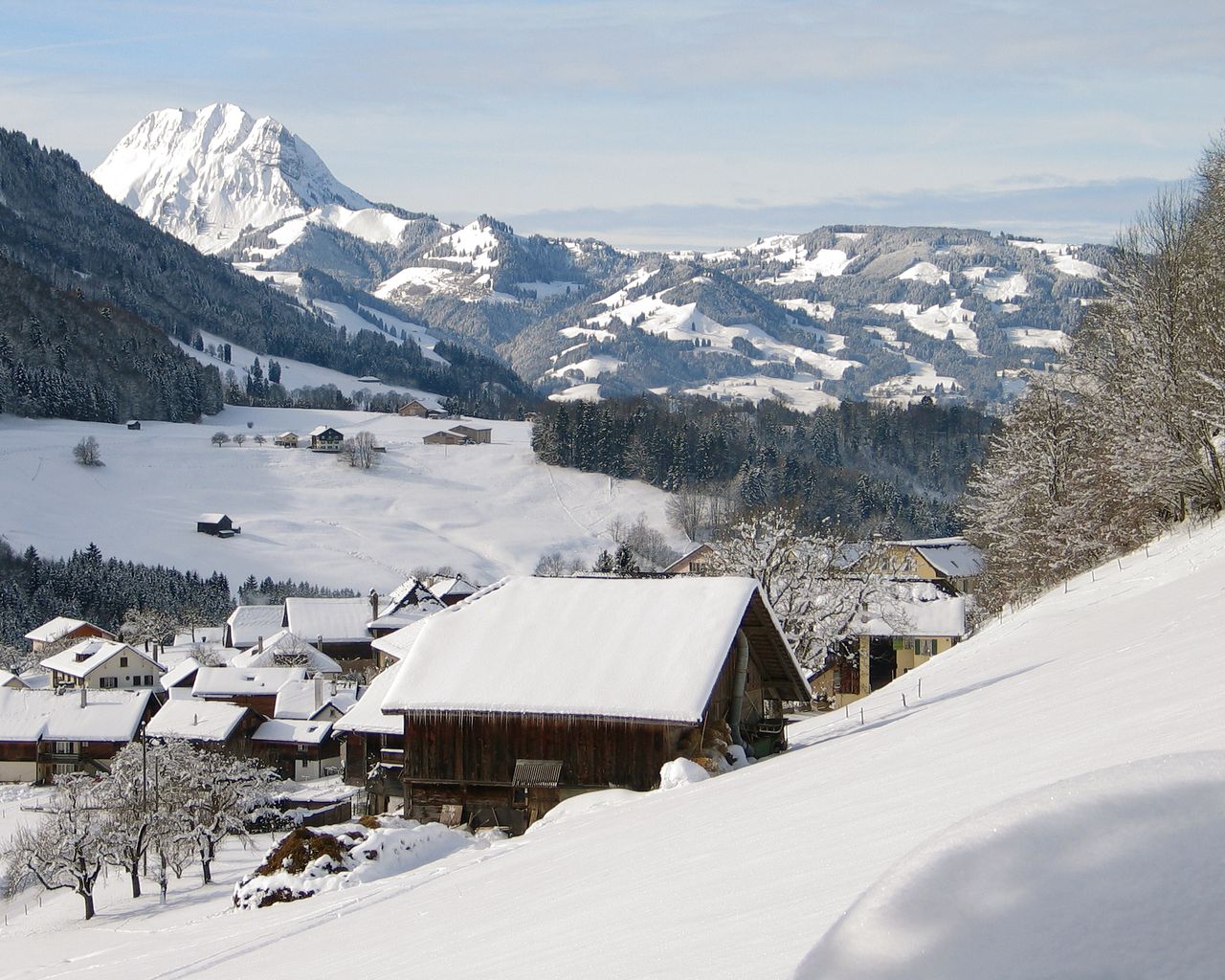
Dem Grat entlang, zwischen den beiden Gipfeln La Berra und Le Cousimbert (Deutsch: Käsenberg): Unterwegs geniesst man einen herrlichen Rundblick über das Greyerzerland, den See und die Freiburger Voralpen.
Map
Getting there and tickets
- Public transit at startLa BerraCable car · 1 min walk to the trail
- Public transit at endLa BerraCable car · 1 min walk to the trail
Sat, Nov 211 adult
Your hiking plan
from Zürich HB
The day
Pricing the ticket …
Zürich HB
La Berra
End of the route
Zürich HB
Nearby in winter
- Parcours Montsoflo–Les Fornis
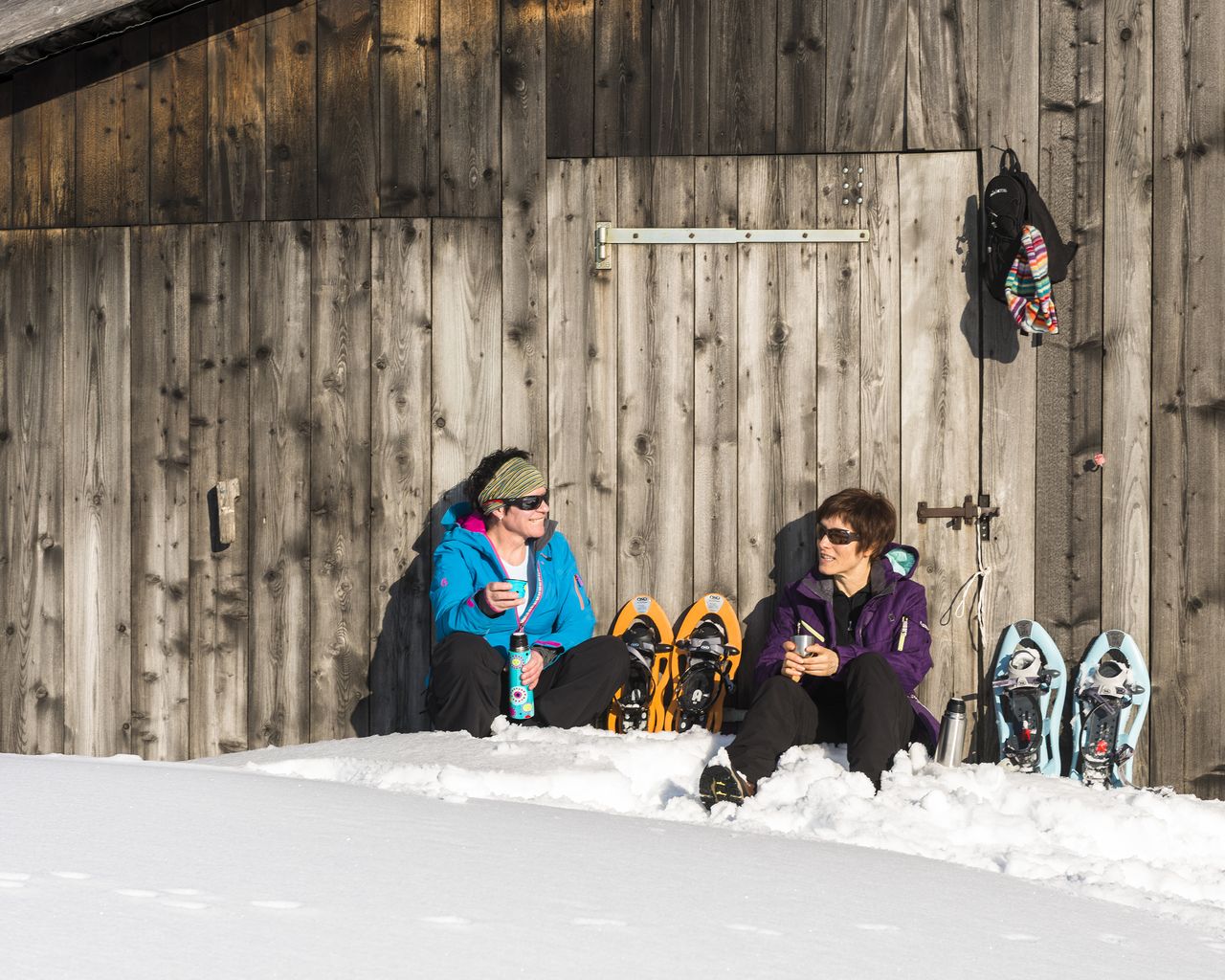

Parcours Montsoflo–Les Fornis
Snowshoe routesLa Roche, Montsoflo · 5.0 km · 2 h 17 min5.6 km - Parcours de la Monse

Parcours de la Monse
Snowshoe routesCharmey, Lodzetta · 3.0 km · 1 h 48 min11.5 km - "Chocolate-making pleasure for everyone" Workshop Maison Cailler
 1/11
"Chocolate-making pleasure for everyone" Workshop Maison Cailler
5.0(8)Broc14.5 kmper person
from $57
- "Chocolate Champions" Workshop Maison Cailler
 1/6
"Chocolate Champions" Workshop Maison Cailler
5.0(3)Broc14.5 kmper person
from $38
- Ticket Maison Cailler Chocolate Factory
 1/8
Ticket Maison Cailler Chocolate Factory
4.6(180)Broc14.5 kmper person
from $22
- Foxtrail GO Fribourg digital scavenger hunt
 1/6
Foxtrail GO Fribourg digital scavenger hunt
5.0(1)Fribourg19.5 kmper person
from $24
- Fribourg interactive scavenger hunt with smartphone
 1/4
Fribourg interactive scavenger hunt with smartphone
4.0(3)Fribourg19.6 kmper person
from $13


