

Winter hiking routes
Chemin Caux–Gresalleys
- Moderate
- VD
- Distance
- 6 km
- Duration
- 1 h 44 min
- Elevation Gain
- 90 m
- Elevation Loss
- 90 m
- Highest point
- 1,242 m

Still have questions? Ask Alpi.
Alpi helps you with tours, weather, and everything else that matters.
Elevation profile
Point at a spot with your mouse
About this route
Entdecken Sie Caux, wo sich der Charme der Belle Époque zur Schönheit unberührter Natur und einer unglaublichen Aussicht gesellt. Das Ambiente im Ort ist romantisch und von einer unvergleichlichen Anziehungskraft. Die Kaiserin Sissi machte hier besonders gern lange Spaziergänge...
Map
Getting there and tickets
- Public transit at startHaut-de-Caux, gareBus · 1 min walk to the trail
- Public transit at endHaut-de-Caux, gareBus · 1 min walk to the trail
Sat, Nov 141 adult
Your hiking plan
from Zürich HB
The day
Pricing the ticket …
Zürich HB
Haut-de-Caux, gare
End of the route
Zürich HB
Nearby in winter
- Foxtrail GO Montreux Digital Treasure Hunt
 1/5
Foxtrail GO Montreux Digital Treasure Hunt
Montreux5.4 kmper person
from $25
- Montreux interactive scavenger hunt with the smartphone
 1/4
Montreux interactive scavenger hunt with the smartphone
4.9(7)Montreux5.5 kmper person
from $13
- TMR, 50 ans de savoir-faire

TMR, 50 ans de savoir-faire
15:00ExhibitionMaison Visinand - Centre Culturel Montreux5.6 km - Leo Paschoud, How to sell online
Leo Paschoud, How to sell online
15:00ExhibitionMaison Visinand - Centre Culturel Montreux5.6 km - Parcours du Molard
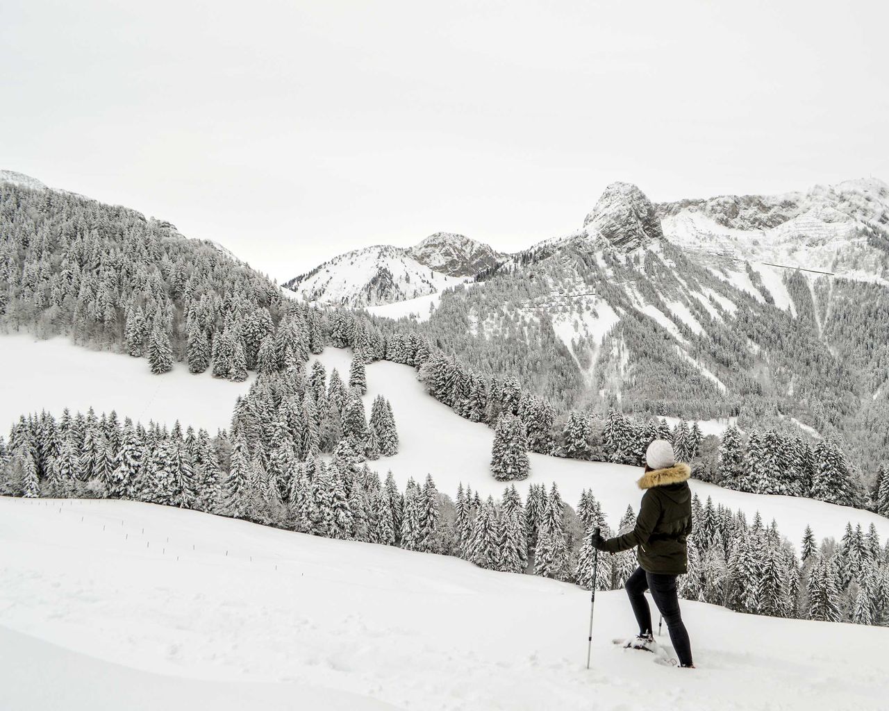
Parcours du Molard
Snowshoe routesLes Avants, Cergniaule · 7.0 km · 4 h 3 min6.7 km - Entrance Ticket Museum Fort de Chillon
 1/11
Entrance Ticket Museum Fort de Chillon
5.0(1)Montreux7.1 kmper person
from $32
- Ticket Chateau Chillon in Montreux
 1/28
Ticket Chateau Chillon in Montreux
4.7(90)Veytaux7.2 kmper person
from $20


