


Snowshoe routes
Wetterhorn Trail
- Moderate
- BE
- Distance
- 4 km
- Duration
- 2 h 19 min
- Elevation Gain
- 240 m
- Elevation Loss
- 240 m
- Highest point
- 1,435 m

Still have questions? Ask Alpi.
Alpi helps you with tours, weather, and everything else that matters.
Elevation profile
Point at a spot with your mouse
About this route
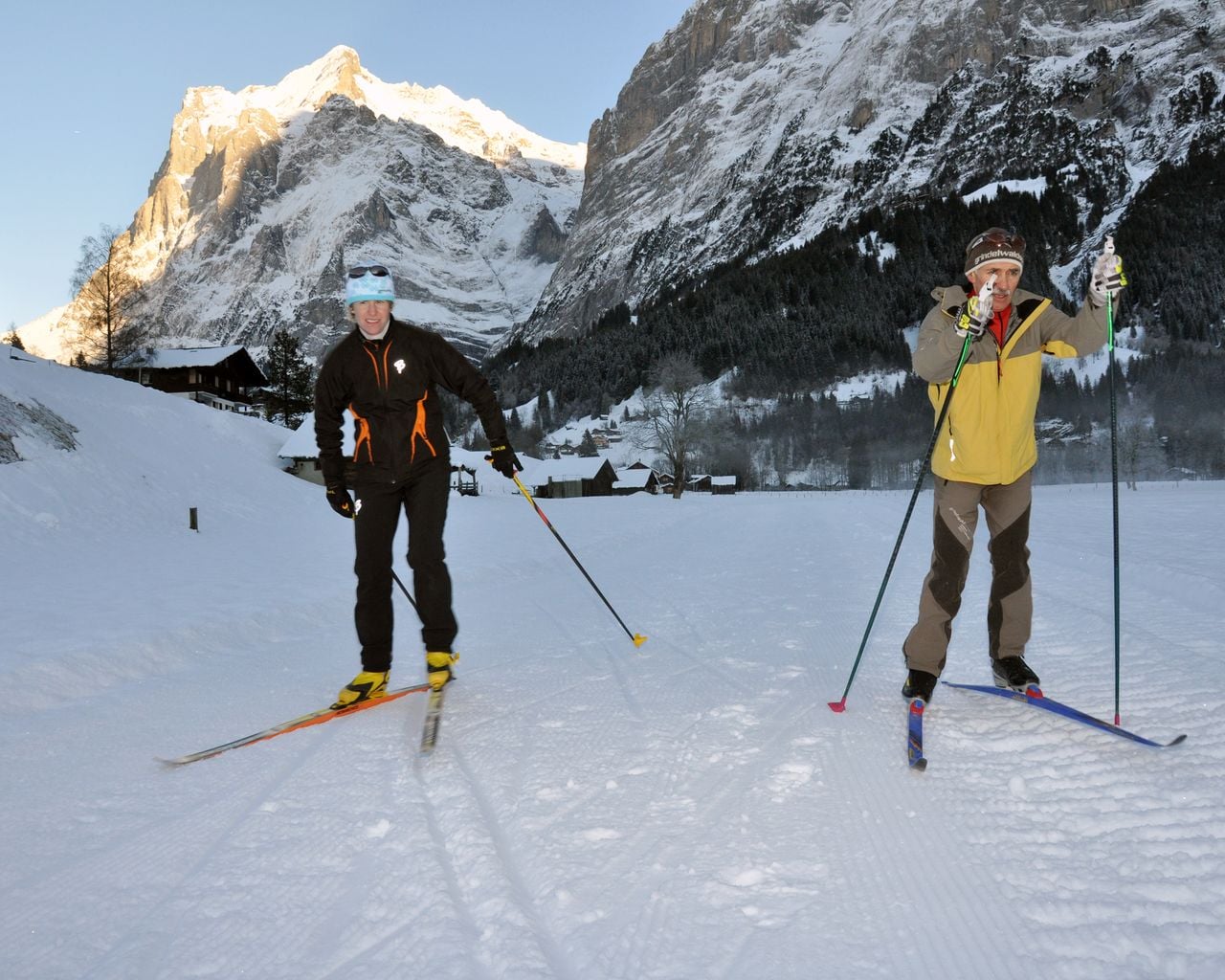
Es muss nicht immer der Eiger sein: Am Fusse des Wetterhorns schlängelt sich der Trail über verschneite Wiesen und Wälder Richtung Grosse Scheidegg.
Map
Getting there and tickets
- Public transit at startGrindelwald, Oberer GletscherBus · 1 min walk to the trail
- Public transit at endGrindelwald, Oberer GletscherBus · 1 min walk to the trail
Sat, Nov 211 adult
Your hiking plan
from Zürich HB
The day
Pricing the ticket …
Zürich HB
Grindelwald, Oberer Gletscher
End of the route
Zürich HB
Nearby in winter
- Ticket Bodmi Arena Grindelwald Sledding and Snowtubing
 1/6
Ticket Bodmi Arena Grindelwald Sledding and Snowtubing
4.6(8)Grindelwald2.7 kmper person
from $13
- Kids Ski Lessons for Beginners
 1/5
Kids Ski Lessons for Beginners
4.7(22)Grindelwald2.9 kmper day · 5 mornings
$ 85
- Paragliding Grindelwald from First
 1/6
Paragliding Grindelwald from First
4.8(269)Grindelwald3.4 kmper person
from $274
- Snowboard Lessons for Kids & Adults - All Levels
 1/4
Snowboard Lessons for Kids & Adults - All Levels
5.0(1)Grindelwald3.4 kmper day · 5 mornings
$ 85
- Bodmi Arena "Beginner Package" full day
 1/12
Bodmi Arena "Beginner Package" full day
5.0(5)Grindelwald3.8 kmper person
from $248
- Bodmi Arena "Afternoon Beginner Package"
 1/12
Bodmi Arena "Afternoon Beginner Package"
Grindelwald3.8 kmper person
from $173
- Grund-Gletscherschlucht-Loipe
Grund-Gletscherschlucht-Loipe
Cross-Country SkiingGrindelwald, Grund · 8.0 km4.6 km


