


Snowshoe routes
Percorso Mornera
- Moderate
- TI
- Distance
- 5 km
- Duration
- 2 h 37 min
- Elevation Gain
- 260 m
- Elevation Loss
- 260 m
- Highest point
- 1,483 m

Still have questions? Ask Alpi.
Alpi helps you with tours, weather, and everything else that matters.
Elevation profile
Point at a spot with your mouse
About this route
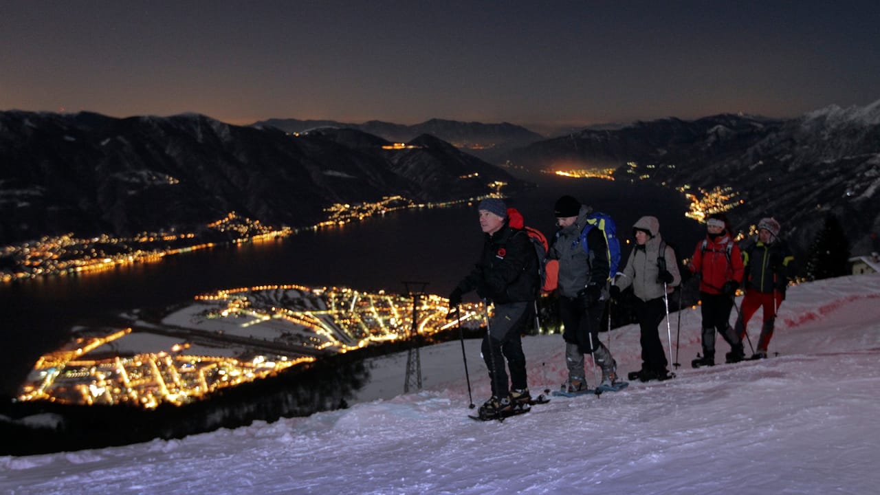
Diese schöne Rundstrecke führt durch die dichten Wälder von Mornera. Unterwegs bieten sich durch die Bäume immer wieder herrliche Aussichten – von den Schlössern Bellinzonas bis zum Lago Maggiore.
Map
Getting there and tickets
- Public transit at startMorneraCable car · 1 min walk to the trail
- Public transit at endMorneraCable car · 1 min walk to the trail
Sun, Nov 151 adult
Your hiking plan
from Zürich HB
The day
Pricing the ticket …
Zürich HB
Mornera
End of the route
Zürich HB
Nearby in winter
- "The Iguanas" Outdoor Escape Game Bellinzona
 1/10
"The Iguanas" Outdoor Escape Game Bellinzona
Bellinzona7 kmper person
from $16
- Pool and slides ticket to Splash and Spa
 1/5
Pool and slides ticket to Splash and Spa
4.9(22)Rivera21.3 kmper person
from $54
- Monte Tamaro paragliding tandem flight
 1/4
Monte Tamaro paragliding tandem flight
5.0(1)Rivera21.3 kmper person
from $313
- Foxtrail GO Locarno digital scavenger hunt
 1/4
Foxtrail GO Locarno digital scavenger hunt
Locarno24.9 kmper person
from $24
- "The Hidden Courtyards of Locarno" Private City Tour

"The Hidden Courtyards of Locarno" Private City Tour
Locarno25 kmper person
from $46
- Centovalli Railway Tourist Ticket between Domodossola and Locarno
 1/7
Centovalli Railway Tourist Ticket between Domodossola and Locarno
4.3(9)Locarno25.1 kmper person
from $39
- Percorso Cardada–Cimetta

Percorso Cardada–Cimetta
Snowshoe routesCardada, Colmanicchio · 5.0 km · 3 h 27 min33.7 km


