Snowshoe routes
Parcours du Rotey
- Easy
- FR
- Distance
- 3 km
- Duration
- 1 h 36 min
- Elevation Gain
- 160 m
- Elevation Loss
- 160 m
- Highest point
- 1,154 m
Elevation profile
Point at a spot with your mouse
About this route
Diese Route führt den Bahngleisen entlang und bietet einen Blick auf den Weiler Allières und die Alpen von Revers. Sie verspricht pures Wintervergnügen an der frischen Luft.
Map
Getting there and tickets
- Public transit at startAllières, gareBus · 1 min walk to the trail
- Public transit at endAllières, gareBus · 1 min walk to the trail
Sat, Oct 241 adult
Your hiking plan
from Zürich HB
The day
Pricing the ticket …
Zürich HB
Allières, gare
End of the route
Zürich HB
Popular activities
- L’Intyamon de Montbovon à la Brâ
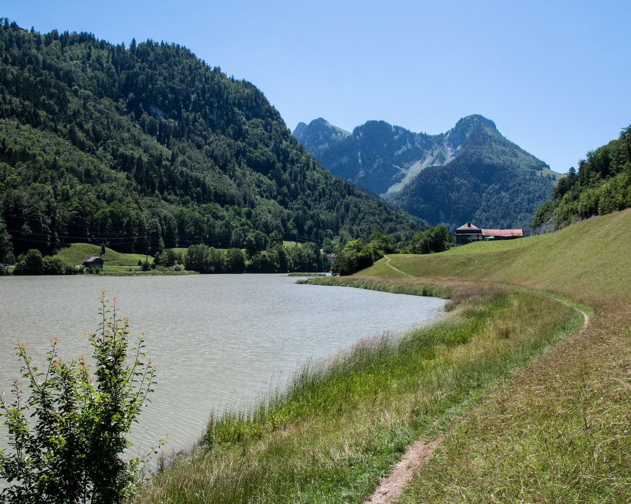
L’Intyamon de Montbovon à la Brâ
BergwanderwegMontbovon · 10 km · 5 h 25 min4.7 km - Parcours des Prés-d'Albeuve
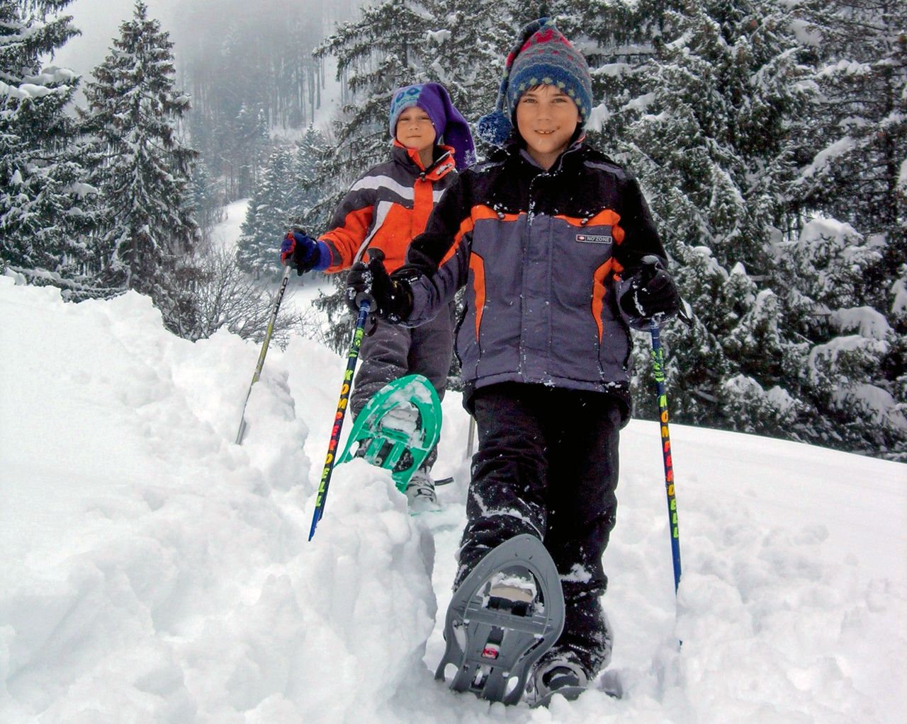

Parcours des Prés-d'Albeuve
Snowshoe routesLes Sciernes-d'Albeuve · 7.0 km · 3 h 55 min4.7 km - Via Alpina, Stage 19/20

Via Alpina, Stage 19/20
BergwanderwegRossinière → Rochers de Naye · 18 km · 9 h 59 min10.4 km - Le Grand Tour des Vanils
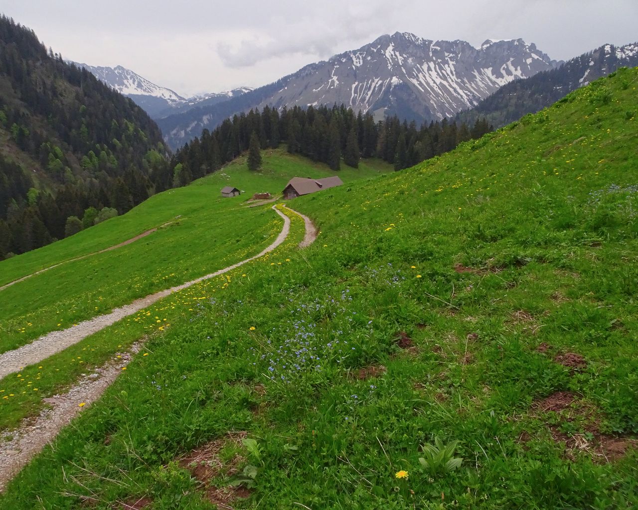
Le Grand Tour des Vanils
BergwanderwegRossinière → Allières · 13 km · 5 h 46 min10.4 km - Parcours Les Moulins–Les Monts-Chevreuils
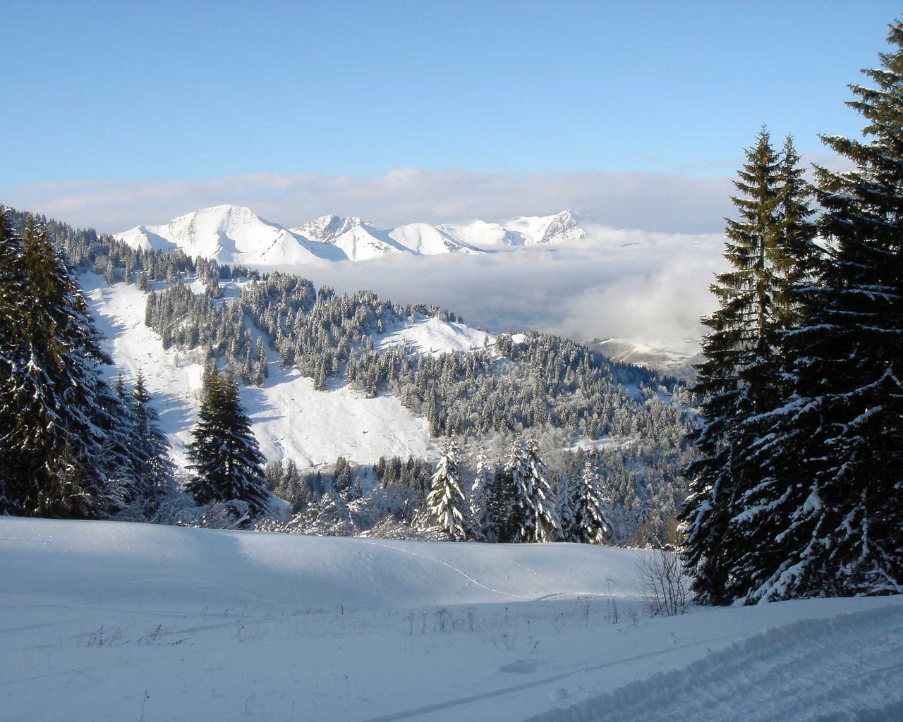
Parcours Les Moulins–Les Monts-Chevreuils
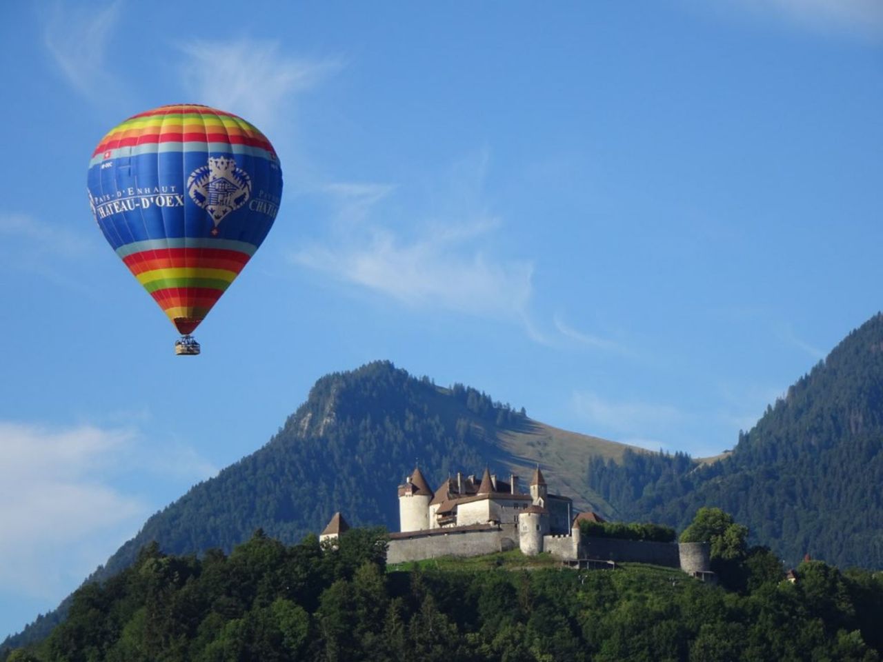
Snowshoe routesLes Moulins · 6.0 km · 6 h 15 min12.7 km - Hot Air Balloon Flight from Château-d'Oex
 1/10
Hot Air Balloon Flight from Château-d'Oex
Château-d'Oex14.7 kmper person
from $496
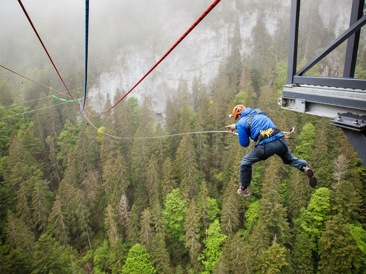
- Canyon Swing over the Pissot Gorge in Château-d'Oex
 1/7
Canyon Swing over the Pissot Gorge in Château-d'Oex
5.0(3)Château-d'Oex14.8 kmper person
from $121
- Alpine Bike, Stage 16/16
Alpine Bike, Stage 16/16
Mountain bike routesChâteau-d'Oex → Leysin · 39 km15.2 km - "Chocolate-making pleasure for everyone" Workshop Maison Cailler
 1/11
"Chocolate-making pleasure for everyone" Workshop Maison Cailler
5.0(7)Broc20.6 kmper person
from $58