Snowshoe routes
Parcours du Mont Châteleu
- Hard
- NE
- Distance
- 9 km
- Duration
- 4 h 15 min
- Elevation Gain
- 380 m
- Elevation Loss
- 380 m
- Highest point
- 1,300 m
Elevation profile
Point at a spot with your mouse
About this route
Sie ist (hoffentlich) nur in sportlicher Hinsicht grenzüberschreitend: die anspruchsvolle Schneeschuh-Wanderung vom «Sibirien der Schweiz» bis nach Frankreich. Ab La Brévine steigt die Strecke über verschneite Weiden, durch abgeschiedene Tannenwälder und für den Fernblick hinauf zum Mont Châteleu.
Map
Getting there and tickets
- Public transit at startLa Brévine, posteBus · 1 min walk to the trail
- Public transit at endLa Brévine, posteBus · 1 min walk to the trail
Sat, Oct 241 adult
Your hiking plan
from Zürich HB
The day
Pricing the ticket …
Zürich HB
La Brévine, poste
End of the route
Zürich HB
Popular activities
- Neuchâtel Bike, Stage 3/4
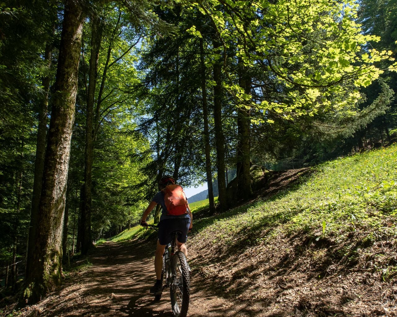
Neuchâtel Bike, Stage 3/4
Mountain bike routesLa Brévine → Couvet · 44 km0.1 km - Neuchâtel Bike, Stage 4/4
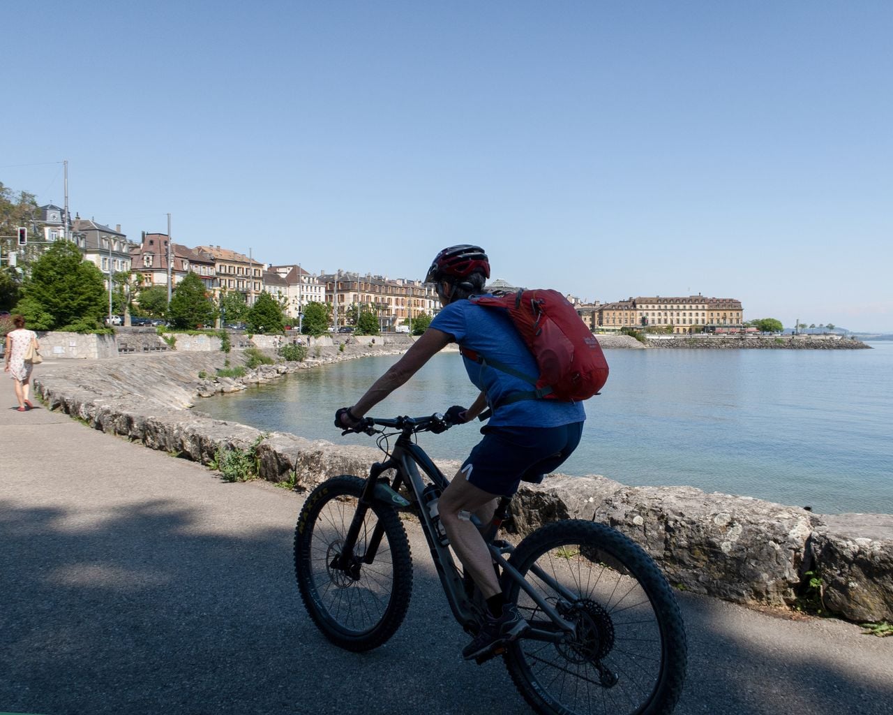
Neuchâtel Bike, Stage 4/4
Mountain bike routesCouvet → Neuchâtel · 55 km10.8 km - "Beat the bride" in Neuchâtel: action-packed hen party
 1/7
"Beat the bride" in Neuchâtel: action-packed hen party
Neuchâtel39.1 kmper person
from $381
- "The Original" History of Murten City Tour
 1/10
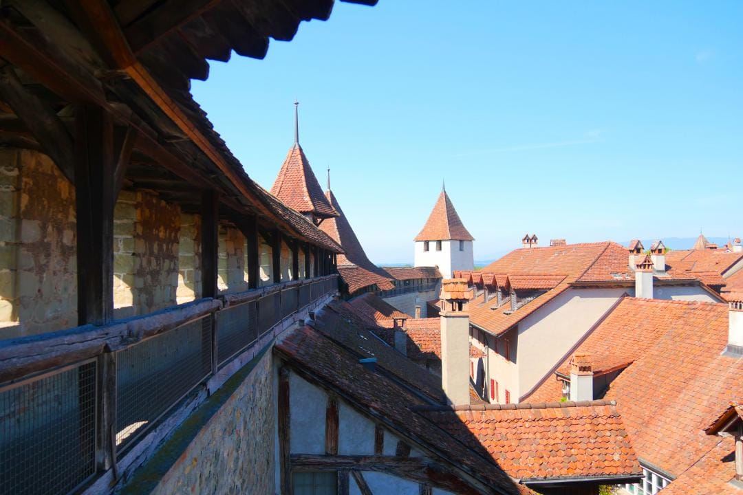
"The Original" History of Murten City Tour
4.9(10)Murtenper person
from $20
- "Find-the-Code: Return of the Fighting Times" Outdoor Escape Game Murten
 1/5
"Find-the-Code: Return of the Fighting Times" Outdoor Escape Game Murten
4.0(1)Murtenper person
from $11