


Snowshoe routes
Obergurnigel Trail
- Hard
- BE
- Distance
- 7 km
- Duration
- 3 h 16 min
- Elevation Gain
- 120 m
- Elevation Loss
- 560 m
- Highest point
- 1,594 m

Still have questions? Ask Alpi.
Alpi helps you with tours, weather, and everything else that matters.
Elevation profile
Point at a spot with your mouse
About this route
Der aussichtsreiche Trail verbindet den Gurnigelpass mit dem historischen Gurnigelbad. Die Gratwanderung auf den Obere Gurnigel bietet herrliche Fernsichten Richtung Berner Oberland, Mittelland und zurück auf die Gantrischkette.
Map
Getting there and tickets
- Public transit at startGurnigel, BerghausBus · 1 min walk to the trail
- Public transit at endGurnigel, BadBus · 1 min walk to the trail
Sat, Nov 71 adult
Your hiking plan
from Zürich HB
The day
Pricing the ticket …
Zürich HB
Gurnigel, Bad
End of the route
Zürich HB
Nearby in winter
- Selibüel-Winterwanderweg


Selibüel-Winterwanderweg
Winter hiking routesGurnigel Berghaus · 3.0 km · 1 h 17 min0 km - Selibühl-Panoramatrail
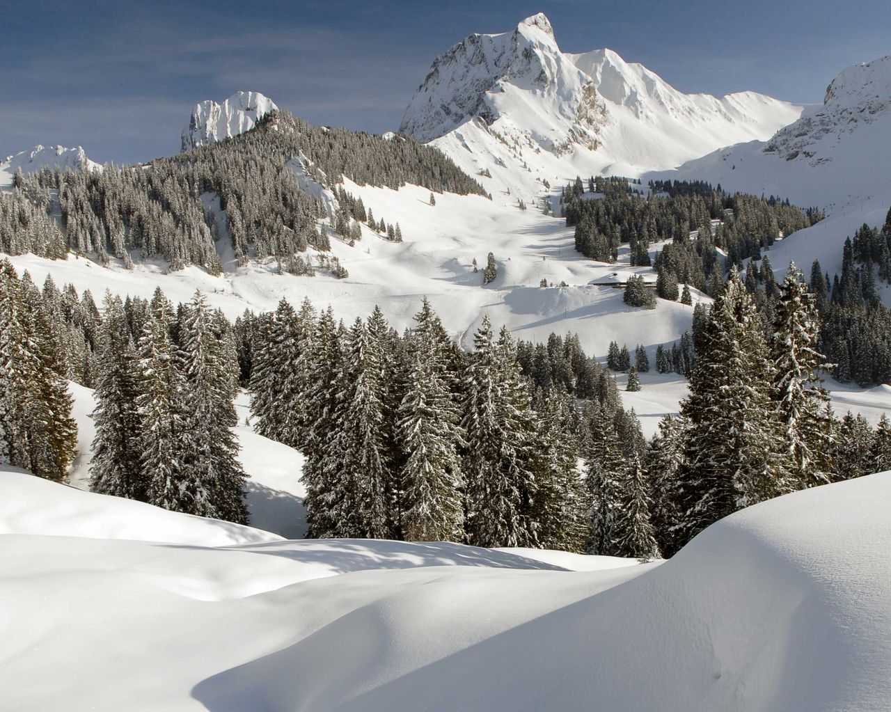

Selibühl-Panoramatrail
Snowshoe routesGurnigel, Stierenhütte · 4.0 km · 1 h 58 min0.5 km - Sculpture exhibition wood / concrete

Sculpture exhibition wood / concrete
10:00ExhibitionKrea4413.3 km - "Eerie Doings": public city tour
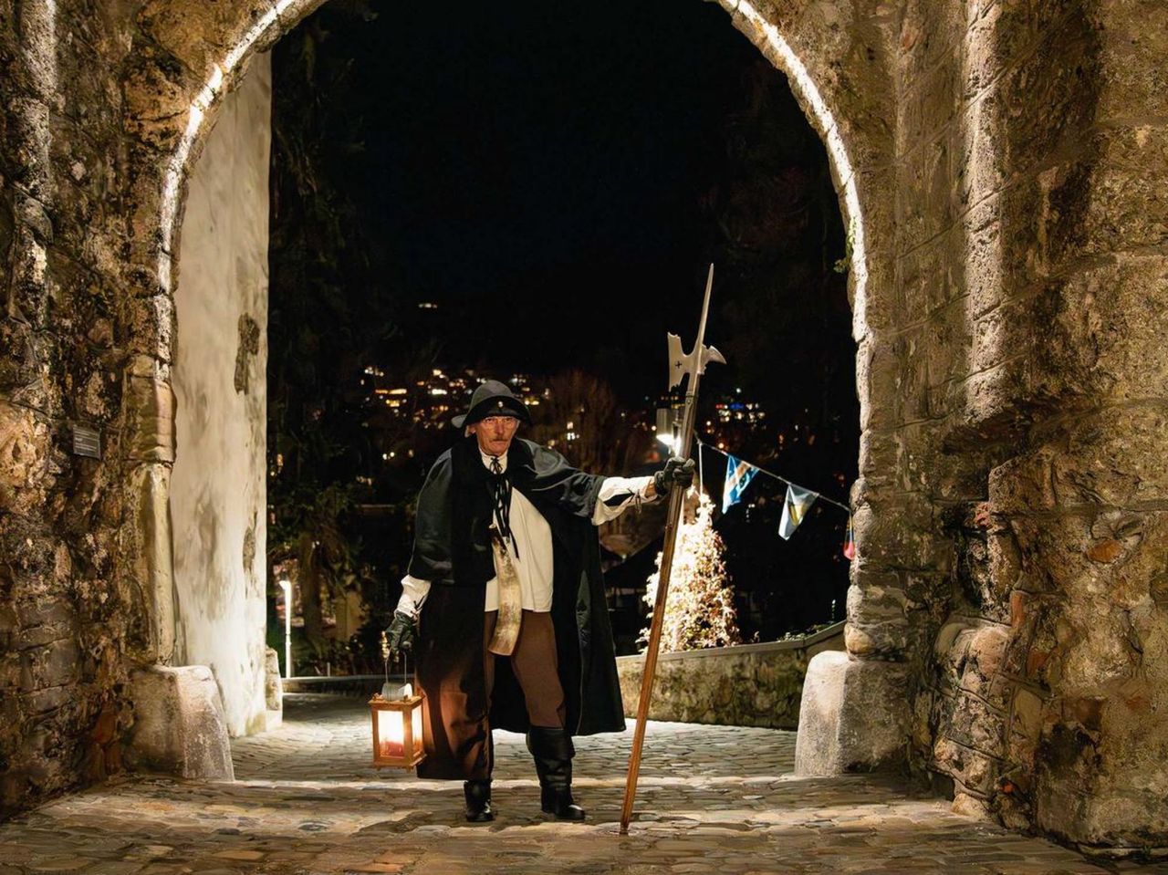 1/7
"Eerie Doings": public city tour
5.0(12)Thun18.6 kmper person
from $32
- Rundweg Heiligenschwendi

Rundweg Heiligenschwendi
Winter hiking routesHeiligenschwendi, Alpenblick · 9.0 km · 2 h 53 min25.9 km - Afternoon Wellness with Massage in Spiez
 1/4
Afternoon Wellness with Massage in Spiez
Spiez28.9 kmper person
from $245
- Rundweg Aeschi–Aeschiried

Rundweg Aeschi–Aeschiried
Winter hiking routesAeschi BE · 6.0 km · 2 h 2 min33.8 km - Schynige Platte Helicopter Skydive
 1/9
Schynige Platte Helicopter Skydive
5.0(21)Interlakenper person
from $624


