


Snowshoe routes
Corvatsch Lake Trail
- Moderate
- GR
- Distance
- 4 km
- Duration
- 2 h 27 min
- Elevation Gain
- 260 m
- Elevation Loss
- 260 m
- Highest point
- 2,497 m

Still have questions? Ask Alpi.
Alpi helps you with tours, weather, and everything else that matters.
Elevation profile
Point at a spot with your mouse
About this route
Mit Schneeschuhen hoch über der Engadiner Seenlandschaft durch die unberührte Bergwelt stapfen: Das erlebt man nur am Corvatsch. Eindrücklich ist die Aussicht auf die gefrorenen Seen und die Zinnen des Corvatsch-Massivs. Etwa in der Hälfte bietet die Ustaria Rabgiusa eine optimale Verpflegungsmöglichkeit.
Map
Getting there and tickets
- Public transit at startFurtschellas MittelstationCable car · 1 min walk to the trail
- Public transit at endFurtschellas MittelstationCable car · 1 min walk to the trail
Sat, Nov 211 adult
Your hiking plan
from Zürich HB
The day
Pricing the ticket …
Zürich HB
Furtschellas Mittelstation
End of the route
Zürich HB
Nearby in winter
- Engadin-Skimarathon-Loipe
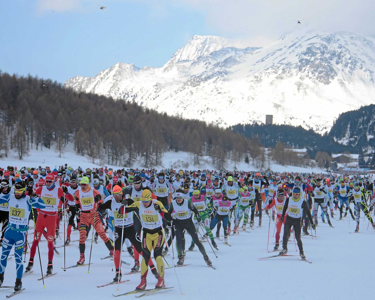

Engadin-Skimarathon-Loipe
Cross-Country SkiingMaloja → S-chanf, Schiessplatz · 44 km11 km - Private Ski Lessons (5+ y.), afternoons
 1/7
Private Ski Lessons (5+ y.), afternoons
5.0(1)St. Moritz12.7 kmper group
from $311
- St. Moritz-Maloja-Seenweg

St. Moritz-Maloja-Seenweg
Winter hiking routesSt. Moritz Bad, Signalbahn → Maloja · 17 km · 4 h 32 min12.9 km - Private Ski Lessons for All Levels
 1/5
Private Ski Lessons for All Levels
St. Moritz13.6 kmper group
from $436
- Bernina railway ticket route
 1/10
Bernina railway ticket route
4.5(48)St. Moritz14.9 kmper person
from $42
- Glacier Express Ticket from St. Moritz or Zermatt (without reservation)

Glacier Express Ticket from St. Moritz or Zermatt (without reservation)
5.0(2)St. Moritz14.9 kmper person
from $198


