Snowshoe routes
Alp Zeznina Trail
- Hard
- GR
- Distance
- 8 km
- Duration
- 4 h 21 min
- Elevation Gain
- 440 m
- Elevation Loss
- 440 m
- Highest point
- 1,814 m
Elevation profile
Point at a spot with your mouse
About this route
Schneeschuhtour mit Start in Lavin, direkt am Fluss Inn. Durch die Engadiner Wälder steigt der Trail hoch, ins Seitental und über den Bach Aua da Zeznina. Das Zwischenziel vor der Rückkehr ins Tal ist die idyllisch gelegene Alp Zeznina.
Map
Getting there and tickets
- Public transit at startLavin, Plazza GrondaBus · 10 min walk to the trail
- Public transit at endLavin, Plazza GrondaBus · 10 min walk to the trail
Sat, Oct 241 adult
Your hiking plan
from Zürich HB
The day
Pricing the ticket …
Zürich HB
Lavin, Plazza Gronda
End of the route
Zürich HB
Popular activities
- Cinema Staziun Lavin - SHAUN DAS SCHAF - Spuk im Kürbisfeld

Cinema Staziun Lavin - SHAUN DAS SCHAF - Spuk im Kürbisfeld
EventLavin0.7 km - Cinema Staziun Lavin - ARNIE UND BARNEY - retten das Wasser
Cinema Staziun Lavin - ARNIE UND BARNEY - retten das Wasser
EventLavin0.7 km - Annual Meeting of the Mountaineering Villages
Annual Meeting of the Mountaineering Villages
EventLavin1.2 km - Surpunt-Winterwanderweg
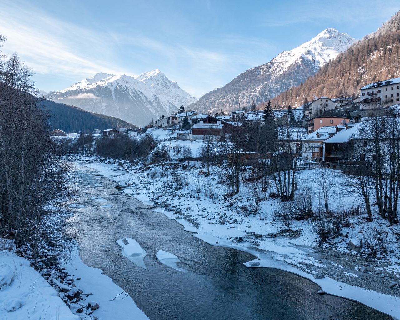
Surpunt-Winterwanderweg
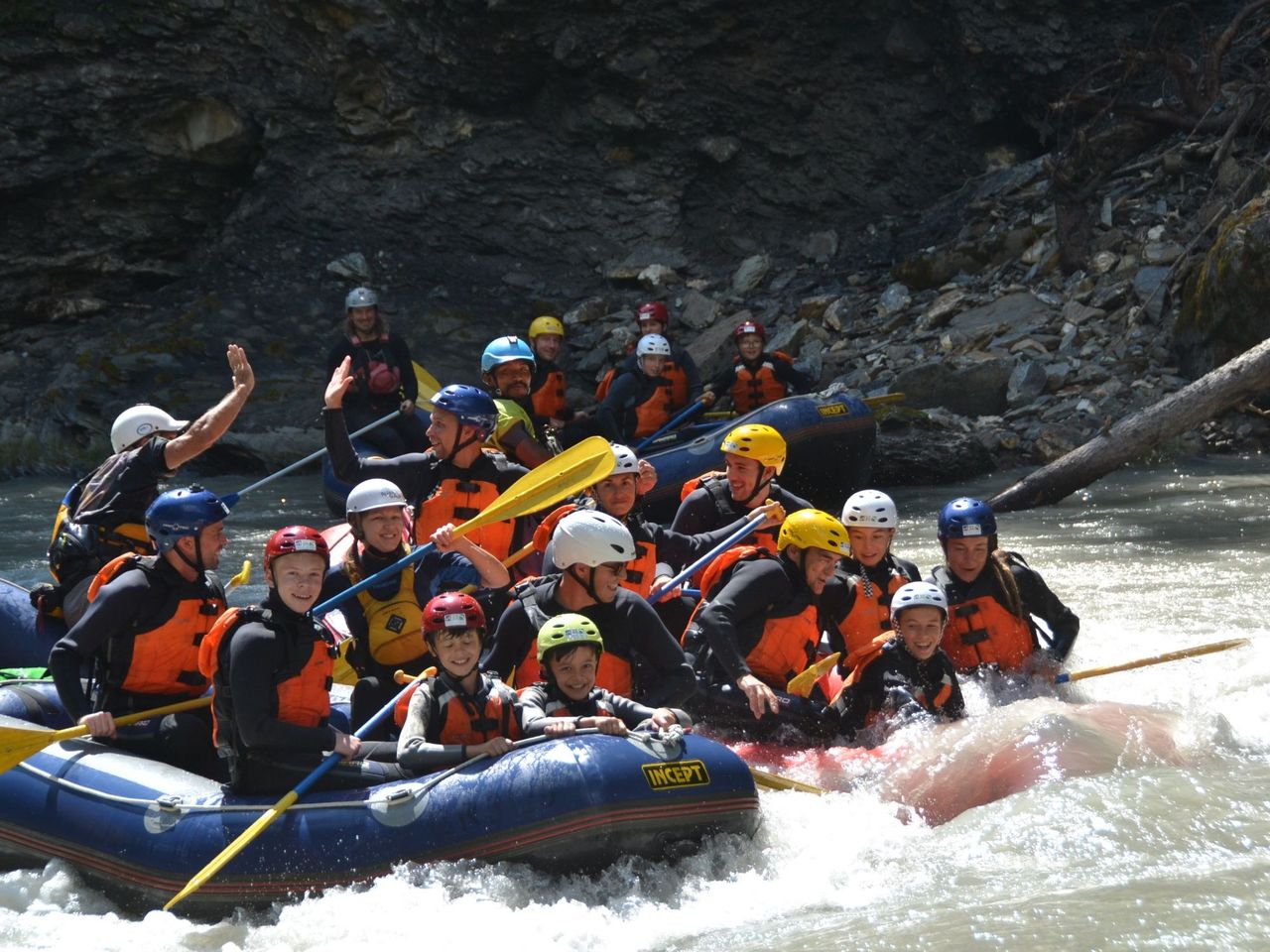
Winter hiking routesSusch, Surpunt → Lavin, Plans · 4.0 km · 1 h 25 min3.3 km - Whitewater rafting Giarsun Gorge on the Inn for advanced rafters
 1/6
Whitewater rafting Giarsun Gorge on the Inn for advanced rafters
5.0(3)Scuol16.2 kmper person
from $186
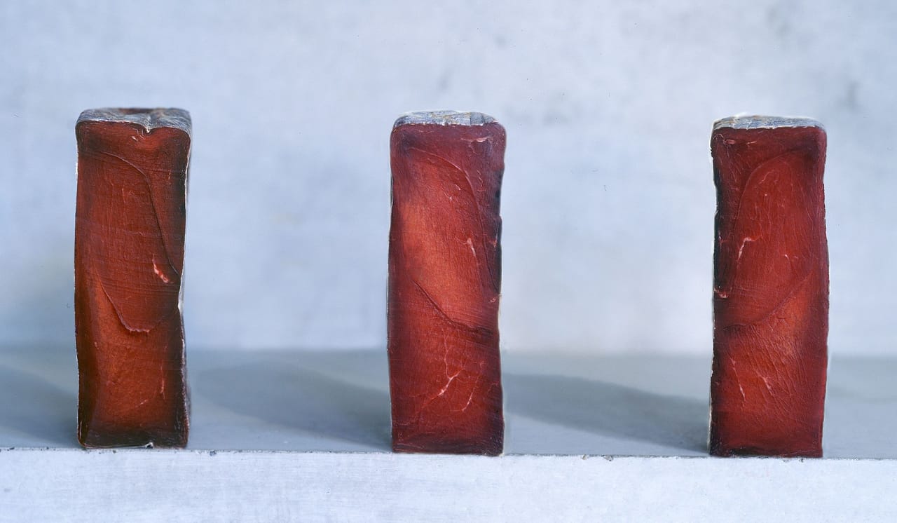
- Guided tour alpine dried meat craft incl. tasting
 1/5
Guided tour alpine dried meat craft incl. tasting
4.7(3)Scuol17 kmper person
from $20