


Cross-Country Skiing
Vättis-Loipe
- Hard
- SG
- Distance
- 10 km
- Elevation Gain
- 240 m
- Elevation Loss
- 240 m
- Highest point
- 1,103 m

Still have questions? Ask Alpi.
Alpi helps you with tours, weather, and everything else that matters.
Elevation profile
Point at a spot with your mouse
About this route
Die Zivilisation hinter sich lassen und die unberührte Natur im Taminatal erleben: Am Fuss des Calanda folgt diese Loipe dem Gördbach durch das schmale Tal Richtung Kunkelpass.
Map
Getting there and tickets
- Public transit at startVättis, DorfBus · 8 min walk to the trail
- Public transit at endVättis, DorfBus · 8 min walk to the trail
Nearby in winter
- St.-Margrethenberg-Loipe
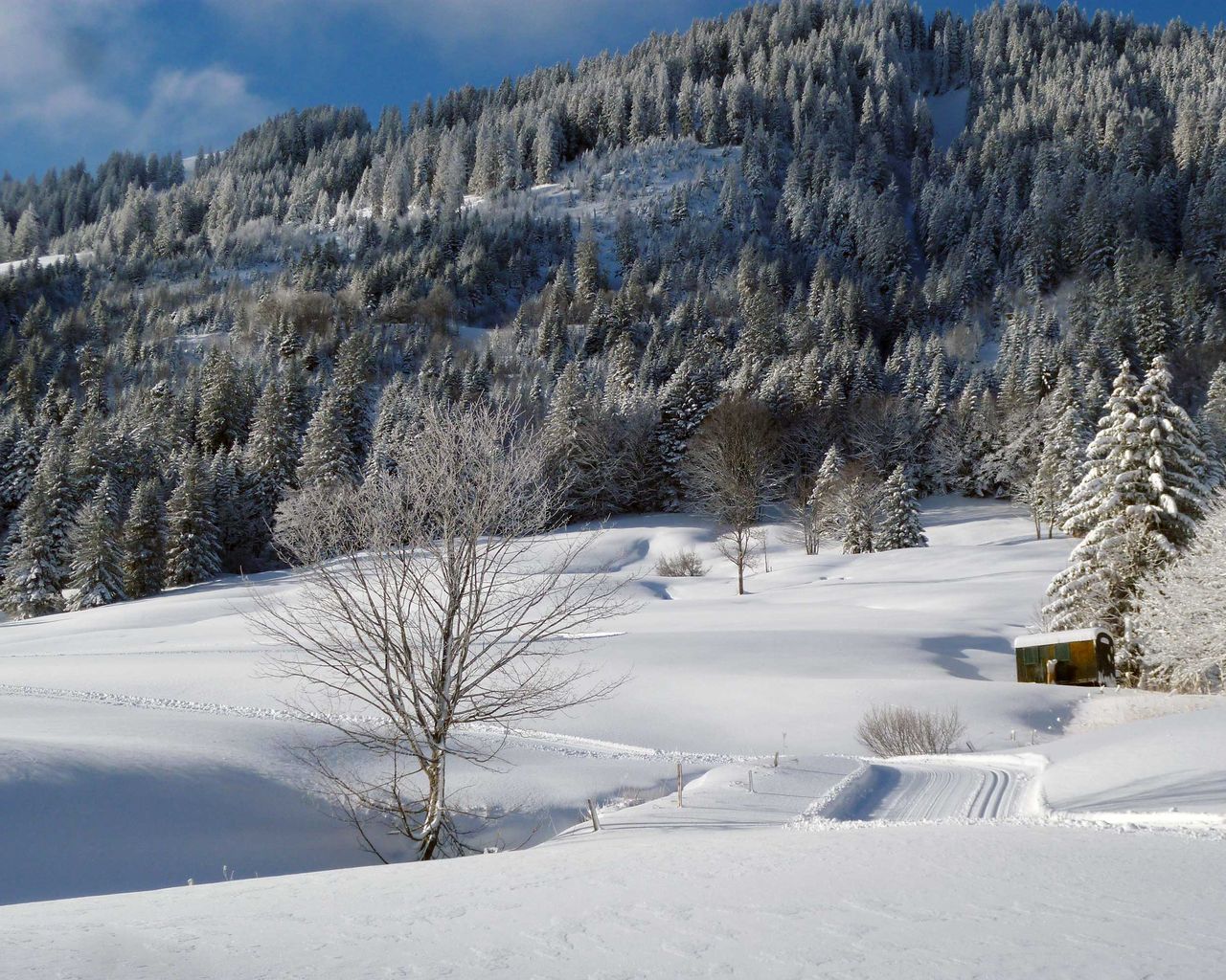
St.-Margrethenberg-Loipe
Cross-Country SkiingSt. Margrethenberg · 10 km11.8 km - Carriage ride with fondue Heidiland Bündner Herrschaft
 1/10
Carriage ride with fondue Heidiland Bündner Herrschaft
4.7(7)Maienfeld15.7 kmper person
from $423
- Wine and cooking tour for groups
 1/8
Wine and cooking tour for groups
Maienfeld15.9 kmper person
from $309


