Cross-Country Skiing
Urserntal-Loipe
- Hard
- UR
- Distance
- 18 km
- Elevation Gain
- 340 m
- Elevation Loss
- 340 m
- Highest point
- 1,550 m

Still have questions? Ask Alpi.
Alpi helps you with tours, weather, and everything else that matters.
Elevation profile
Point at a spot with your mouse
About this route
Durchs Urserntal gleiten, immer der rauschenden Reuss entlang: Die Runde durch das imposante Hochtal führt vorbei am heimatgeschützten Hospental und dem kleinsten Dorf der Schweiz.
Map
Getting there and tickets
- Public transit at startAndermatt, The Nordic HouseBus · 1 min walk to the trail
- Public transit at endAndermatt, The Nordic HouseBus · 1 min walk to the trail
Nearby in winter
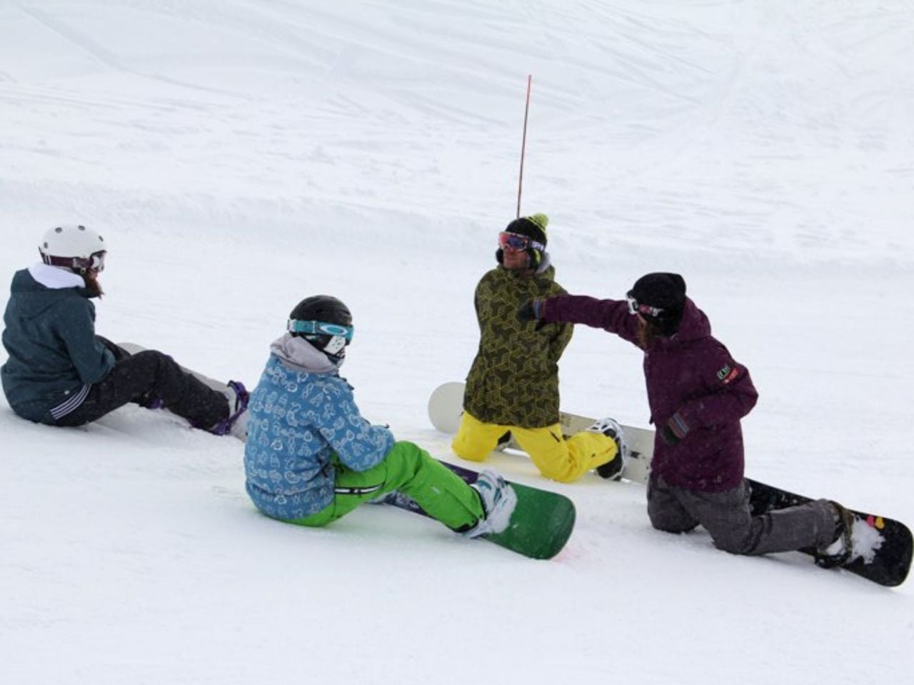
- Private Snowboard Lessons for All Levels
 1/6
Private Snowboard Lessons for All Levels
Andermatt1.1 kmper group
from $293
- Private Ski Lessons for All Levels
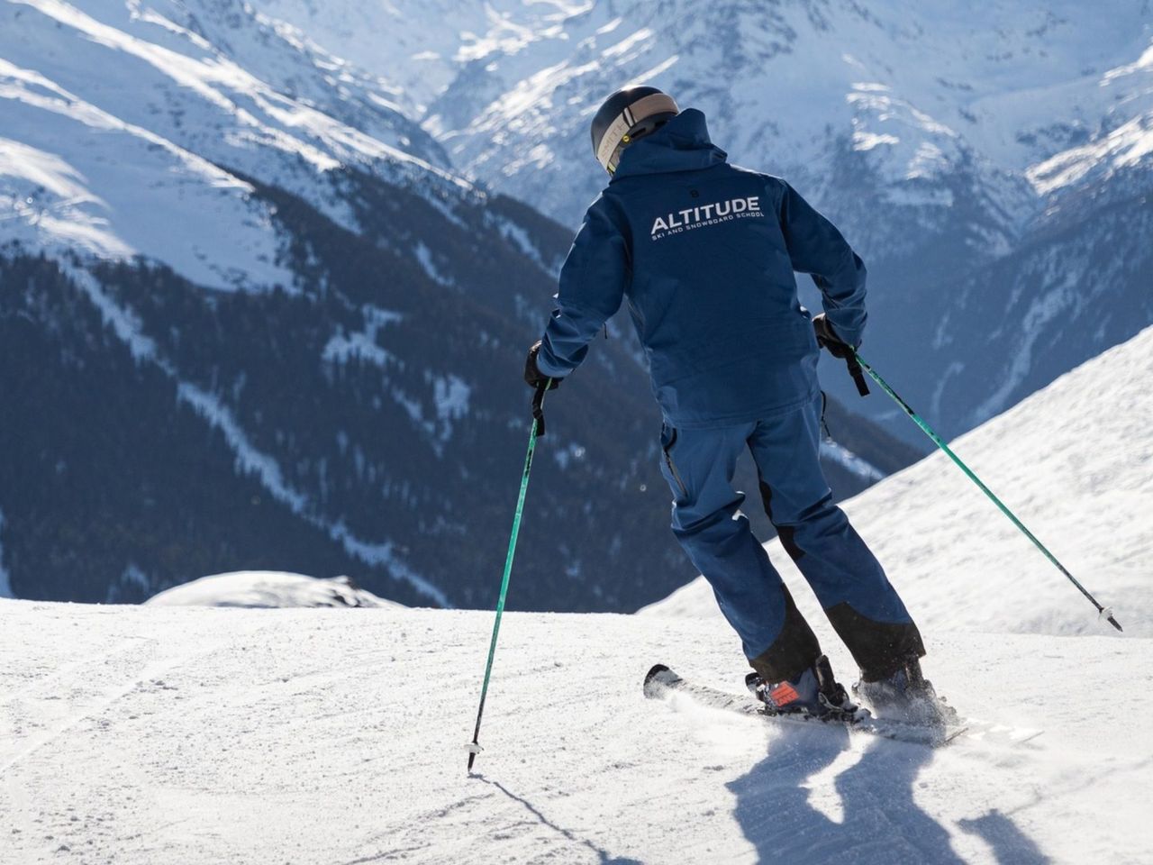 1/9
Private Ski Lessons for All Levels
Andermatt1.1 kmper group
from $293
- 18. Hobby-, Kunst- und Handwerksausstellung in Andermatt
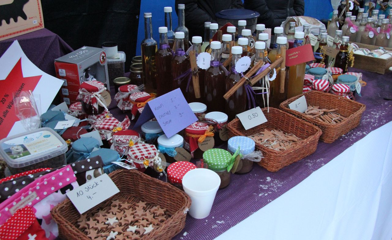
18. Hobby-, Kunst- und Handwerksausstellung in Andermatt
10:00ExhibitionVBS Mehrzweckhalle AndermattKostenloser Eintritt, die Feldmusik Andermatt dankt für einen Beitrag an der Kollekte1.2 km - Private Ski Lessons for All Levels, full day
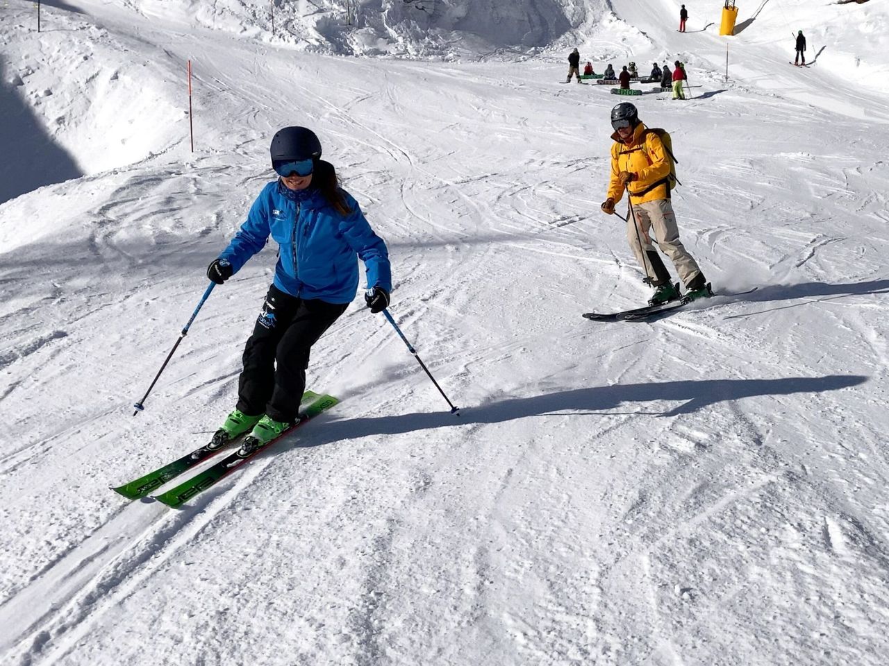 1/3
Private Ski Lessons for All Levels, full day
Andermatt1.2 kmper person
from $807
- Private Ski Lessons for All Levels, Full Day, Premium
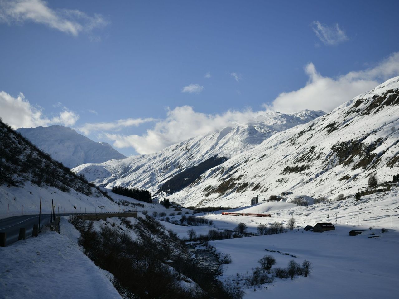 1/6
Private Ski Lessons for All Levels, Full Day, Premium
Andermatt1.3 kmper group
from $572
- Schneeschuhtrail Göschenen
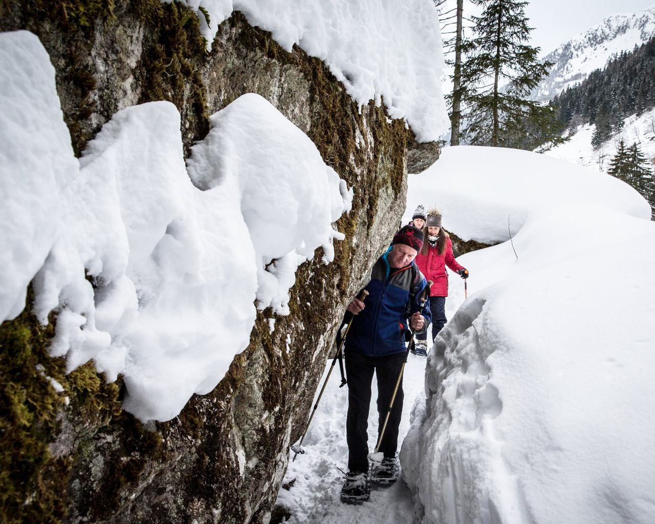

Schneeschuhtrail Göschenen
Snowshoe routesGöschenen, Kraftwerk · 3.0 km · 1 h 26 min6.5 km