Cross-Country Skiing
Piste du Mont-Racine
- Hard
- NE
- Distance
- 20 km
- Elevation Gain
- 480 m
- Elevation Loss
- 480 m
- Highest point
- 1,389 m
Elevation profile
Point at a spot with your mouse
About this route
Als Belohnung für Ihre Leistung erwartet Sie nach dem siebten Kilometer auf der Loipe des Mont Racine ein einmaliger Blick auf die Alpen. Bei schönem Wetter wähnen Sie sich in einem wahren Winterparadies.
Map
Getting there and tickets
- Public transit at startVue-des-AlpesBus · 6 min walk to the trail
- Public transit at endVue-des-AlpesBus · 6 min walk to the trail
Popular activities
- Chemin La Vue des Alpes–Tête de Ran
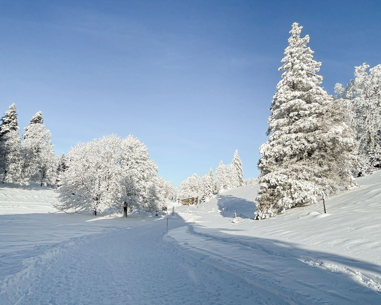

Chemin La Vue des Alpes–Tête de Ran
Winter hiking routesLa Vue des Alpes · 7.0 km · 2 h 20 min0.4 km - Parcours du Mont-d'Amin
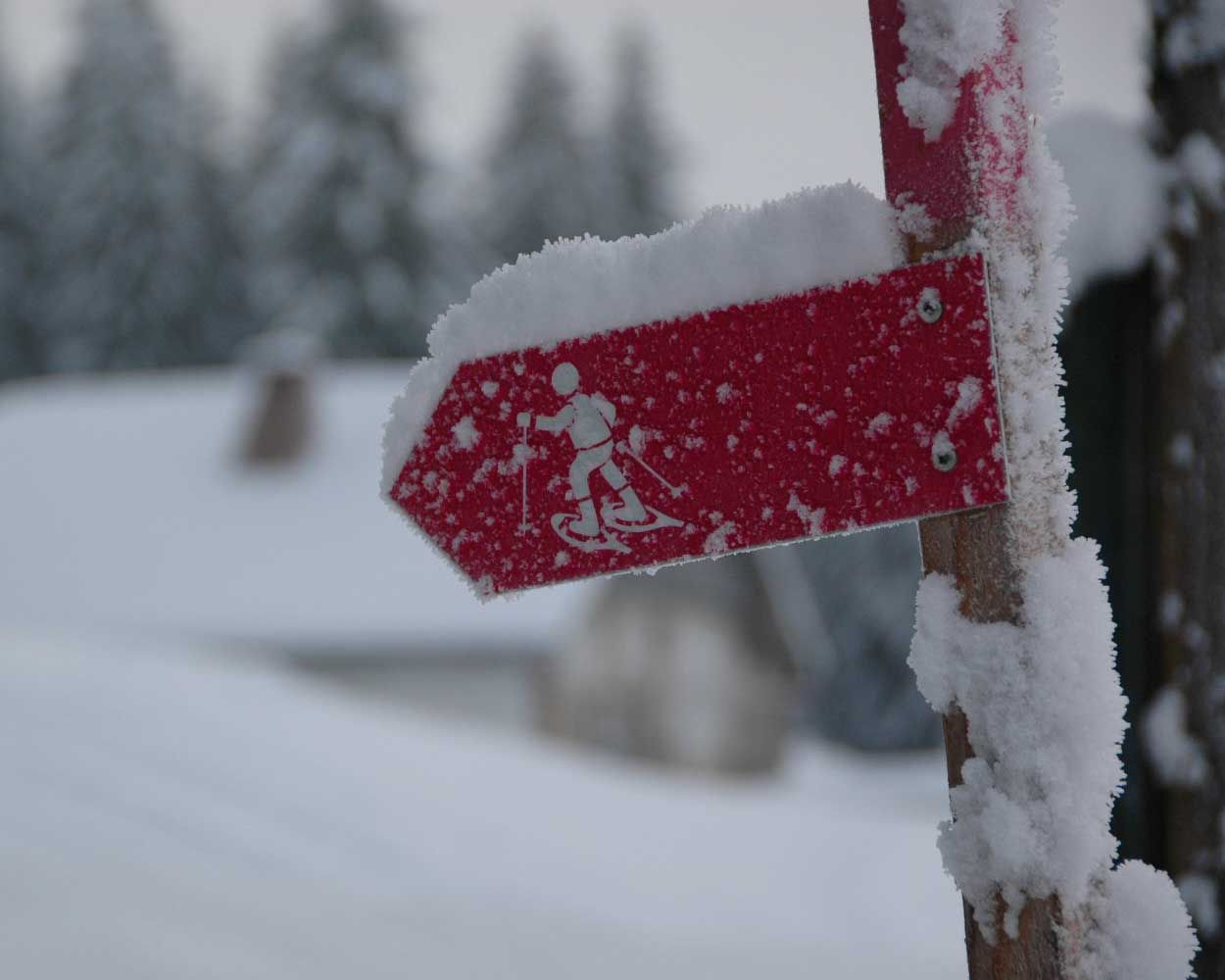

Parcours du Mont-d'Amin
Snowshoe routesLa Vue des Alpes · 7.0 km · 3 h 6 min0.4 km - Jura Crest Trail, Stage 9/16
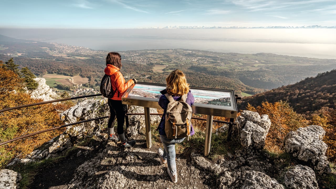

Jura Crest Trail, Stage 9/16
BergwanderwegVue des Alpes → Noiraigue · 22 km · 8 h 25 min0.5 km - Sentier des Statues

Sentier des Statues
WanderwegLes Hauts Geneveys → La Sagne · 12 km · 4 h 58 min5.1 km - "Beat the bride" in Neuchâtel: action-packed hen party
 1/7
"Beat the bride" in Neuchâtel: action-packed hen party
Neuchâtel15 kmper person
from $381
- "The Original" History of Murten City Tour
 1/10
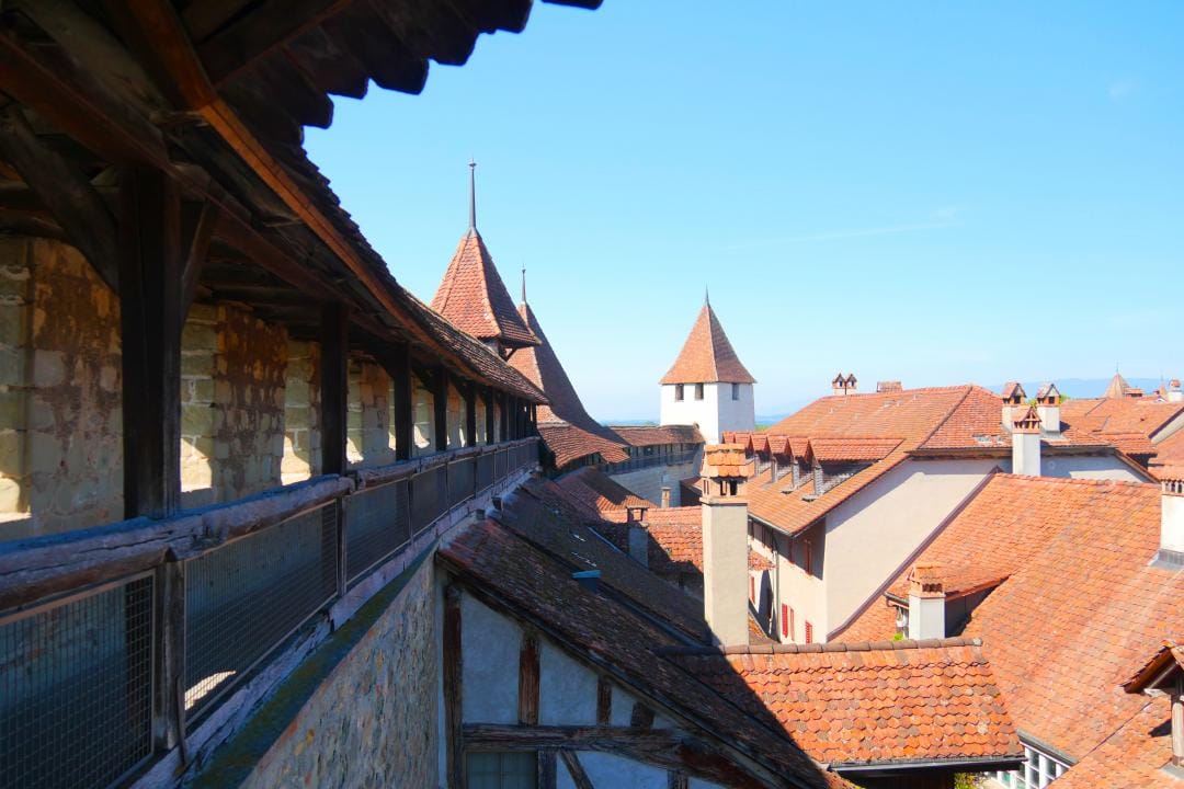
"The Original" History of Murten City Tour
4.9(10)Murten42.6 kmper person
from $20
- "Find-the-Code: Return of the Fighting Times" Outdoor Escape Game Murten
 1/5
"Find-the-Code: Return of the Fighting Times" Outdoor Escape Game Murten
4.0(1)Murten42.6 kmper person
from $11