Cross-Country Skiing
Pista Pian Doss
- Moderate
- GR
- Distance
- 3 km
- Elevation Gain
- 140 m
- Elevation Loss
- 140 m
- Highest point
- 1,731 m

Still have questions? Ask Alpi.
Alpi helps you with tours, weather, and everything else that matters.
Elevation profile
Point at a spot with your mouse
About this route
Es ist ein unscheinbarer Bündner Flecken an der Gotthard-Ausweichroute. Zumindest auf den ersten Blick: Denn rund um das Dorf San Bernardino finden Langläufer ein ideales Gelände – und eine attraktive, alpine Naturlandschaft. Die anspruchsvolle Loipe führt über die Alp de Pian Doss und zum Hochmoorsee Lago Dosso.
Map
Getting there and tickets
- Public transit at startS. Bernardino, Bivio FornasBus · 1 min walk to the trail
- Public transit at endS. Bernardino, Bivio FornasBus · 1 min walk to the trail
Nearby in winter
- Percorso Furestin
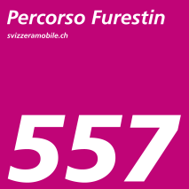
Percorso Furestin
Snowshoe routesSan Bernardino, Parcheggio Du Lac · 4.0 km · 2 h 11 min0.9 km - Percorso Passo San Bernardino
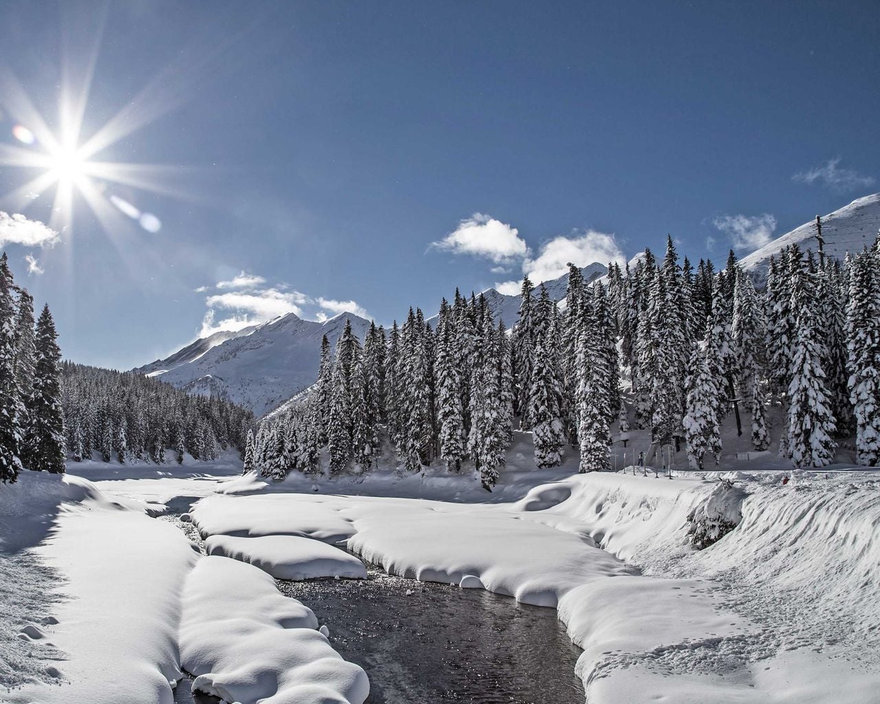

Percorso Passo San Bernardino
Snowshoe routesSan Bernardino · 10 km · 5 h 30 min1.2 km - "The Omega Codex" Outdoor Escape Game San Bernardino
 1/7
"The Omega Codex" Outdoor Escape Game San Bernardino
5.0(1)San Bernardino1.3 kmper person
from $16
- Pool and slides ticket to Splash and Spa
 1/5
Pool and slides ticket to Splash and Spa
4.9(22)Riveraper person
from $49