Hiking trail
Weg der Schweiz, Stage 2/4
- Mountain hiking trail
- Easy
- UR
- Distance
- 10 km
- Duration
- 2 h 43 min
- Elevation Gain
- 80 m
- Elevation Loss
- 80 m
- Highest point
- 574 m

Still have questions? Ask Alpi.
Alpi helps you with tours, weather, and everything else that matters.
Elevation profile
Point at a spot with your mouse
About this route
Durch kühle Felsgalerien und über lange Holzstege geht es am Seeufer des Urnersees den bewaldeten Steilhang entlang. Mehrere Flussdeltas laden zum Baden ein, immer mit Blick auf das wunderbare Bergpanorama. Im Naturschutzgebiet Reussdelta schaffen Flachmoore, Riedwiesen und Inseln wertvolle Lebensräume.
Map
Getting there and tickets
- Public transit at startBauen (See)Boat · 1 min walk to the trail
- Public transit at endFlüelen, BahnhofBus · 1 min walk to the trail
Sat, Oct 311 adult
Your hiking plan
from Zürich HB
The day
Pricing the ticket …
Zürich HB
Flüelen, Bahnhof
End of the route
Zürich HB
Popular activities
- ViaUrschweiz, Stage 1/2
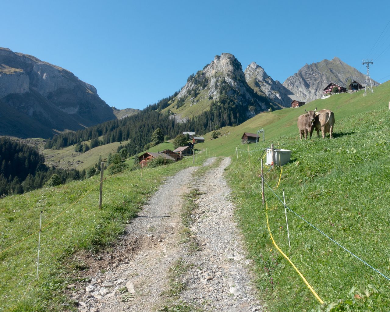
ViaUrschweiz, Stage 1/2
BergwanderwegIsleten → Gitschenen · 12 km · 5 h 59 min2.2 km - North-South Route, Stage 4/8
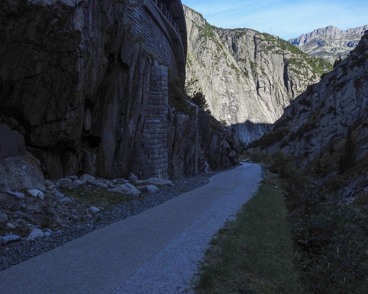
North-South Route, Stage 4/8
Cycling routesFlüelen → Andermatt · 39 km5.1 km - Kayak or Canoe Rental at Lake Lucerne from Brunnen
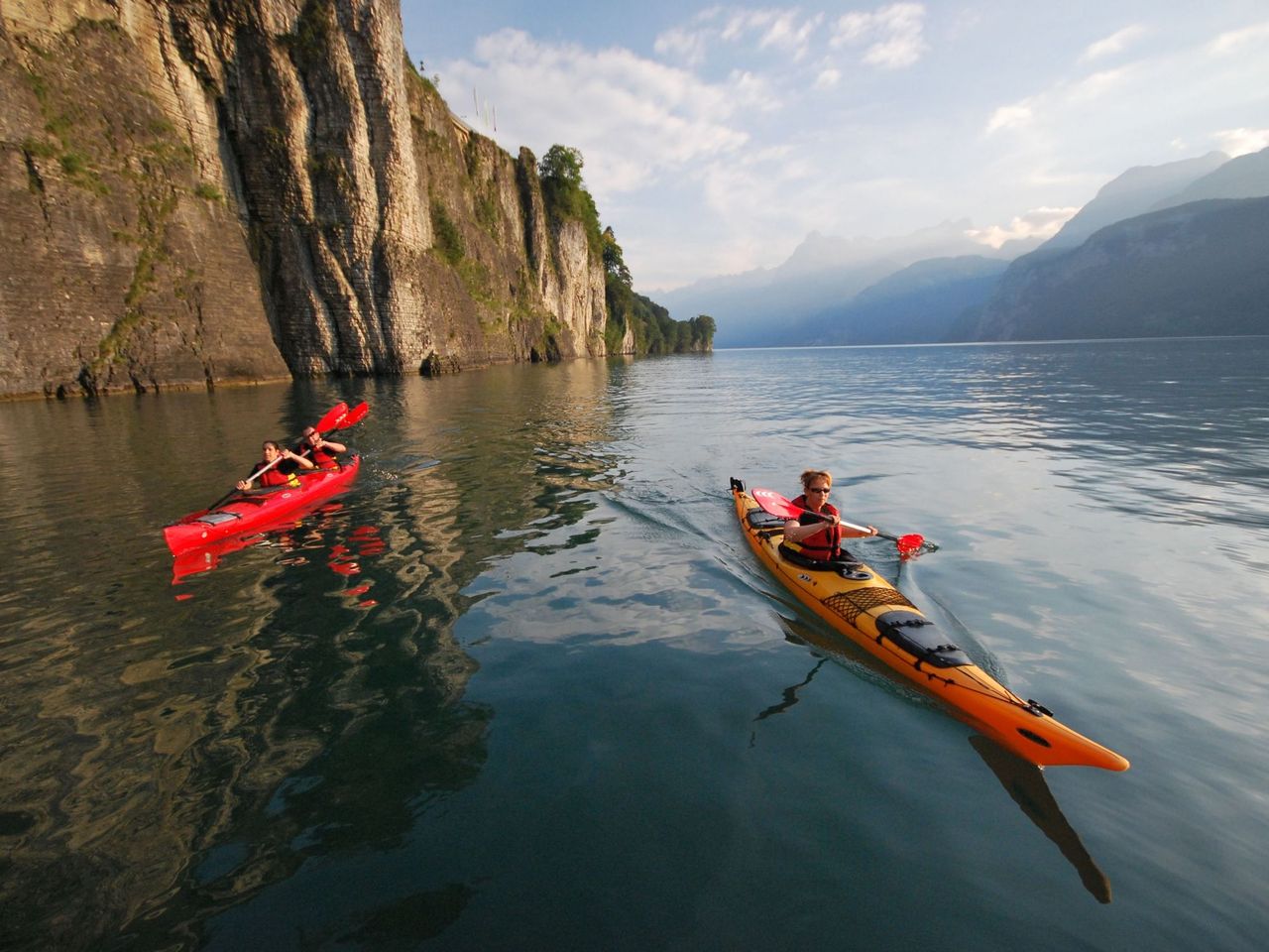 1/7
Kayak or Canoe Rental at Lake Lucerne from Brunnen
Brunnen-Ingenbohl7.9 kmper person
from $84
- "Panorama flight" paragliding Lake Lucerne from Emmetten
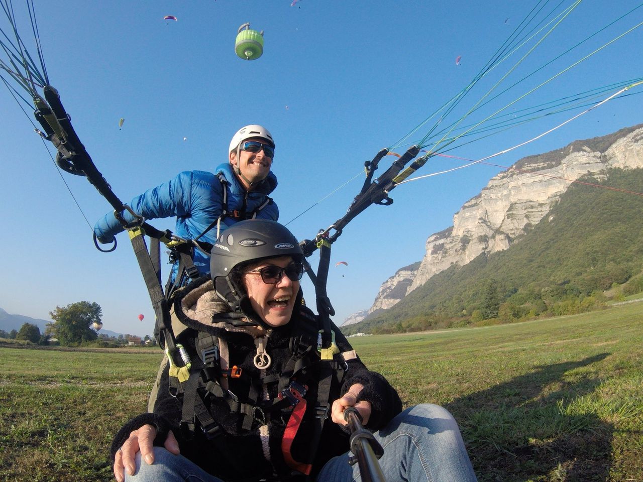 1/8
"Panorama flight" paragliding Lake Lucerne from Emmetten
5.0(2)Emmetten23.1 kmper person
from $255
- Niederbauen Paragliding Tandem at Lake Lucerne
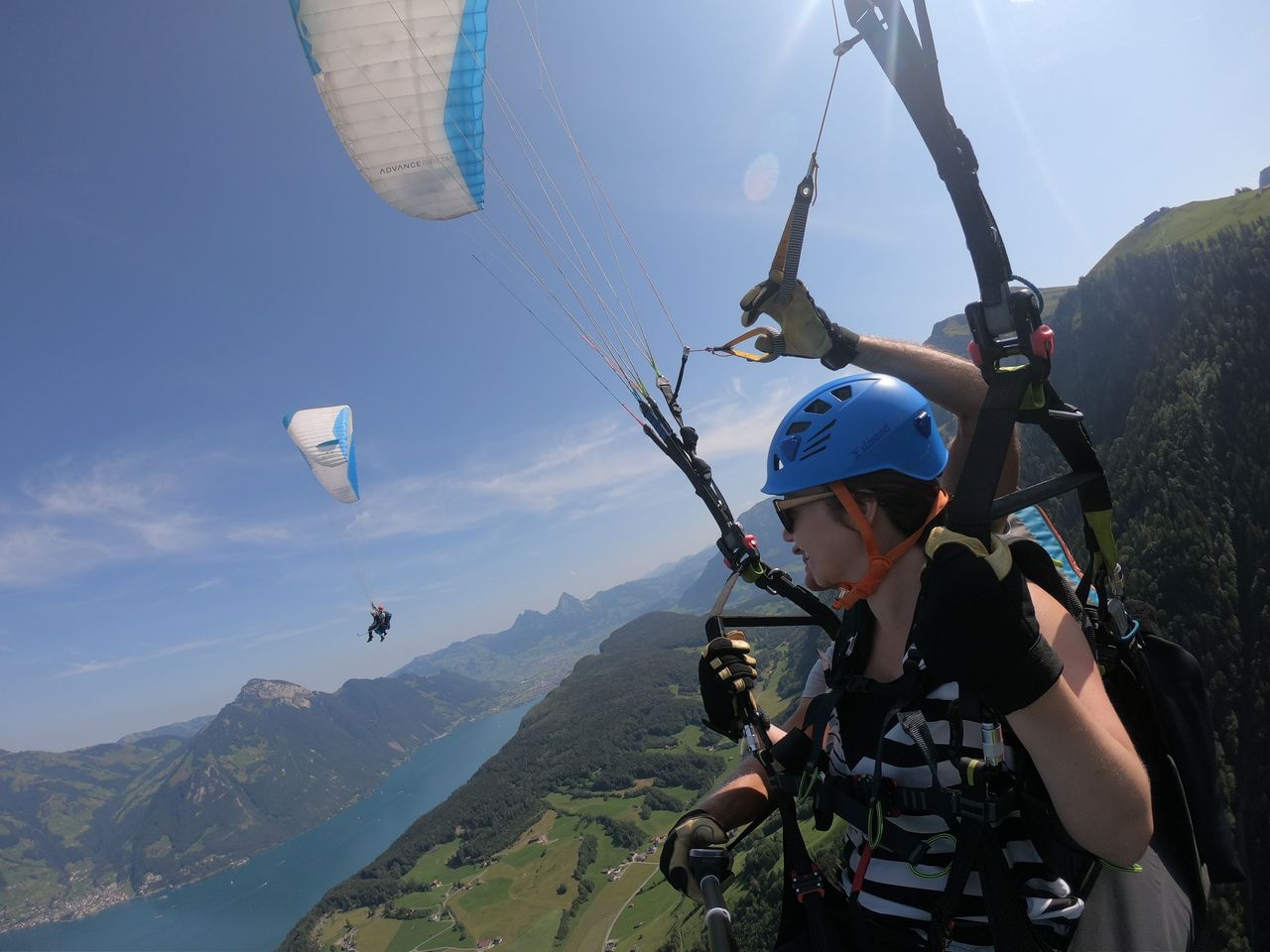 1/6
Niederbauen Paragliding Tandem at Lake Lucerne
4.8(10)Emmetten23.2 kmper person
from $255