Hiking trail
ViaJacobi, Stage 8/33
- Hiking trail
- Hard
- OW
- Distance
- 24 km
- Duration
- 7 h 54 min
- Elevation Gain
- 820 m
- Elevation Loss
- 540 m
- Highest point
- 1,002 m

Still have questions? Ask Alpi.
Alpi helps you with tours, weather, and everything else that matters.
Elevation profile
Point at a spot with your mouse
About this route
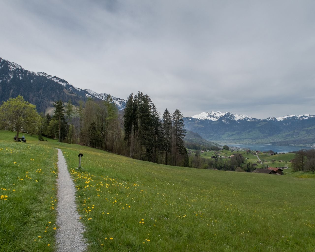
Flüeli bietet eine grossartige Aussicht. Die abwechslungsreiche Route folgt den Ufern des Sarner- und Lungernsees und ab der Kirche Lungern dem Themenweg Archäologie Brünig-Saumweg. Dieser wird seit langer Zeit als Pilgerweg genutzt.
Map
Getting there and tickets
- Public transit at startFlüeli-Ranft, DorfBus · 1 min walk to the trail
- Public transit at endBrünig-HaslibergTrain · 1 min walk to the trail
Sun, Oct 251 adult
Your hiking plan
from Zürich HB
The day
Pricing the ticket …
Zürich HB
Brünig-Hasliberg
End of the route
Zürich HB
Popular activities
- Trans Swiss Trail, Stage 18/32
Trans Swiss Trail, Stage 18/32
WanderwegFlüeli-Ranft → Stans · 17 km · 5 h 54 min0 km - Calling Our Pieces Home — Winter Solstice Women’s Pilgrimage

Calling Our Pieces Home — Winter Solstice Women’s Pilgrimage
EventSachseln0.1 km - Dorothee Wyss - the story of an extraordinary woman
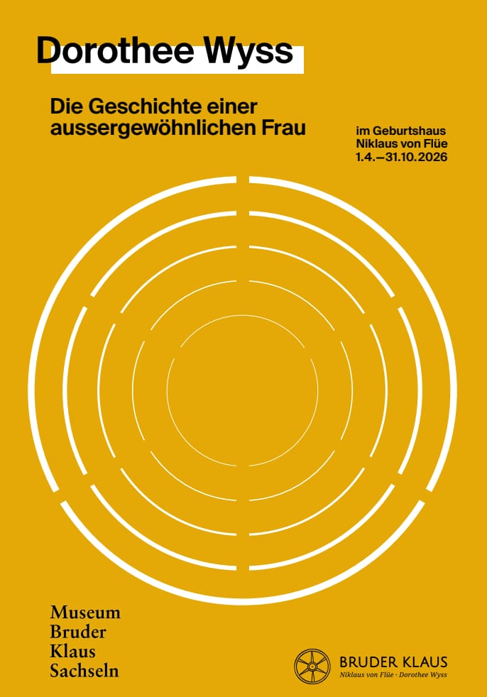
Dorothee Wyss - the story of an extraordinary woman
10:00ExhibitionGeburtshaus Niklaus von Flüe - Bruder KlausFreier Eintritt0.2 km - Ticket for the Adventure World "Niklaus and Dorothee Flüe" at Lumeum
 1/11
Ticket for the Adventure World "Niklaus and Dorothee Flüe" at Lumeum
5.0(5)Kerns2.4 kmper person
from $36
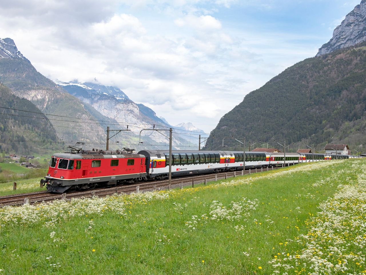
- Gotthard Panorama Express Ticket
 1/2
Gotthard Panorama Express Ticket
4.8(20)Lucerne26.8 kmper person
from $225