


Hiking trail
Trans Swiss Trail, Stage 12/32
- Hiking trail
- Moderate
- BE
- Distance
- 14 km
- Duration
- 3 h 49 min
- Elevation Gain
- 150 m
- Elevation Loss
- 60 m
- Highest point
- 673 m

Still have questions? Ask Alpi.
Alpi helps you with tours, weather, and everything else that matters.
Elevation profile
Point at a spot with your mouse
About this route
Abwechslungsreiche Flussuferwanderung entlang der Emme, vorbei an Kiesbänken und Flussschwellen, über alte Holzbrücken und durch Auenwälder. In Langnau, Zentrum des Emmentals, lohnt sich der Besuch des Heimatmuseums im «Chüechlihus» (Holzbau aus dem 16. Jh.)
Map
Getting there and tickets
- Public transit at startLützelflüh-GoldbachTrain · 1 min walk to the trail
- Public transit at endLangnau i.E.Train · 1 min walk to the trail
Sat, Oct 311 adult
Your hiking plan
from Zürich HB
The day
Pricing the ticket …
Zürich HB
Langnau i.E.
End of the route
Zürich HB
Popular activities
- Ausstellung K. Habegger, N. Iff, P. von Gunten, S. Wirth

Ausstellung K. Habegger, N. Iff, P. von Gunten, S. Wirth
17:00ExhibitionKulturmühle1.2 km - Ausstellung vom 14. - 29. November 2026
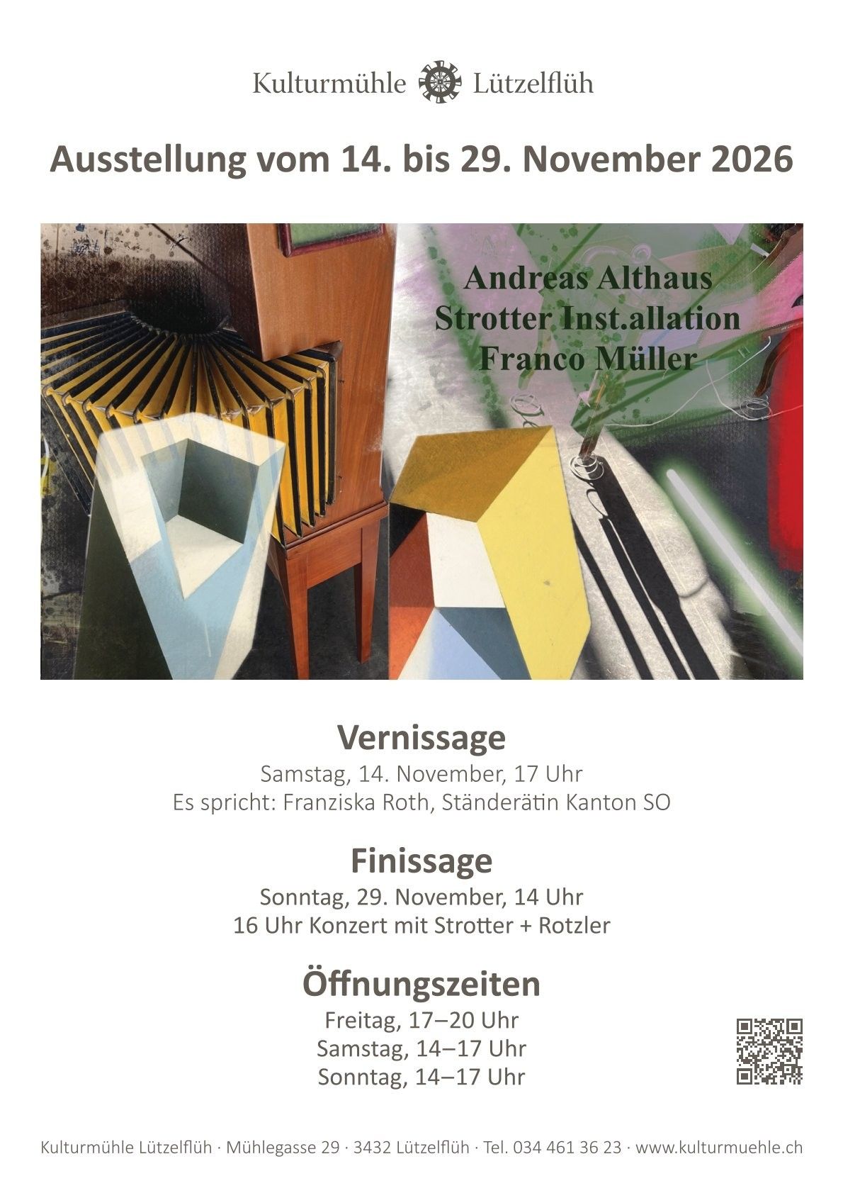
Ausstellung vom 14. - 29. November 2026
ExhibitionKulturmühle Lützelflüh1.2 km - Bowling Center Ticket in Langenthal
 1/3
Bowling Center Ticket in Langenthal
5.0(1)Langenthal27.6 kmper person
from $12


