Hiking trail
Thurgauer Napoleon-Weg
- Hiking trail
- Moderate
- TG
- Distance
- 17 km
- Duration
- 5 h 2 min
- Elevation Gain
- 240 m
- Elevation Loss
- 380 m
- Highest point
- 668 m

Still have questions? Ask Alpi.
Alpi helps you with tours, weather, and everything else that matters.
Elevation profile
Point at a spot with your mouse
About this route
Pariser Flair im Thurgau. Auf den Spuren der napoleonischen Familie entdecken Sie malerische Gärten und prächtige Schlösser. Die Route führt durch ein Mosaik von Feldern und Obstgärten mit spektakulären Ausblicken auf den Untersee. Geniessen Sie vom Napoleonturm den Panoramablick auf die Alpen, Vorarlberg und das Allgäu.
Map
Getting there and tickets
- Public transit at startSiegershausenTrain · 1 min walk to the trail
- Public transit at endMannenbach-Salenstein, BahnhofBus · 1 min walk to the trail
Sat, Oct 241 adult
Your hiking plan
from Zürich HB
The day
Pricing the ticket …
Zürich HB
Mannenbach-Salenstein, Bahnhof
End of the route
Zürich HB
Popular activities
- Amber Rae and band – country and Christmas party

Amber Rae and band – country and Christmas party
EventSiegershausen0.3 km - Seerücken-Route, Stage 2/2
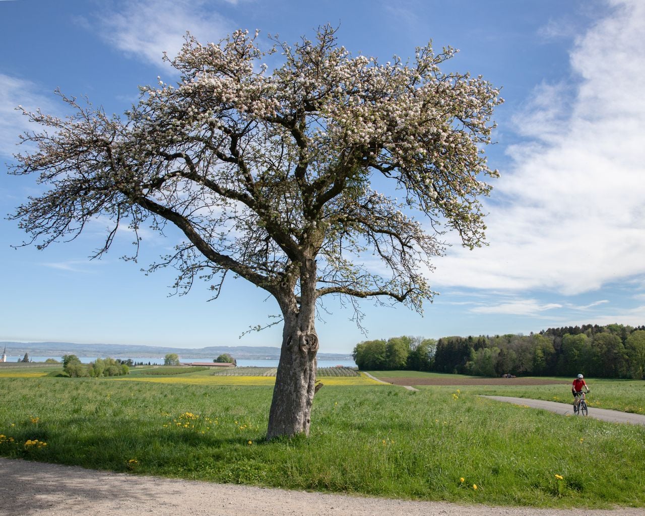
Seerücken-Route, Stage 2/2
Cycling routesSiegershausen → Arbon · 31 km0.5 km - ViaRhenana, Stage 1/10
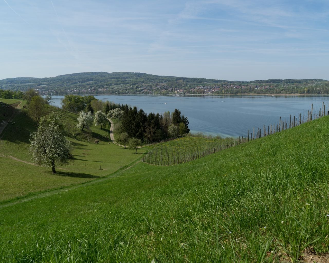

ViaRhenana, Stage 1/10
WanderwegKreuzlingen → Steckborn · 19 km · 5 h 39 min5.2 km - Golf Introductory Course in Lipperswil

Golf Introductory Course in Lipperswil
Kreuzlingen9.2 kmfrom $166
- "Find-the-Code: Thurgau Legends" Outdoor Escape Game Frauenfeld
 1/7
"Find-the-Code: Thurgau Legends" Outdoor Escape Game Frauenfeld
3.0(1)Frauenfeld22.8 kmper person
from $11