Hiking trail
Randa Hängebrückenweg
- Mountain hiking trail
- Moderate
- VS
- Distance
- 7 km
- Duration
- 4 h 37 min
- Elevation Gain
- 700 m
- Elevation Loss
- 700 m
- Highest point
- 2,084 m

Still have questions? Ask Alpi.
Alpi helps you with tours, weather, and everything else that matters.
Elevation profile
Point at a spot with your mouse
About this route
Schwindelfrei? Hoffentlich. Diese Rundwanderung verläuft durch Lärchenwälder und führt zu einem imposanten Rekordbau: zur längsten Fussgänger-Hängebrücke der Alpen. Sie misst 494 Meter, am höchsten Punkt schwebt man 85 Meter über dem Grabengufer.
Map
Getting there and tickets
- Public transit at startRanda, BahnhofBus · 1 min walk to the trail
- Public transit at endRanda, BahnhofBus · 1 min walk to the trail
Sun, Nov 11 adult
Your hiking plan
from Zürich HB
The day
Pricing the ticket …
Zürich HB
Randa, Bahnhof
End of the route
Zürich HB
Popular activities
- Swiss Tour Monte Rosa, Stage 3/3
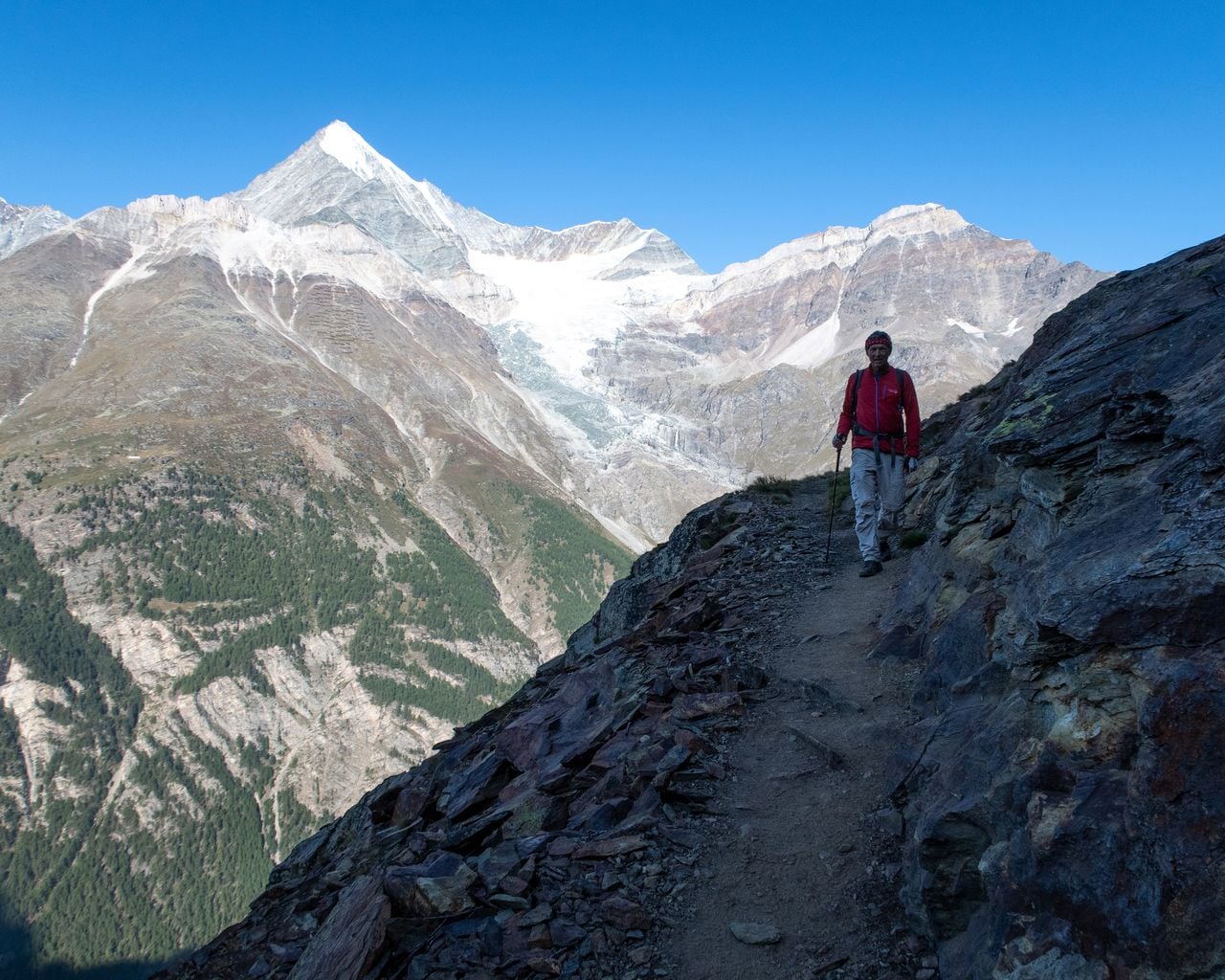

Swiss Tour Monte Rosa, Stage 3/3
AlpinwanderwegEuropahütte → Zermatt · 19 km · 9 h 1 min7.6 km - Mountain Guide, Local Heritage and Mineral Museum

Mountain Guide, Local Heritage and Mineral Museum
MuseumSt. Niklaus VS9.4 km - Paragliding “The Spectacular” in Zermatt
 1/9
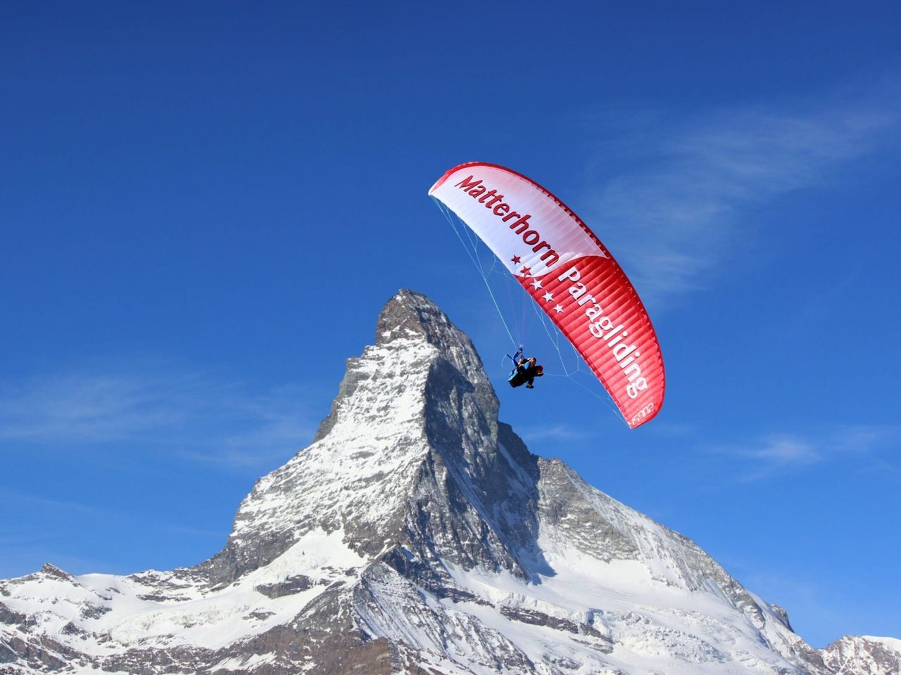
Paragliding “The Spectacular” in Zermatt
4.7(6)Zermatt9.7 kmper person
from $306
- Mountain bike basic course private from Zermatt
 1/5
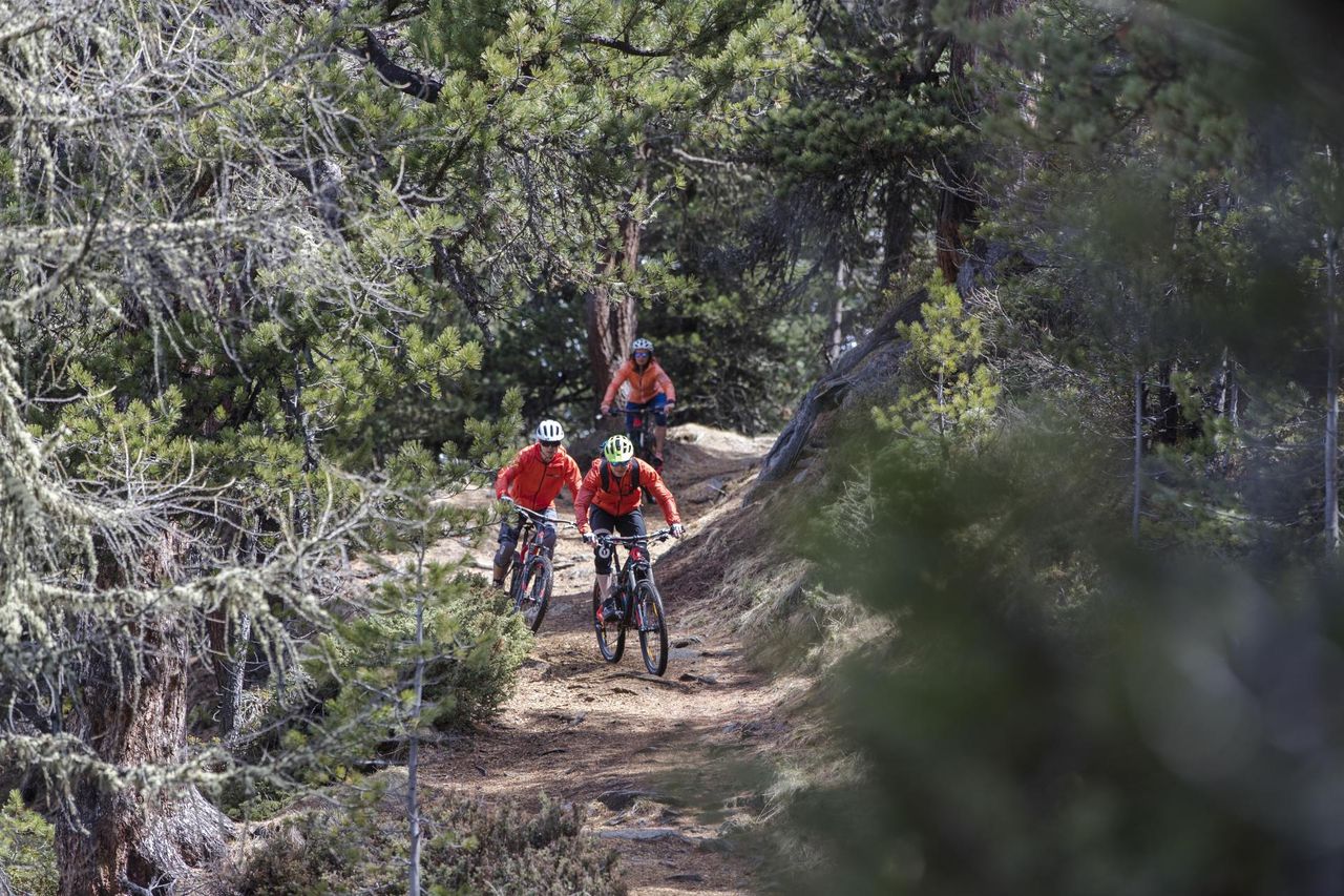
Mountain bike basic course private from Zermatt
Zermatt10 kmper person
from $115