Hiking trail
Pazolastock-Rheinquelle-Weg
- Mountain hiking trail
- Hard
- UR
- Distance
- 10 km
- Duration
- 6 h 3 min
- Elevation Gain
- 900 m
- Elevation Loss
- 900 m
- Highest point
- 2,741 m
Elevation profile
Point at a spot with your mouse
About this route
Schon Pater Placidus A. Spescha (1752 – 1833) beschrieb den Tomasee wie folgt: «Dieser 200 Schritt breite und 400 Schritt lange See ist das Becken, aus welchem der vordere Rhein seinen Ursprung nimmt. Es ist eine wunderschöne Gegend und somit würdig, die Urquelle eines solchen Flusses zu sein.»
Map
Getting there and tickets
- Public transit at startOberalppass, BahnhofBus · 1 min walk to the trail
- Public transit at endOberalppass, BahnhofBus · 1 min walk to the trail
Sat, Oct 241 adult
Your hiking plan
from Zürich HB
The day
Pricing the ticket …
Zürich HB
Oberalppass, Bahnhof
End of the route
Zürich HB
Popular activities
- Sedrun-Disentis-Weg
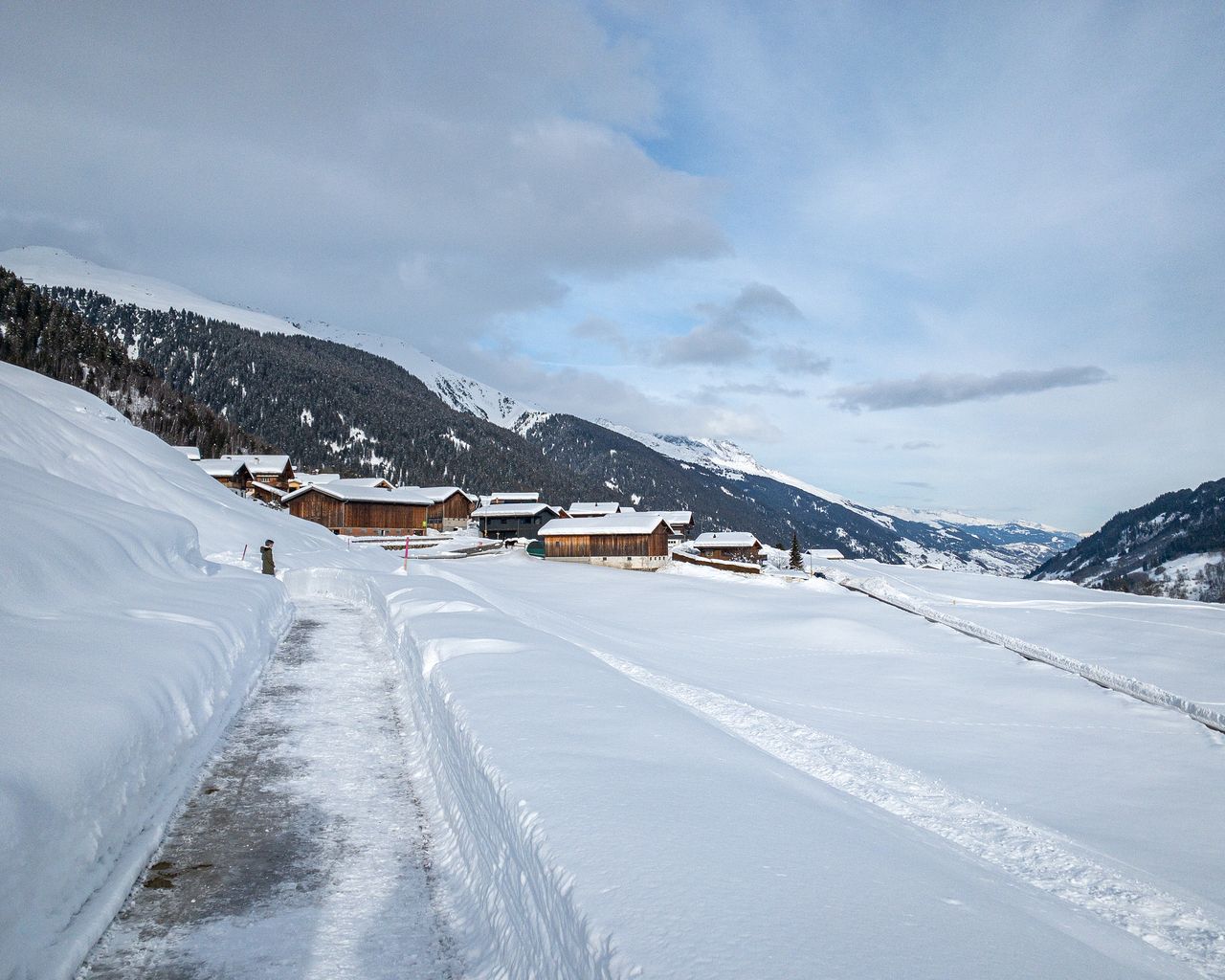
Sedrun-Disentis-Weg
Winter hiking routesSedrun → Disentis · 9.0 km · 2 h 53 min10.1 km - Senda Sursilvana, Stage 2/5
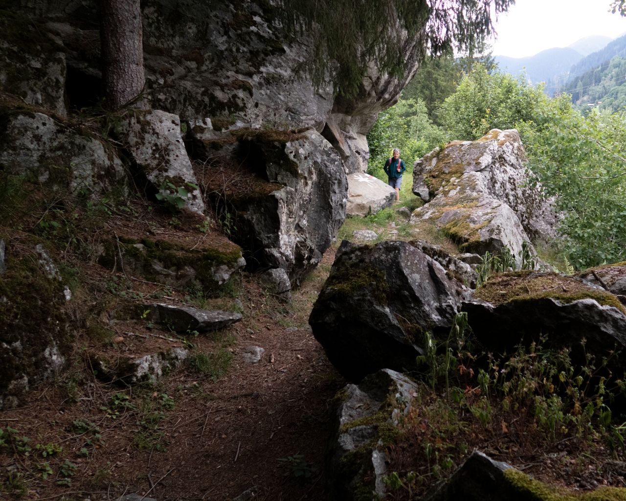

Senda Sursilvana, Stage 2/5
BergwanderwegSedrun → Sumvitg · 18 km · 6 h 1 min10.1 km - Rafting tour Vorderrhein Rhine Gorge
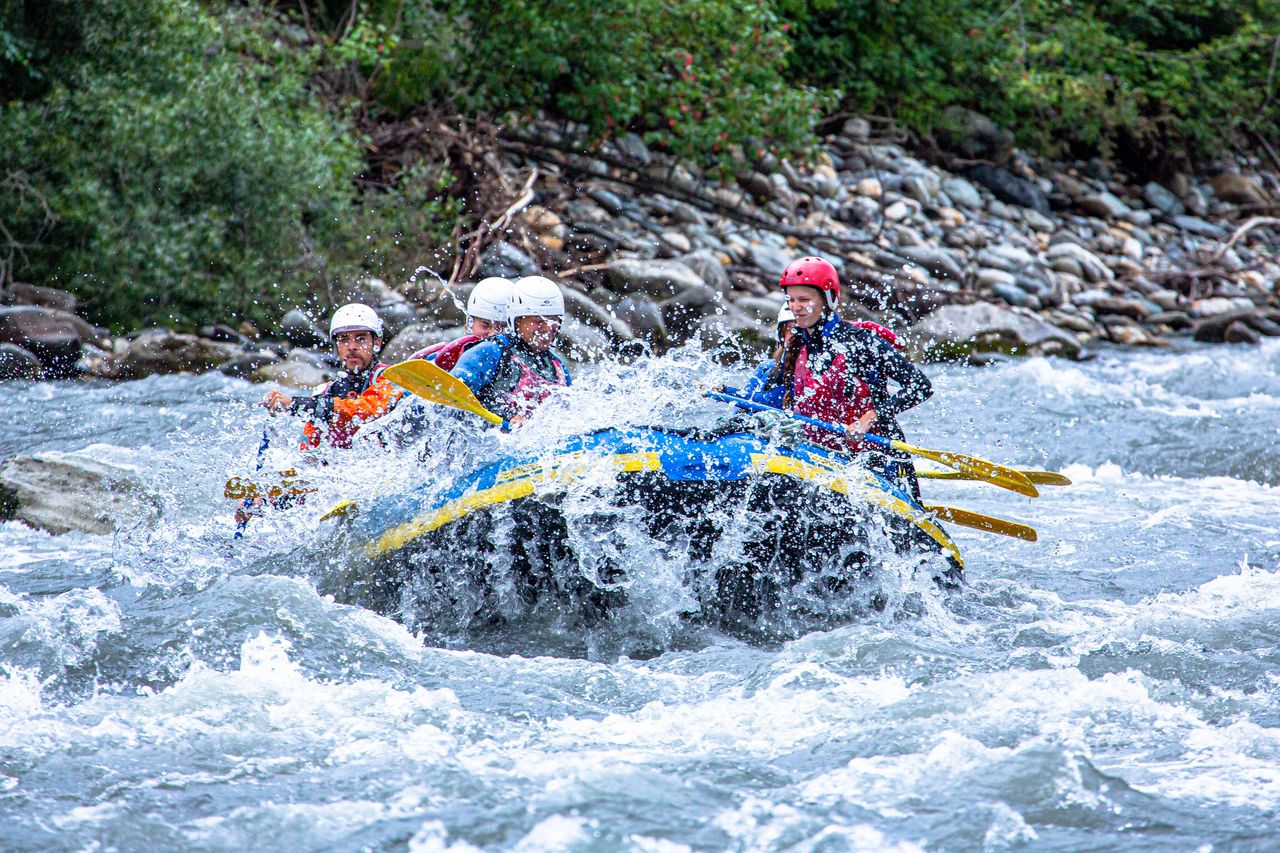 1/9
Rafting tour Vorderrhein Rhine Gorge
4.9(35)Ilanzper person
from $159
- Rafting Tour Vorderrhein with Barbecue
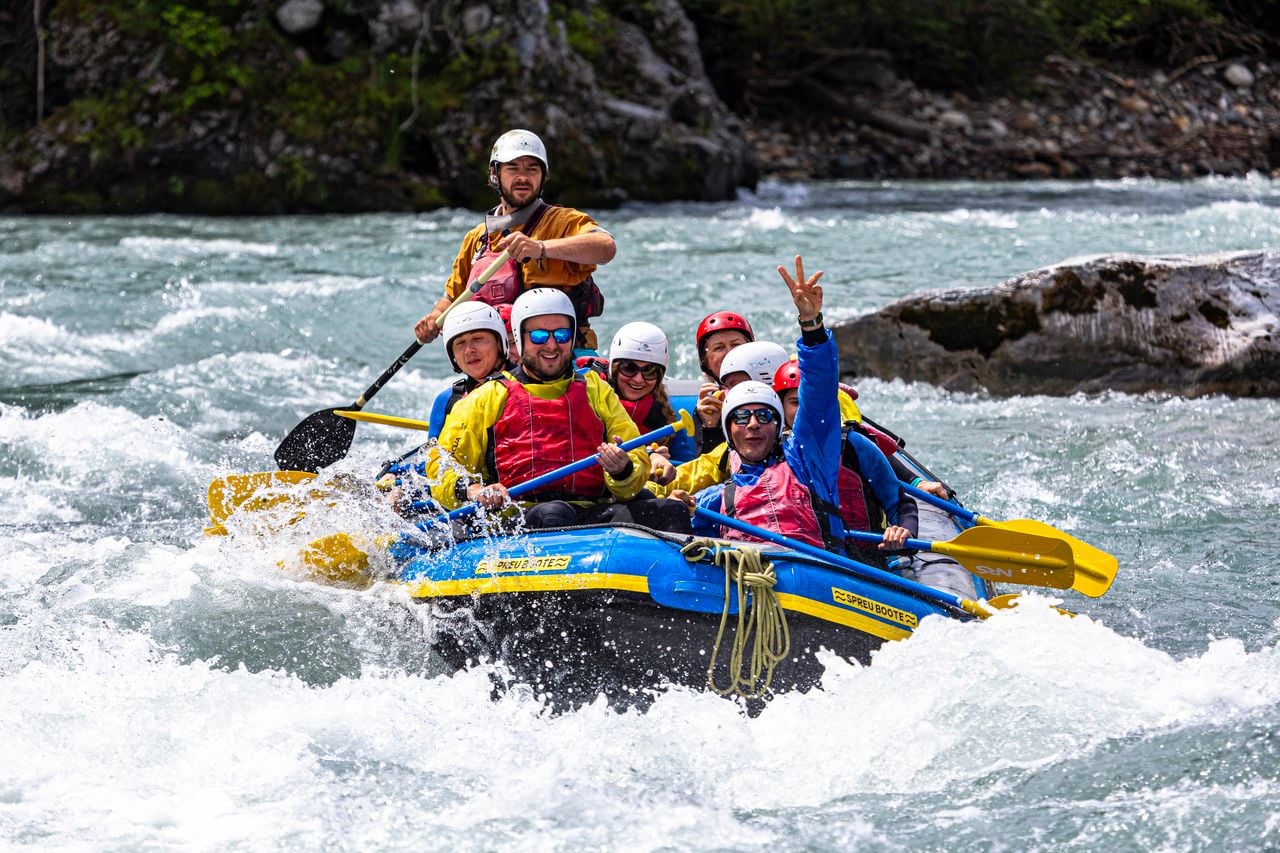 1/9
Rafting Tour Vorderrhein with Barbecue
4.5(8)Ilanzper person
from $223
- "Panorama flight" paragliding Lake Lucerne from Emmetten
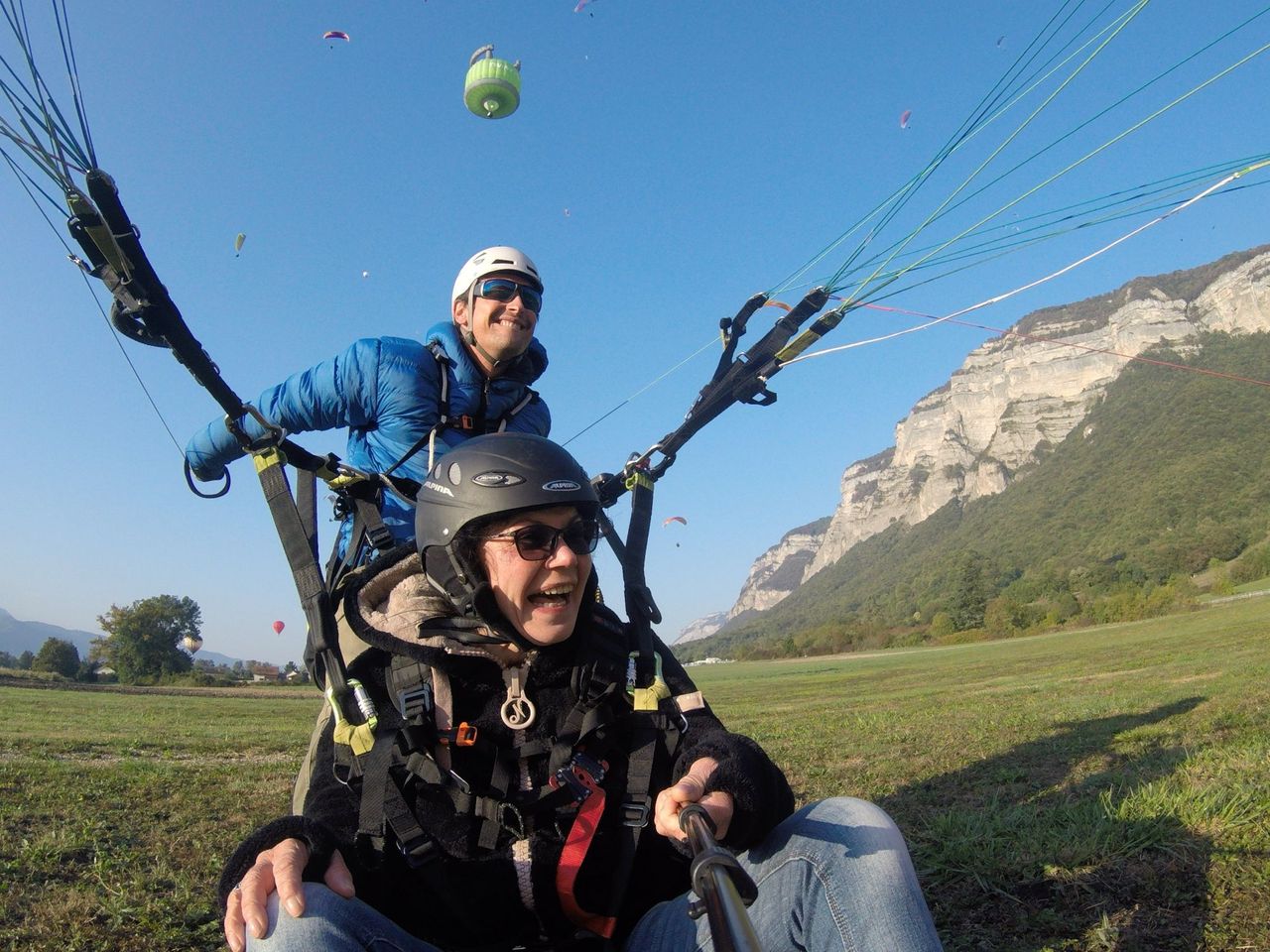 1/8
"Panorama flight" paragliding Lake Lucerne from Emmetten
5.0(2)Emmettenper person
from $255