Hiking trail
Giro del Monte Tamaro
- Mountain hiking trail
- Moderate
- TI
- Distance
- 10 km
- Elevation Gain
- 720 m
- Elevation Loss
- 720 m
- Highest point
- 1,960 m

Still have questions? Ask Alpi.
Alpi helps you with tours, weather, and everything else that matters.
Elevation profile
Point at a spot with your mouse
About this route
Glitzernde Seen und verschneite Alpengipfel – neben den vielen Freizeitangeboten macht das prächtige Panorama den Monte Tamaro zu einem beliebten Ausflugsziel. Auf dem Rundweg zum Gipfel: die Kirche S.Maria degli Angeli des Architekten Mario Botta, die Capanna Tamaro und auf dem Rückweg die idyllische Alpe Duragno.
Map
Getting there and tickets
- Public transit at startAlpe FoppaCable car · 17 min walk to the trail
- Public transit at endAlpe FoppaCable car · 17 min walk to the trail


Popular activities
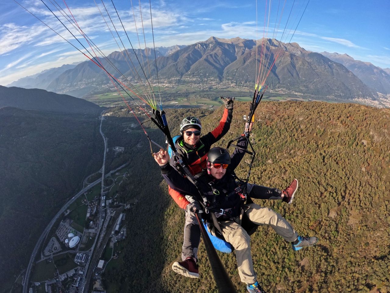
- Monte Tamaro paragliding tandem flight
 1/4
Monte Tamaro paragliding tandem flight
5.0(1)Rivera8.2 kmper person
from $318
- Pool and slides ticket to Splash and Spa
 1/5
Pool and slides ticket to Splash and Spa
4.9(22)Rivera9.7 kmper person
from $50
- Giro del ponte tibetano
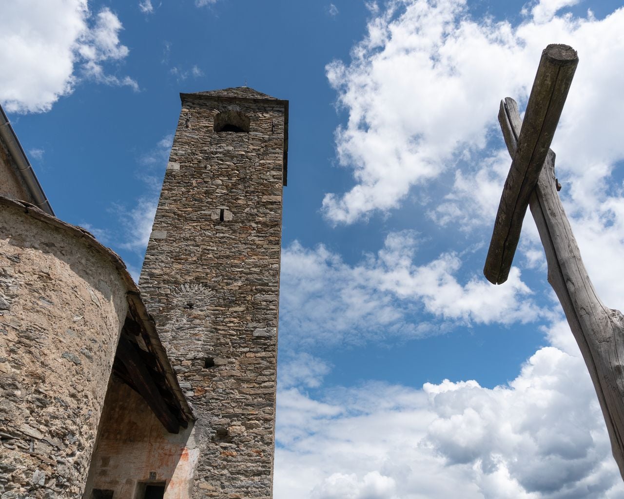

Giro del ponte tibetano
BergwanderwegMonte Carasso · 9.0 km · 4 h 52 min21.1 km - "Nala Pulse" Canyon Adventure for Thrill-Seekers in the Nala Gorge
 1/5
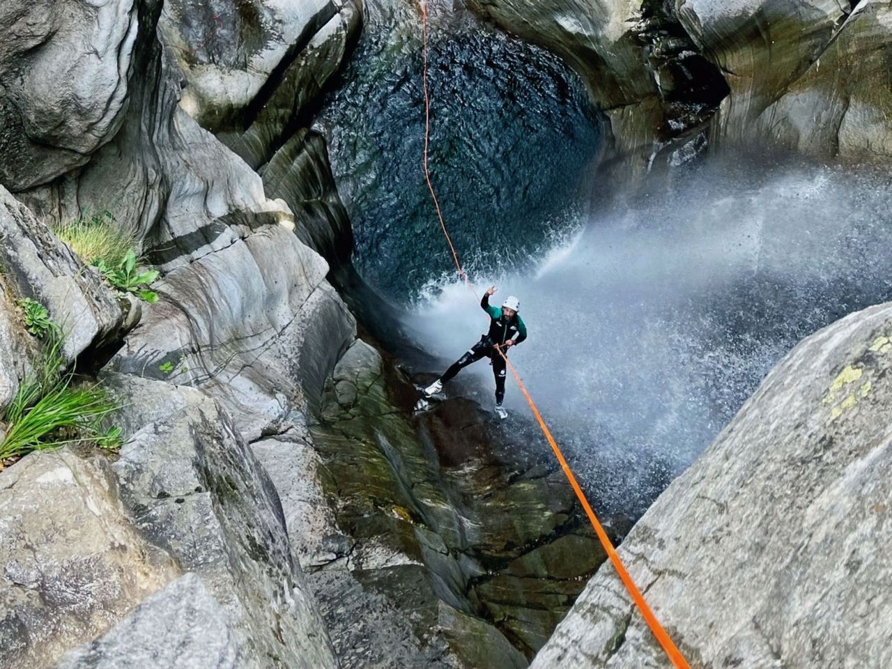
"Nala Pulse" Canyon Adventure for Thrill-Seekers in the Nala Gorge
Riviera31.4 kmper person
from $280