


Hiking trail
Chemin de Montoz
- Hiking trail
- Hard
- SO
- Distance
- 17 km
- Duration
- 5 h 45 min
- Elevation Gain
- 360 m
- Elevation Loss
- 900 m
- Highest point
- 1,303 m

Still have questions? Ask Alpi.
Alpi helps you with tours, weather, and everything else that matters.
Elevation profile
Point at a spot with your mouse
About this route
Von Untergrenchenberg aus erkundet diese Wanderung den Montoz-Kamm. Der Gipfel präsentiert sich als hügeliges Plateau, das von einem breiten Waldgürtel umgeben ist. Der Blick vom Montoz auf reicht bei gutem Wetter bis zu den Alpen.
Map
Getting there and tickets
- Public transit at startGrenchen, Unterer GrenchenbergBus · 1 min walk to the trail
- Public transit at endTavannes, gareBus · 1 min walk to the trail
Sat, Nov 71 adult
Your hiking plan
from Zürich HB
The day
Pricing the ticket …
Zürich HB
Tavannes, gare
End of the route
Zürich HB
Popular activities
- GLP-Meetup: Solar-Eigenverbrauch neu gedacht

GLP-Meetup: Solar-Eigenverbrauch neu gedacht
EventGrenchen6.9 km - From farming village to technology city

From farming village to technology city
14:00ExhibitionKultur-Historisches Museum GrenchenMuseumseintritt CHF 57 km - Willi Ritschard. Politiker von gestern, Fragen von heute
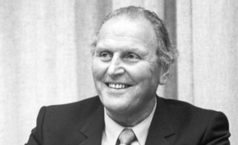
Willi Ritschard. Politiker von gestern, Fragen von heute
14:00ExhibitionMuseum Grenchen7 km - Jurasüdfuss-Route, Stage 2/5


Jurasüdfuss-Route, Stage 2/5
Cycling routesGrenchen → Neuchâtel · 54 km7.6 km - "Alpine Venture" 60-minute scenic flight from Grenchen Airport
 1/10
"Alpine Venture" 60-minute scenic flight from Grenchen Airport
Grenchen9 kmper person
from $1,188
- Biel city tour through the old town
 1/6
Biel city tour through the old town
4.9(7)Biel16.5 kmper person
from $20
- "Find-the-Code: Spooky Corners" Outdoor Escape Game Bern
 1/7
"Find-the-Code: Spooky Corners" Outdoor Escape Game Bern
Bern16.5 kmper person
from $11


