Hiking trail
Bernina-Tour
- Mountain hiking trail
- Hard
- GR
- Distance
- 68 km
- Duration
- 30 h 10 min
- Elevation Gain
- 4,700 m
- Elevation Loss
- 3,000 m
- Highest point
- 3,003 m
Elevation profile
Point at a spot with your mouse
About this route
Weitwanderung mit Blick auf die Gletscher des Berninamassivs und den höchsten Bündner, den Piz Bernina (4049 m ü. M). Unterwegs: der Berninapass mit seinen Seen, die Diavolezza, das blumenreiche Val Roseg, das Engadiner Kulturdorf Sils und herrliche Aussichten, etwa auf den Biancograt oder Oberengadiner Seenlandschaft.
Map
Getting there and tickets
- Public transit at startPoschiavoTrain · 1 min walk to the trail
- Public transit at endMaloja, PostaBus · 1 min walk to the trail
Sat, Oct 241 adult
Your hiking plan
from Zürich HB
The day
Pricing the ticket …
Zürich HB
Maloja, Posta
End of the route
Zürich HB
Popular activities
- ViaValtellina, Stage 7/8

ViaValtellina, Stage 7/8
BergwanderwegPoschiavo → San Romerio · 11 km · 5 h 41 min0.1 km - Trans-Altarezia Bike, Stage 5/5
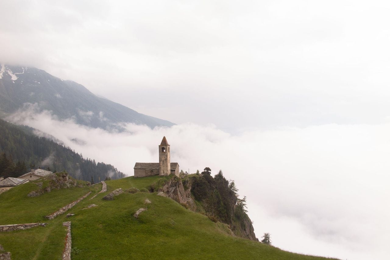
Trans-Altarezia Bike, Stage 5/5
Mountain bike routesPoschiavo → Tirano (I) · 30 km0.1 km - Breakfast and spa at Cresta Palace in Celerina
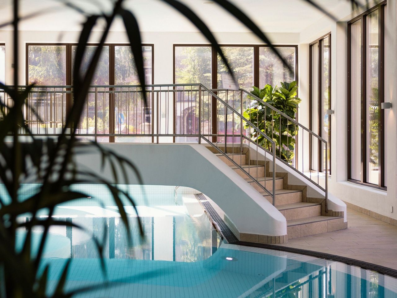 1/11
Breakfast and spa at Cresta Palace in Celerina
Celerina Schlarigna36.5 kmper person
from $115
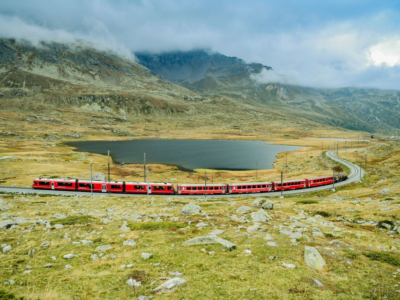
- Bernina railway ticket route
 1/10
Bernina railway ticket route
4.5(48)St. Moritz37 kmper person
from $42
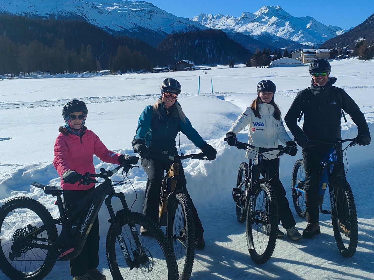
- Bike tour with BBQ or picnic from St. Moritz
 1/7
Bike tour with BBQ or picnic from St. Moritz
St. Moritz38.8 kmper person
from $632