


Hiking trail
Alpine Panorama Trail, Stage 2/29
- Hiking trail
- Moderate
- AR
- Distance
- 13 km
- Duration
- 4 h 54 min
- Elevation Gain
- 560 m
- Elevation Loss
- 700 m
- Highest point
- 1,138 m
Elevation profile
Point at a spot with your mouse
About this route
Von Trogen (AR) über zwei sanfte Hügel mit grossartiger Aussicht auf den Säntis, die Stadt St.Gallen, den Bodensee und das coupierte Appenzellerland in den weiten Talkessel von Appenzell mit seinen reich verzierten Bürgerhäusern.
Map
Getting there and tickets
- Public transit at startTrogen, LandsgemeindeplatzBus · 1 min walk to the trail
- Public transit at endAppenzell, AdlerplatzBus · 1 min walk to the trail
Sat, Oct 241 adult
Your hiking plan
from Zürich HB
The day
Pricing the ticket …
Zürich HB
Appenzell, Adlerplatz
End of the route
Zürich HB
Popular activities
- Panorama Bike, Stage 2/14


Panorama Bike, Stage 2/14
Mountain bike routesTrogen → Appenzell · 18 km0.1 km - Wort und Musik: Arthur Steiner - Gerhard Falkner - Peter Mor

Wort und Musik: Arthur Steiner - Gerhard Falkner - Peter Mor
EventTrogen0.1 km - Panoramaloipe Langenegg–Bensol
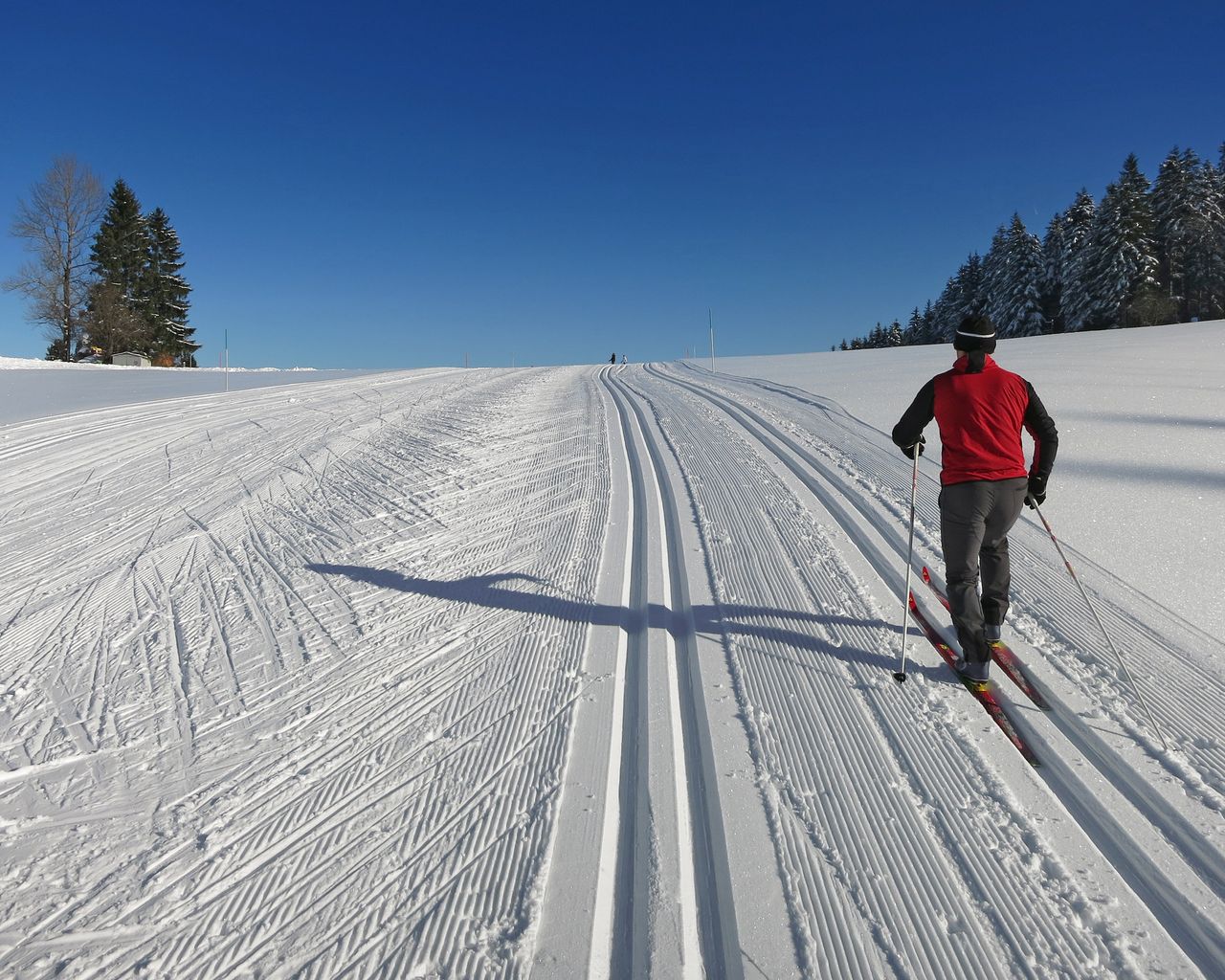

Panoramaloipe Langenegg–Bensol
Cross-Country SkiingRehetobel, Nasen · 9.0 km5.1 km - "SECTOR" Activate Room St. Gallen
 1/8
"SECTOR" Activate Room St. Gallen
5.0(1)St. Gallen9 kmper person
from $50
- "The Magic Portal" Escape Game St. Gallen
 1/6
"The Magic Portal" Escape Game St. Gallen
4.9(9)St. Gallen9.3 kmper person
from $64
- "Operation Mindfall" Escape Game St. Gallen
 1/6
"Operation Mindfall" Escape Game St. Gallen
4.8(4)St. Gallen9.3 kmper person
from $64


