Cycling routes
Töss-Jona-Route
- Moderate
- ZH
- Distance
- 77 km
- Elevation Gain
- 760 m
- Elevation Loss
- 740 m
- Highest point
- 764 m
Elevation profile
Point at a spot with your mouse
About this route
Vom Tösstal mit seinen Wiesen, Reben und Zeugen der Industrialisierung durch Winterthur’s Peripherie, hinein ins Tössbergland mit schmalem Haupttal und wilden Seitentälern. Die Landschaft öffnet sich, hin zum Alpen-Panorama, der Zürichsee naht.
Map
Getting there and tickets
- Public transit at startEglisau, BahnhofBus · 1 min walk to the trail
- Public transit at endJona, AllmeindstrasseBus · 1 min walk to the trail
Popular activities
- Kapitänsbrunch im Winter ab Tössegg & Eglisau
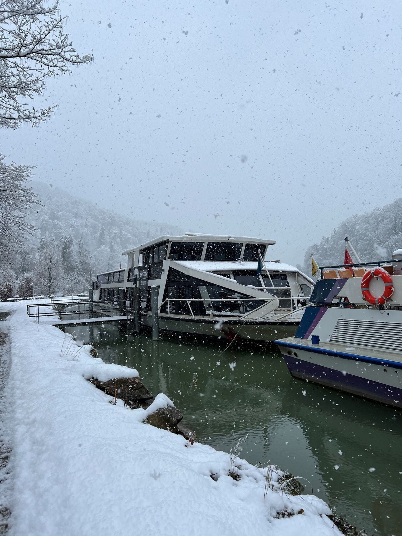
Kapitänsbrunch im Winter ab Tössegg & Eglisau
Culinary EventEglisau0.9 km - Studenland-Töss-Römer-Route, Stage 2/2
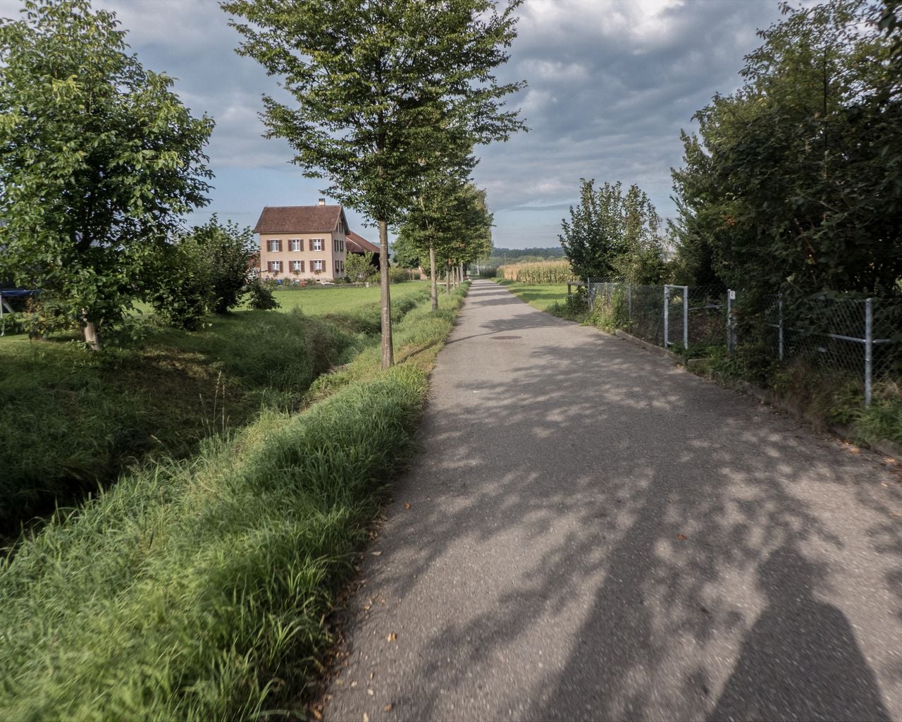
Studenland-Töss-Römer-Route, Stage 2/2
Cycling routesBülach → Steckborn · 54 km7.7 km - Rustexpress Route Zurich / Aargau: Bus trip to Europa-Park with EUROBUS
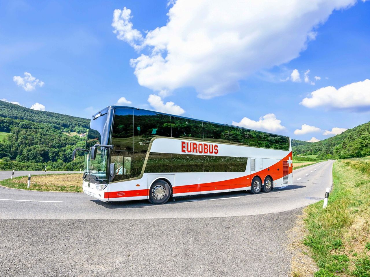 1/8
Rustexpress Route Zurich / Aargau: Bus trip to Europa-Park with EUROBUS
5.0(1)Zurich18.8 kmper person
from $134
- Ticket Swiss National Museum Zurich
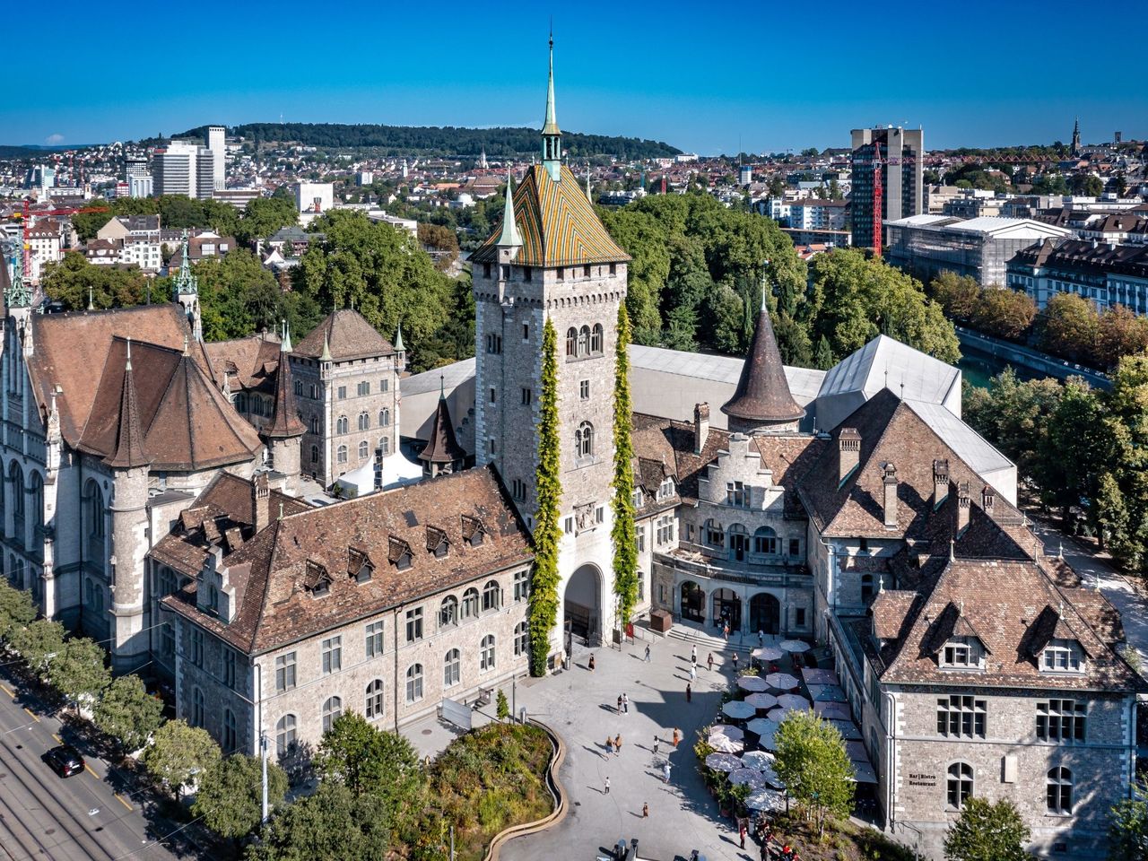 1/17
Ticket Swiss National Museum Zurich
5.0(5)Zurich26 kmper person
from $17
- Private city tour in Zurich with the Stadtflüsterern
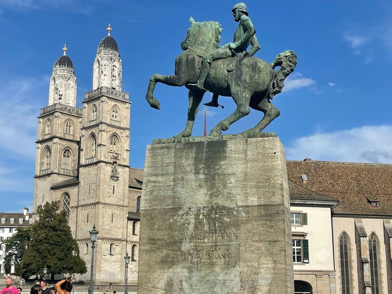 1/5
Private city tour in Zurich with the Stadtflüsterern
5.0(6)Zurich26.1 kmper person
from $68