Cycling routes
Thur-Route, Stage 2/3
- Moderate
- TG
- Distance
- 53 km
- Elevation Gain
- 720 m
- Elevation Loss
- 460 m
- Highest point
- 763 m

Still have questions? Ask Alpi.
Alpi helps you with tours, weather, and everything else that matters.
Elevation profile
Point at a spot with your mouse
About this route
Die Thur schwenkt nach Westen und Süden, sie gräbt sich in die Sandsteinfelsen ein, die Stimmung ist seltsam verwunschen. Das Toggenburg ist geprägt von einer hügeligen und kleinräumigen Landschaft, Graswirtschaft mit verstreut liegenden Höfen.
Map
Getting there and tickets
- Public transit at startBischofszell StadtTrain · 1 min walk to the trail
- Public transit at endLichtensteig, ObertorBus · 1 min walk to the trail
Popular activities
- Thurgauer Panoramaweg, Stage 2/2
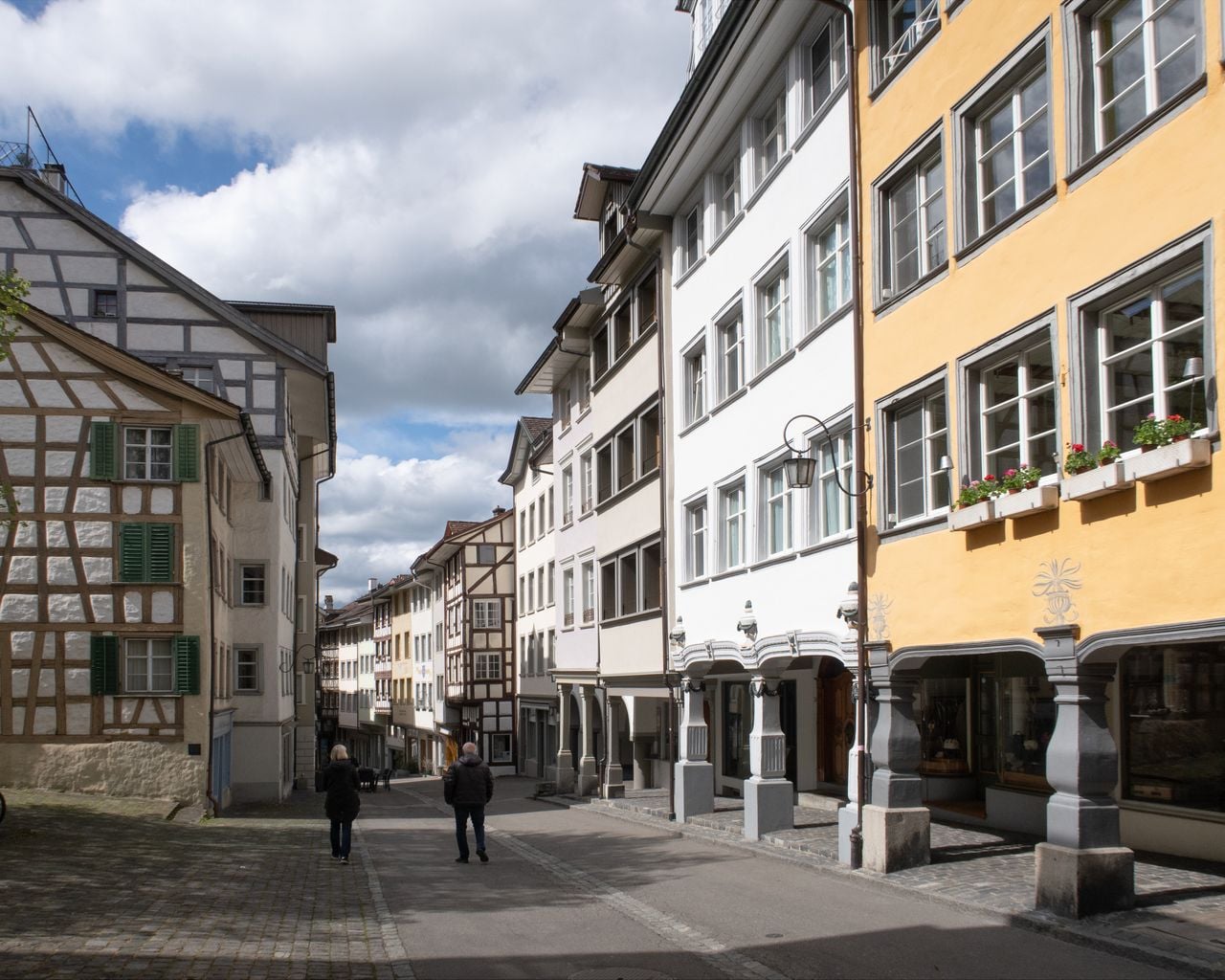
Thurgauer Panoramaweg, Stage 2/2
WanderwegBischofszell → Wil SG · 21 km · 6 h 35 min0 km - Ceilidh – an evening of songs and stories
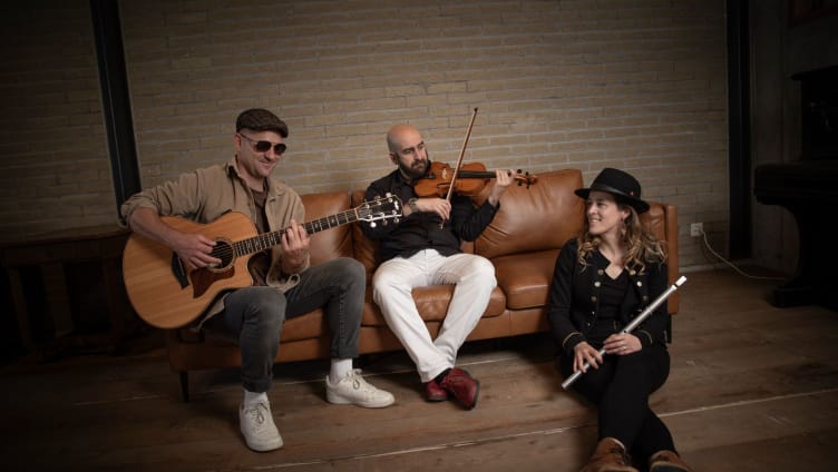
Ceilidh – an evening of songs and stories
EventBischofszell0.2 km - "The Magic Portal" Escape Game St. Gallen
 1/6
"The Magic Portal" Escape Game St. Gallen
4.9(9)St. Gallen19.1 kmper person
from $64