Cycling routes
Ostschweizer Wein-Route, Stage 2/2
- Moderate
- TG
- Distance
- 38 km
- Elevation Gain
- 480 m
- Elevation Loss
- 240 m
- Highest point
- 694 m

Still have questions? Ask Alpi.
Alpi helps you with tours, weather, and everything else that matters.
Elevation profile
Point at a spot with your mouse
About this route
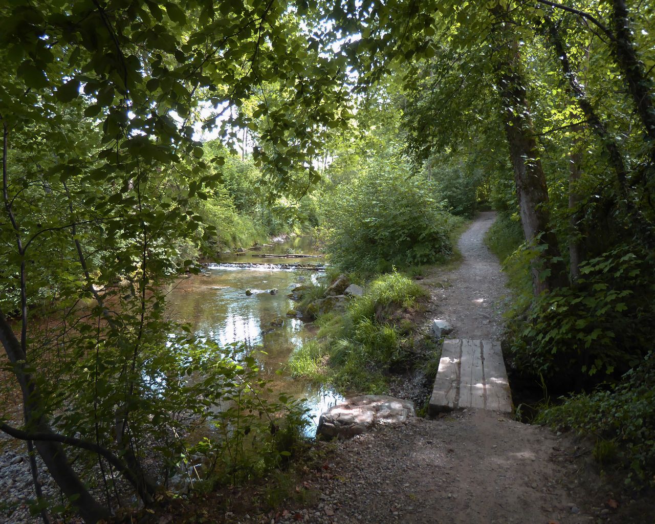
Zügig wird in den grünen Thur-Auen geradelt, dann folgen die propere Altstadt Bischofszell und ruhige grüne Hochflächen im Fürstenland mit seinen tiefen Bacheinschnitten. Rund um Gossau blüht die landwirtschaftliche Produktion. Durch den Industriekorridor pedalend und über das Sittertobel endet die Etappe in der Klosterstadt St. Gallen.
Map
Getting there and tickets
- Public transit at startWeinfelden, FelsenstrasseBus · 2 min walk to the trail
- Public transit at endSt. Gallen, BahnhofBus · 1 min walk to the trail
Popular activities
- Celebration for young citizens of the town of Weinfelden
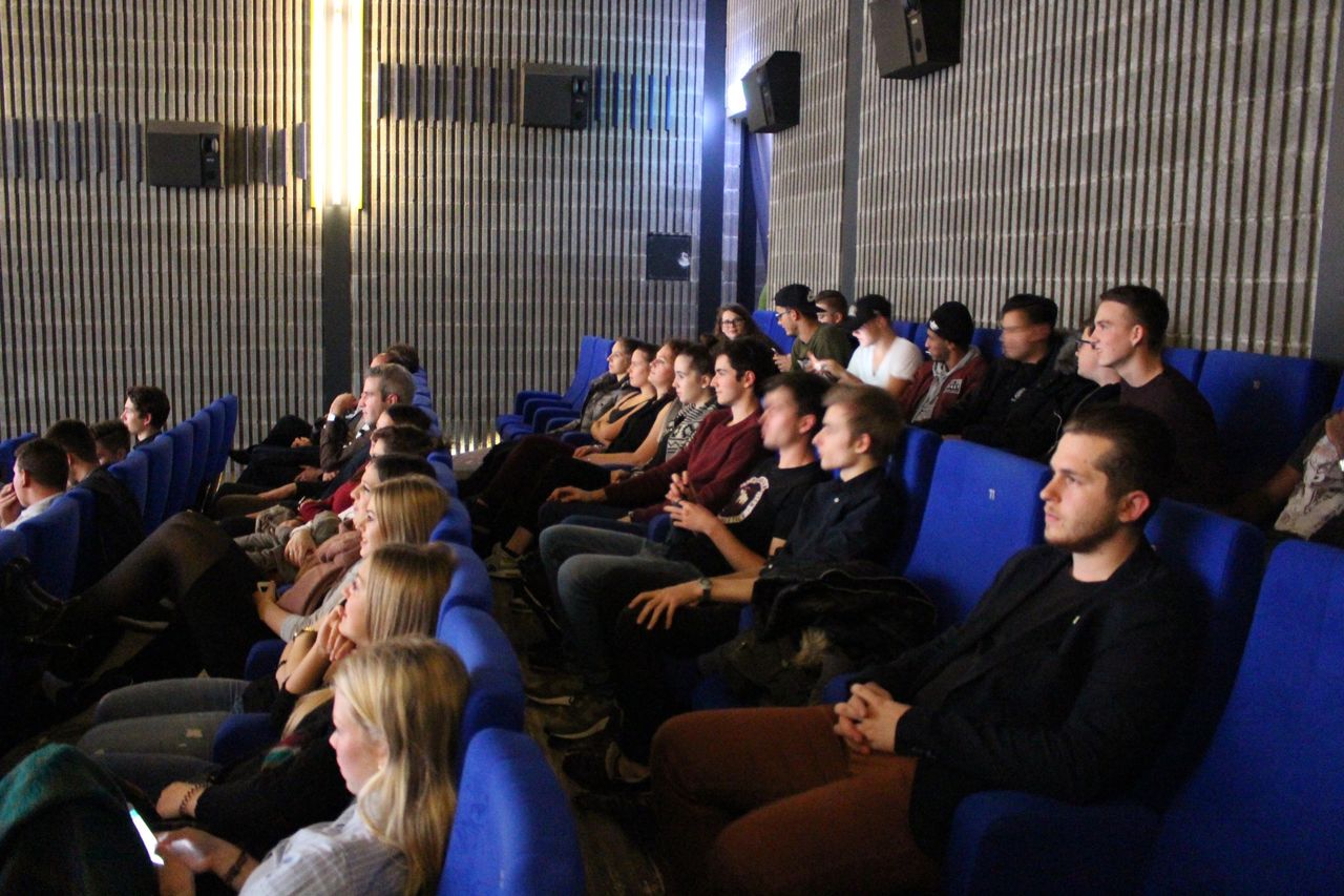
Celebration for young citizens of the town of Weinfelden
EventWeinfelden0 km - 30.KunstHandWerk in der Remise
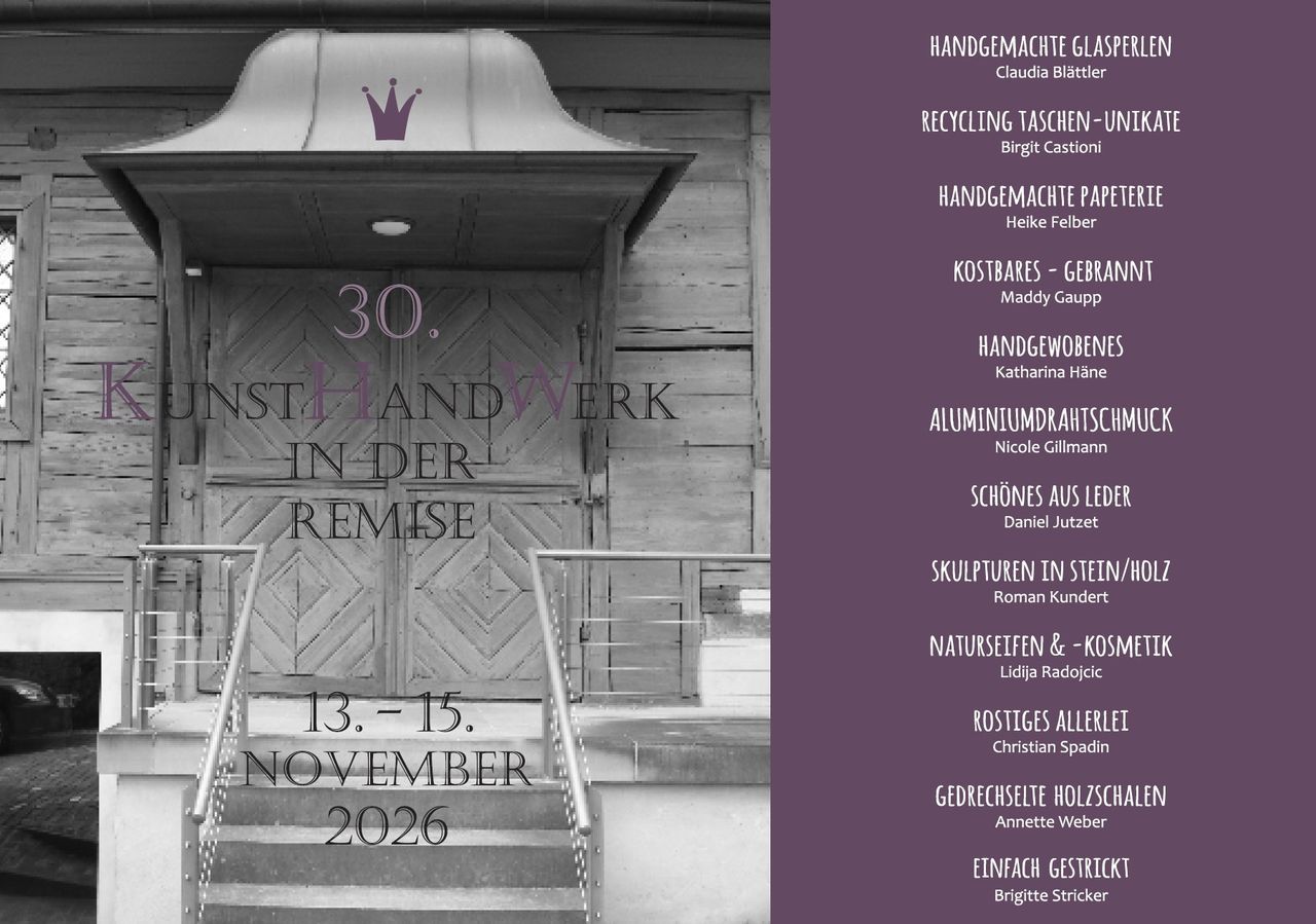
30.KunstHandWerk in der Remise
15:00ExhibitionRemise Haus zum Komitee0.5 km - ViaJacobi, Stage 22/33

ViaJacobi, Stage 22/33
WanderwegMärstetten → Fischingen · 27 km · 8 h 6 min3.5 km - "Find-the-Code: Thurgau Legends" Outdoor Escape Game Frauenfeld
 1/7
"Find-the-Code: Thurgau Legends" Outdoor Escape Game Frauenfeld
3.0(1)Frauenfeld17.4 kmper person
from $11