


Mountain bike routes
Moosfluh Enduro
- Easy
- VS
- Distance
- 15 km
- Elevation Gain
- 130 m
- Elevation Loss
- 1,700 m
- Highest point
- 2,332 m

Still have questions? Ask Alpi.
Alpi helps you with tours, weather, and everything else that matters.
Elevation profile
Point at a spot with your mouse
About this route
Naturbelassener Singletrail mit allem, was die Aletsch Enduro Trails ausmacht: Es warten Passagen mit viel Flow, technische Abschnitte, zig Tiefenmeter und Ausblicke, die einem den Atem rauben. Nach dem Start mit Sicht auf den Aletschgletscher geht’s via Blausee Richtung Riederalp. Das Beste kommt zum Schluss: Die steile Abfahrt nach Mörel sorgt garantiert für einen Adrenalinschub.
Map
Getting there and tickets
- Public transit at startMoosfluhCable car · 1 min walk to the trail
- Public transit at endMörel, LuftseilbahnBus · 1 min walk to the trail
Popular activities
- Schneeschuhtrail Bettmeralp–Riederalp
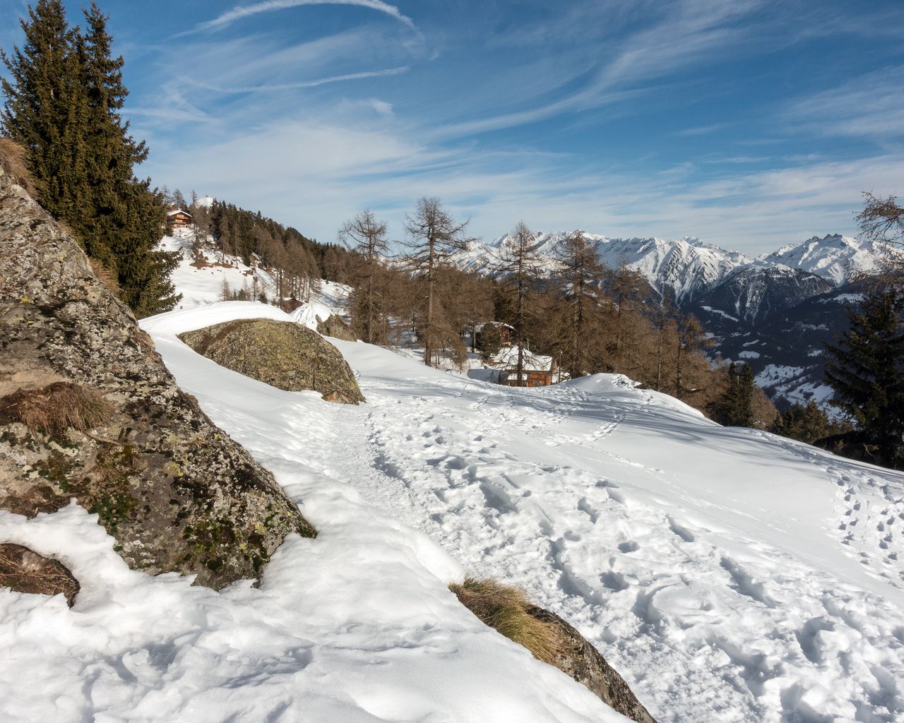
Schneeschuhtrail Bettmeralp–Riederalp
Snowshoe routesBettmeralp · 4.0 km · 2 h 27 min3.7 km - Winterwanderweg Waldpromenade Bettmeralp

Winterwanderweg Waldpromenade Bettmeralp
Winter hiking routesBettmeralp · 5.0 km · 1 h 41 min3.7 km - Winterwanderweg Bettmersee-Gopplerlücke
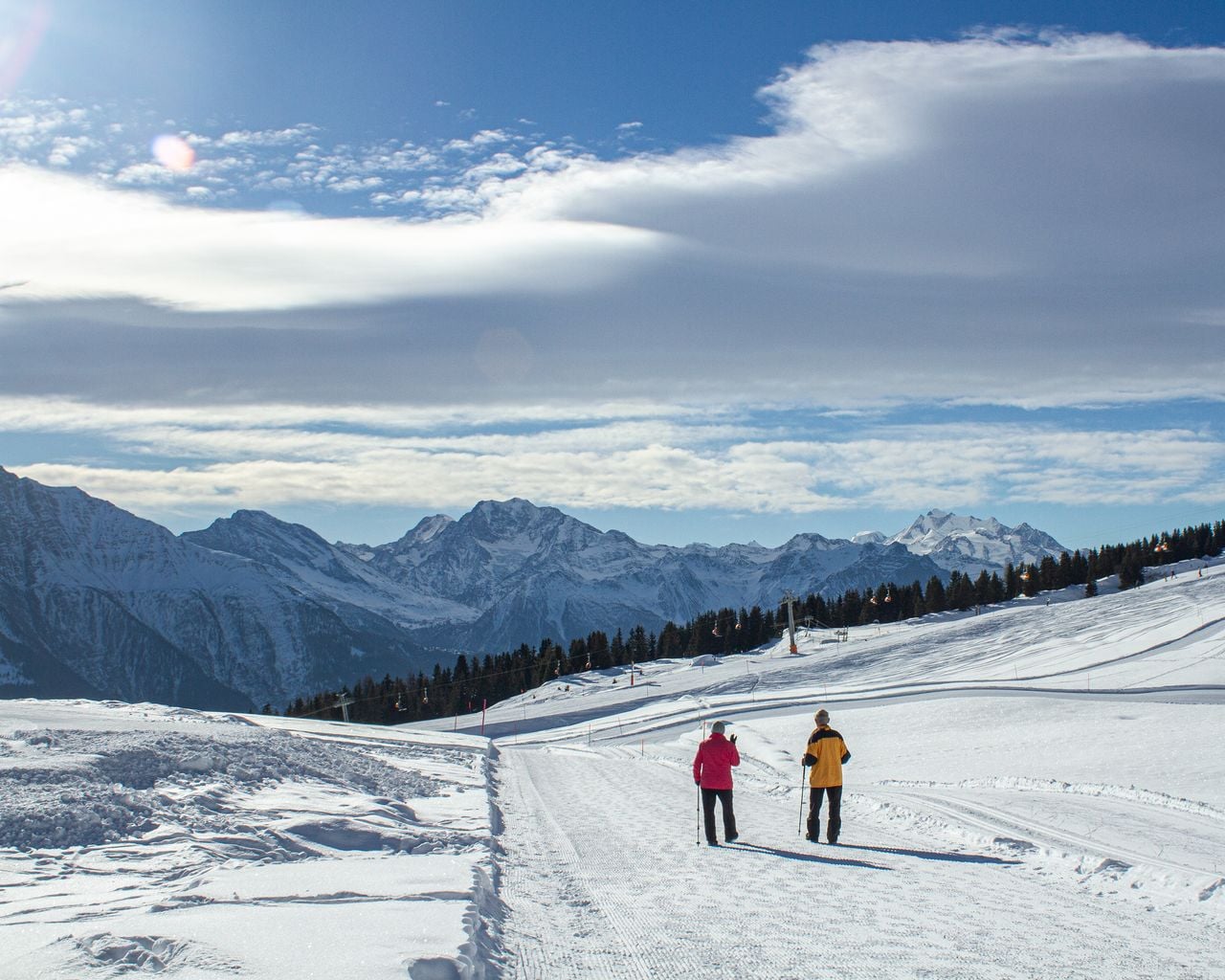
Winterwanderweg Bettmersee-Gopplerlücke
Winter hiking routesBettmeralp → Riederalp · 6.0 km · 2 h 6 min3.7 km - Riederalp paragliding tandem in Valais
 1/9
Riederalp paragliding tandem in Valais
4.7(3)Mörel-Filet9.1 kmper person
from $190
- Aletscharena paragliding tandem from Fiesch
 1/5
Aletscharena paragliding tandem from Fiesch
4.8(5)Fiesch14.7 kmper person
from $190
- Aletscharena paragliding for children from Fiesch
 1/5
Aletscharena paragliding for children from Fiesch
4.8(5)Fiesch14.7 kmper person
from $151


