Mountain bike routes
Graubünden Bike, Stage 3/11
- Hard
- GR
- Distance
- 47 km
- Elevation Gain
- 2,200 m
- Elevation Loss
- 2,000 m
- Highest point
- 1,793 m

Still have questions? Ask Alpi.
Alpi helps you with tours, weather, and everything else that matters.
Elevation profile
Point at a spot with your mouse
About this route
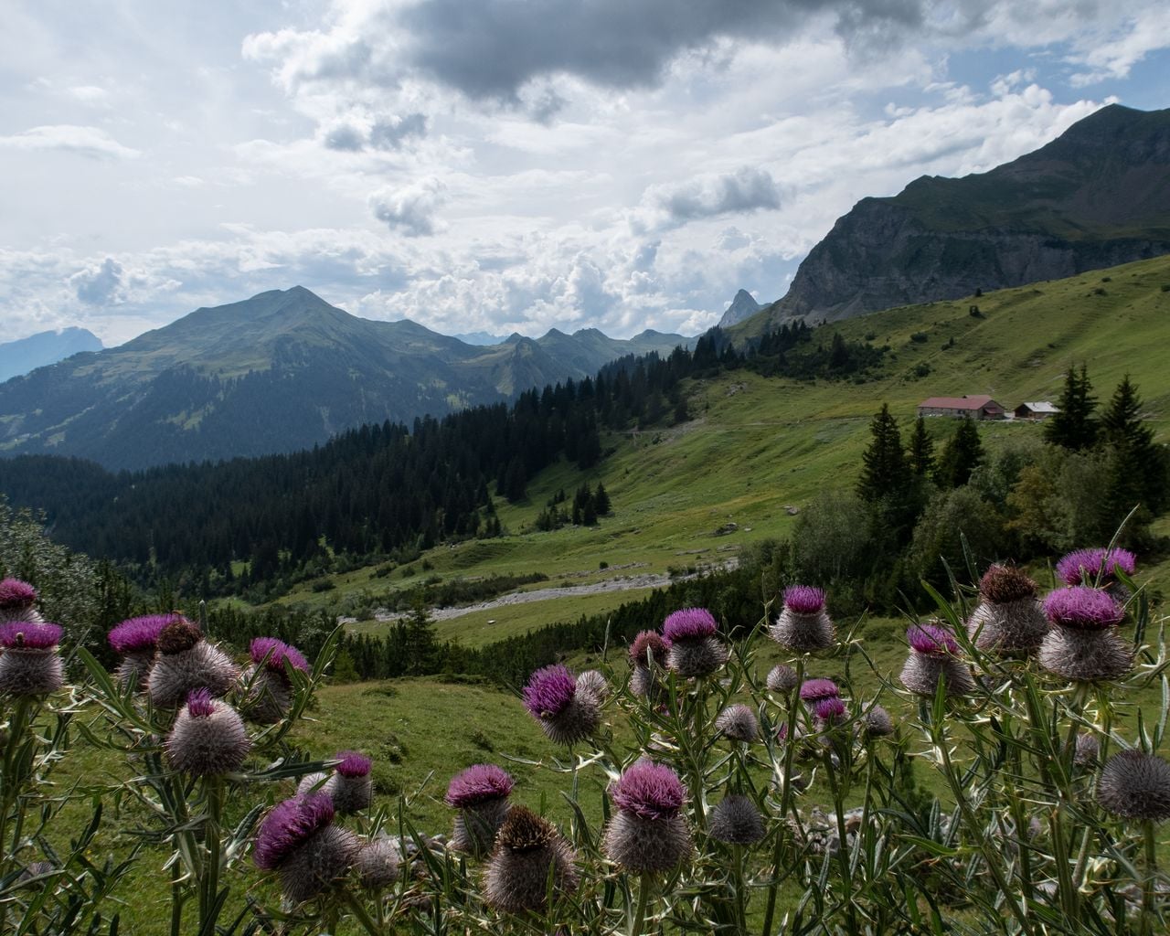
Sensationelle Weitblicke übers Bündner Rheintal entschädigen für den schweisstreibenden Aufstieg nach Stams. Über sanfte Alpweiden und schroffe Talflanken erreicht man die einsame Moorlandschaft des Furnerbergs mit schönem Rundblick ins Prättigau.
Map
Getting there and tickets
- Public transit at startUntervaz, DorfBus · 1 min walk to the trail
- Public transit at endKüblis, DorfplatzBus · 2 min walk to the trail
Popular activities
- Prättigauer Höhenweg, Stage 1/4
Prättigauer Höhenweg, Stage 1/4
BergwanderwegLandquart → Schesaplanahütte · 28 km · 11 h 54 min6 km - Wine and cooking tour for groups
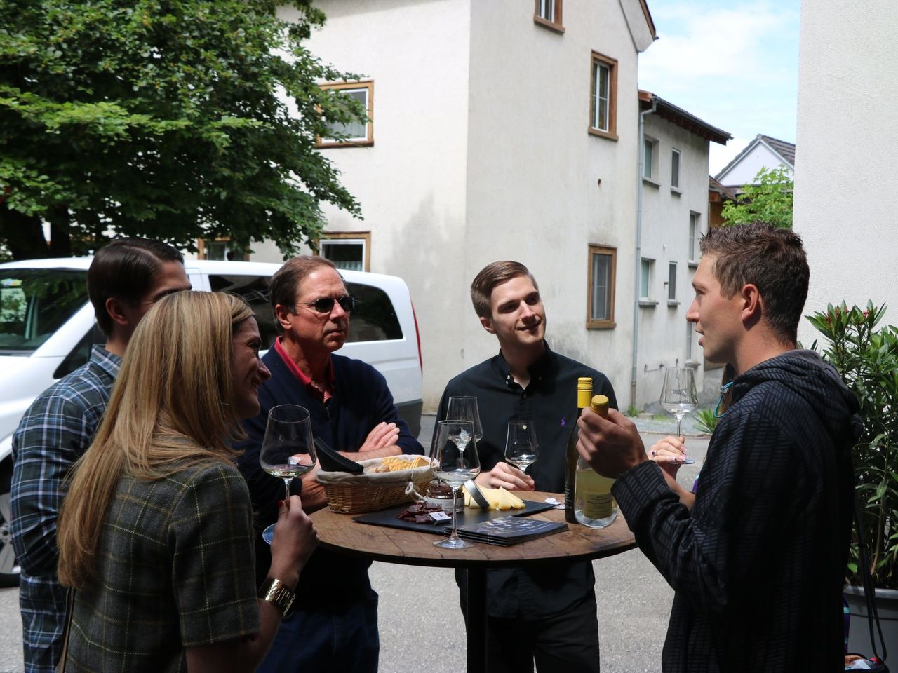 1/8
Wine and cooking tour for groups
Maienfeld10.8 kmper person
from $316
- Culinary tour Bündner Herrschaft by e-bike from Bad Ragaz
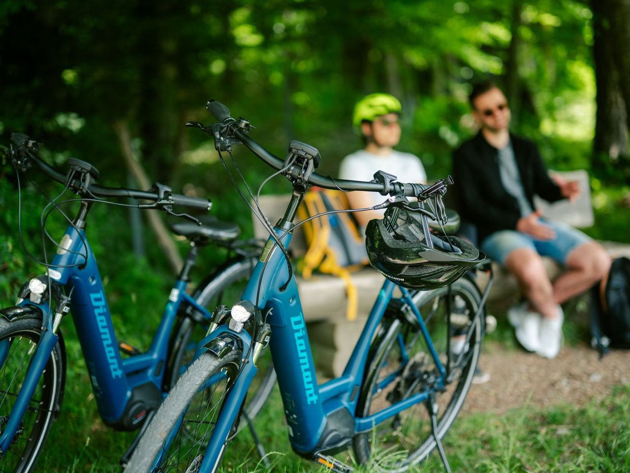 1/9
Culinary tour Bündner Herrschaft by e-bike from Bad Ragaz
4.8(6)Bad Ragaz11.4 kmper person
from $89