


Cycling routes
Dreiland-Radweg, Stage 2/4
- Moderate
- SO
- Distance
- 48 km
- Elevation Gain
- 540 m
- Elevation Loss
- 680 m
- Highest point
- 436 m

Still have questions? Ask Alpi.
Alpi helps you with tours, weather, and everything else that matters.
Elevation profile
Point at a spot with your mouse
About this route
Von Rodersdorf führt die Route über die Grüne Grenze durch kleine Elsässer Dörfer mit charmanten Fachwerkhäusern. Leicht abwärts entlang des Bachs Ill folgt Altkirch, Hauptstadt des Sundgaus. Im mittelalterlichen Stadtkern gibt es eine schöne Auswahl an Cafés und Restaurants. Weiter erstreckt sich die Etappe bis nach Mulhouse, die Hauptstadt der Technik-Museen am Dreiländereck Frankreich–Deutschland–Schweiz.
Map
Getting there and tickets
- Public transit at startRodersdorf, RösmattBus · 3 min walk to the trail
Popular activities
- WACHET AUF - Organ music for the first Advent

WACHET AUF - Organ music for the first Advent
EventMariastein4.1 km - NEUJAHRSKONZERT – Mezzosopran und Orgel

NEUJAHRSKONZERT – Mezzosopran und Orgel
EventMetzerlen-Mariastein4.2 km - BACH · TELEMANN – Kantaten und Orgelpartita
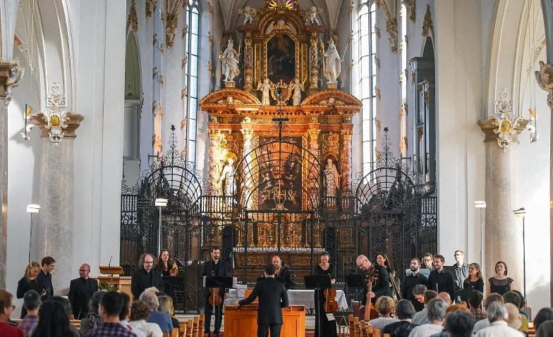
BACH · TELEMANN – Kantaten und Orgelpartita
EventMetzerlen-Mariastein4.2 km - CONCERTI – Händel und seine Zeitgenossen
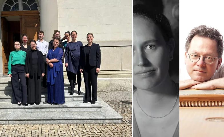
CONCERTI – Händel und seine Zeitgenossen
EventMetzerlen-Mariastein4.2 km - Irina Bugoslavska - A Motif becomes Space

Irina Bugoslavska - A Motif becomes Space
16:00ExhibitionCHOICE by KunstRaumRhein4.4 km - Irina Bugoslavska - Ein Motiv wird zum Raum

Irina Bugoslavska - Ein Motiv wird zum Raum
16:00ExhibitionCHOICE by KunstRaumRhein4.5 km - City tour Basel old town stories
 1/8
City tour Basel old town stories
4.9(49)Basel16.2 kmper person
from $32


