Cycling routes
Broye champêtre à vélo
- Moderate
- VD
- Distance
- 24 km
- Elevation Gain
- 560 m
- Elevation Loss
- 560 m
- Highest point
- 769 m
Elevation profile
Point at a spot with your mouse
About this route
Auf dieser Tour können das mittlere Broyetal und sein angrenzendes Hügelland entdecket werden. Der Weg führt durch mittelalterliche Städtchen, schöne ländliche Gebiete und Waldstriche.
Map
Getting there and tickets
- Public transit at startMoudon, gareBus · 2 min walk to the trail
- Public transit at endMoudon, gareBus · 2 min walk to the trail
Popular activities
- Boucle champêtre du Gros de Vaud
Boucle champêtre du Gros de Vaud
Cycling routesEchallens · 21 km16.4 km - Foxtrail GO Lausanne digital scavenger hunt
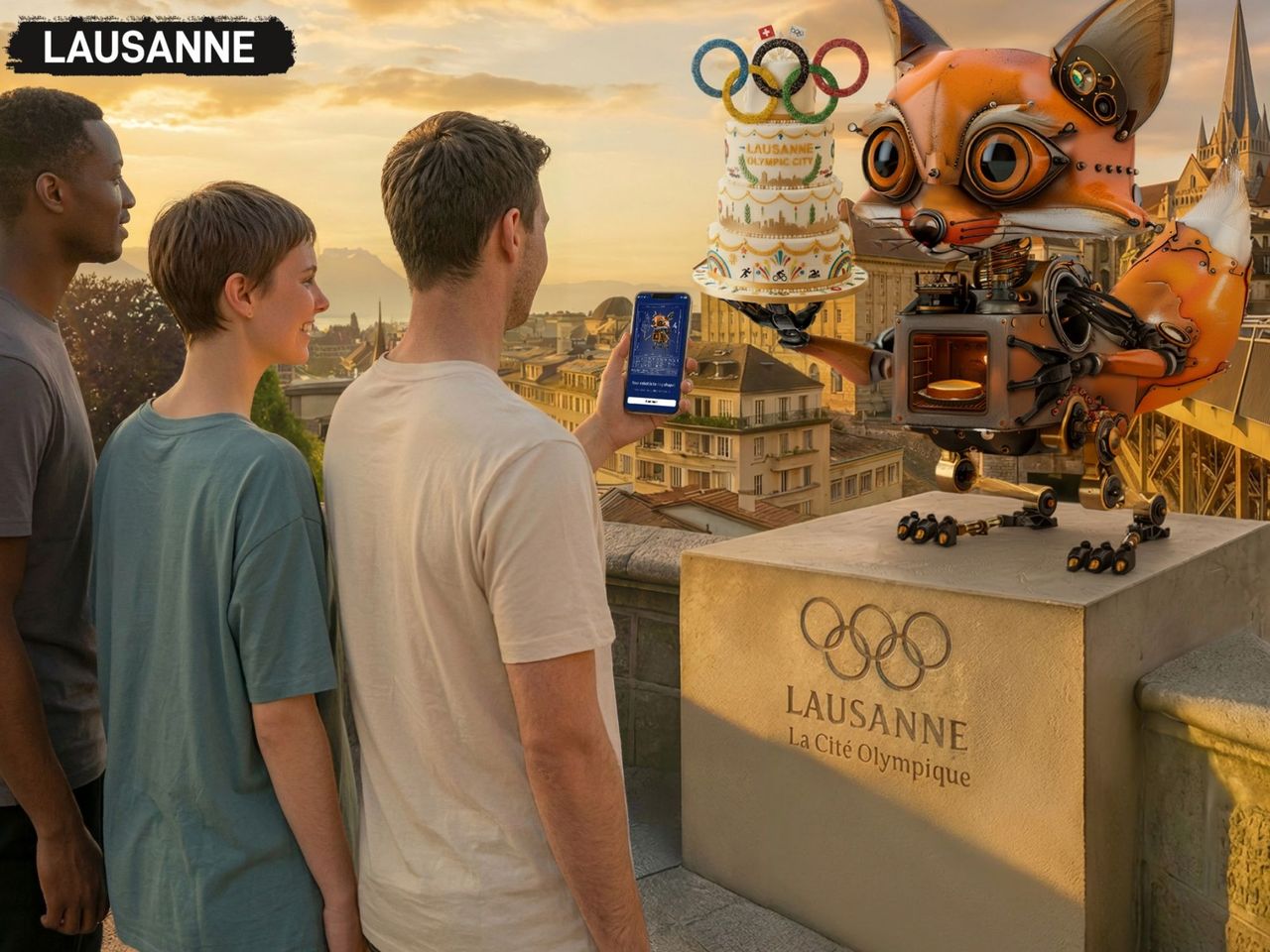 1/6
Foxtrail GO Lausanne digital scavenger hunt
Lausanne23 kmper person
from $25
- Lausanne Ouchy interactive scavenger hunt with smartphone
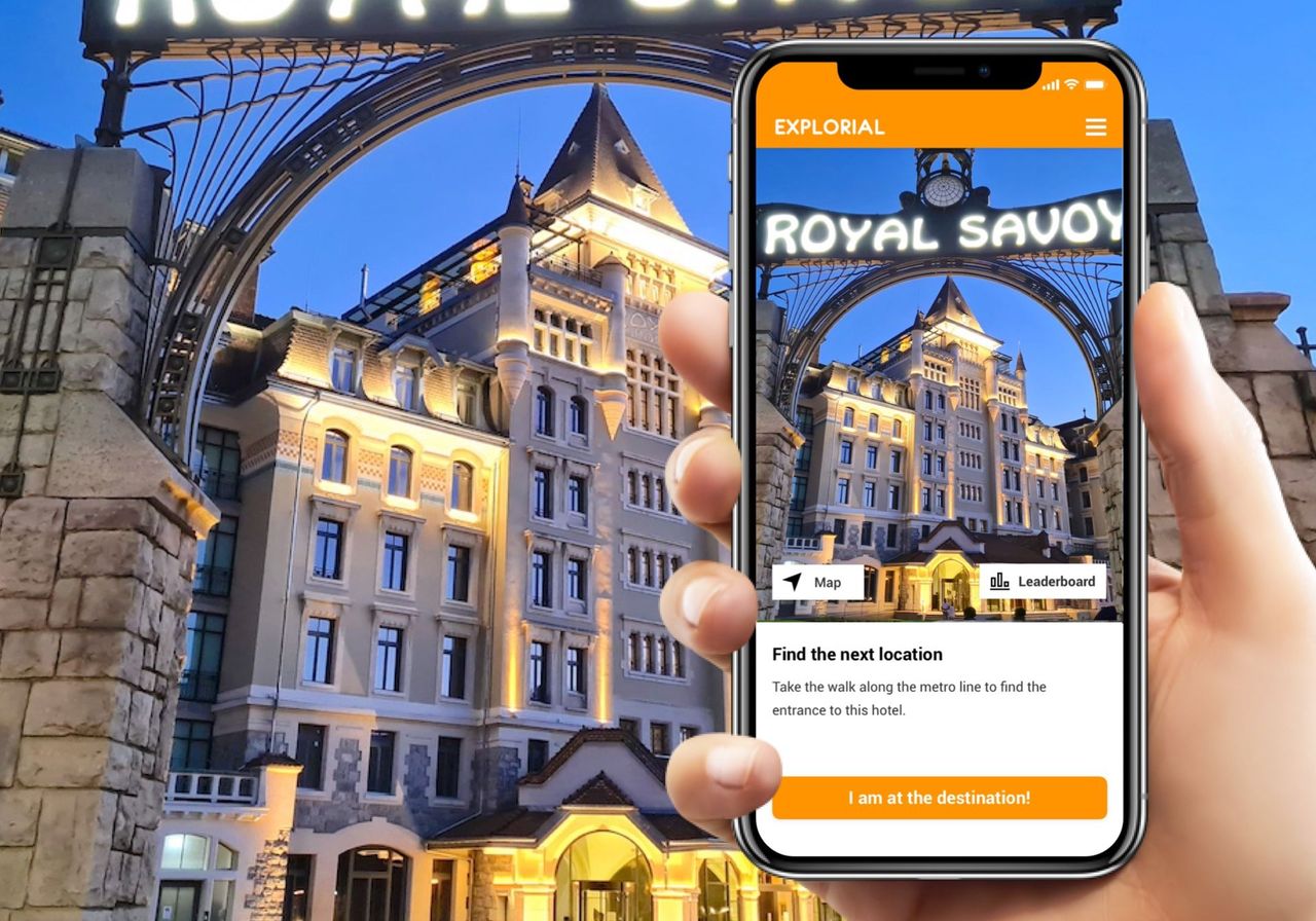 1/7
Lausanne Ouchy interactive scavenger hunt with smartphone
4.0(1)Lausanne25.2 kmper person
from $13
- Ticket Olympic Museum Lausanne
 1/18
Ticket Olympic Museum Lausanne
5.0(2)Lausanne25.9 kmper person
from $26