Cycling routes
Appenzeller Aussichtsroute
- Moderate
- AR
- Distance
- 39 km
- Elevation Gain
- 840 m
- Elevation Loss
- 950 m
- Highest point
- 1,110 m
Elevation profile
Point at a spot with your mouse
About this route
Die Appenzeller Aussichtsroute führt von Heiden quer durch die Hügellandschaft des Appenzellerlandes vorbei an bekannten und unbekannten Highlights bis in die Gallusstadt St. Gallen.
Map
Getting there and tickets
- Public transit at startHeidenTrain · 1 min walk to the trail
- Public transit at endSt. Gallen, BahnhofBus · 1 min walk to the trail
Popular activities
- Special screening: Anders Anders - What connects us

Special screening: Anders Anders - What connects us
EventHeiden0.5 km - Panoramaloipe Langenegg–Bensol
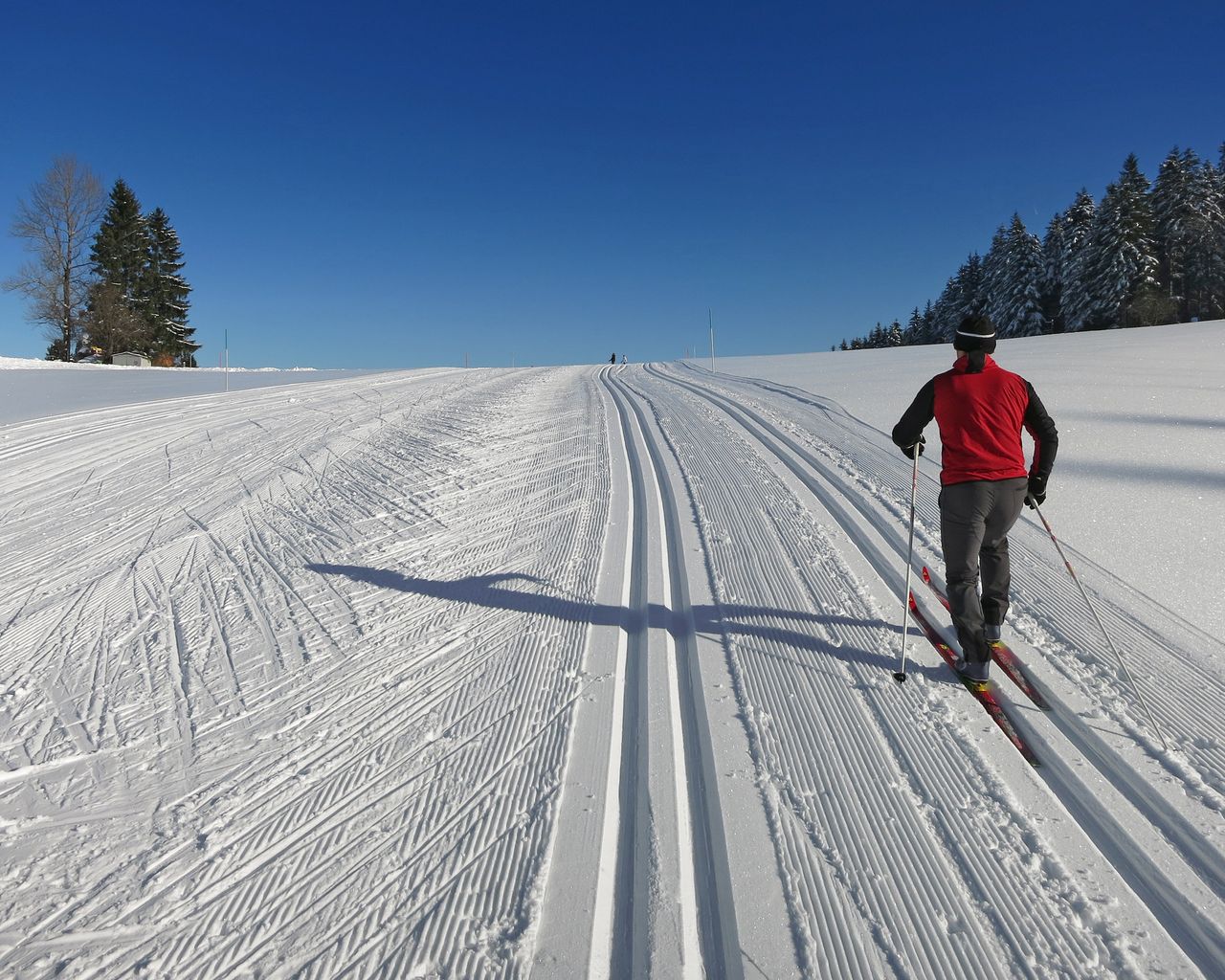

Panoramaloipe Langenegg–Bensol
Cross-Country SkiingRehetobel, Nasen · 9.0 km3.9 km - "SECTOR" Activate Room St. Gallen
 1/8
"SECTOR" Activate Room St. Gallen
5.0(1)St. Gallen14.7 kmper person
from $50
- "The Magic Portal" Escape Game St. Gallen
 1/6
"The Magic Portal" Escape Game St. Gallen
4.9(9)St. Gallen15 kmper person
from $64
- "Operation Mindfall" Escape Game St. Gallen
 1/6
"Operation Mindfall" Escape Game St. Gallen
4.8(4)St. Gallen15 kmper person
from $64