Mountain bike routes
Äbnimatt Bike
- Moderate
- VS
- Distance
- 19 km
- Elevation Gain
- 860 m
- Elevation Loss
- 1,200 m
- Highest point
- 2,142 m

Still have questions? Ask Alpi.
Alpi helps you with tours, weather, and everything else that matters.
Elevation profile
Point at a spot with your mouse
About this route
Diese alpine Tour verbindet Forstwege, wurzelige Trails und historische Dörfer – von Binn nach Ernen bis ins Feriendorf Fiesch. Die Strecke eignet sich für sportliche Personen mit Bike-Erfahrung.
Map
Getting there and tickets
- Public transit at startBinn, DorfBus · 1 min walk to the trail
- Public transit at endFiesch FeriendorfTrain · 1 min walk to the trail
Popular activities
- Walserweg Gottardo
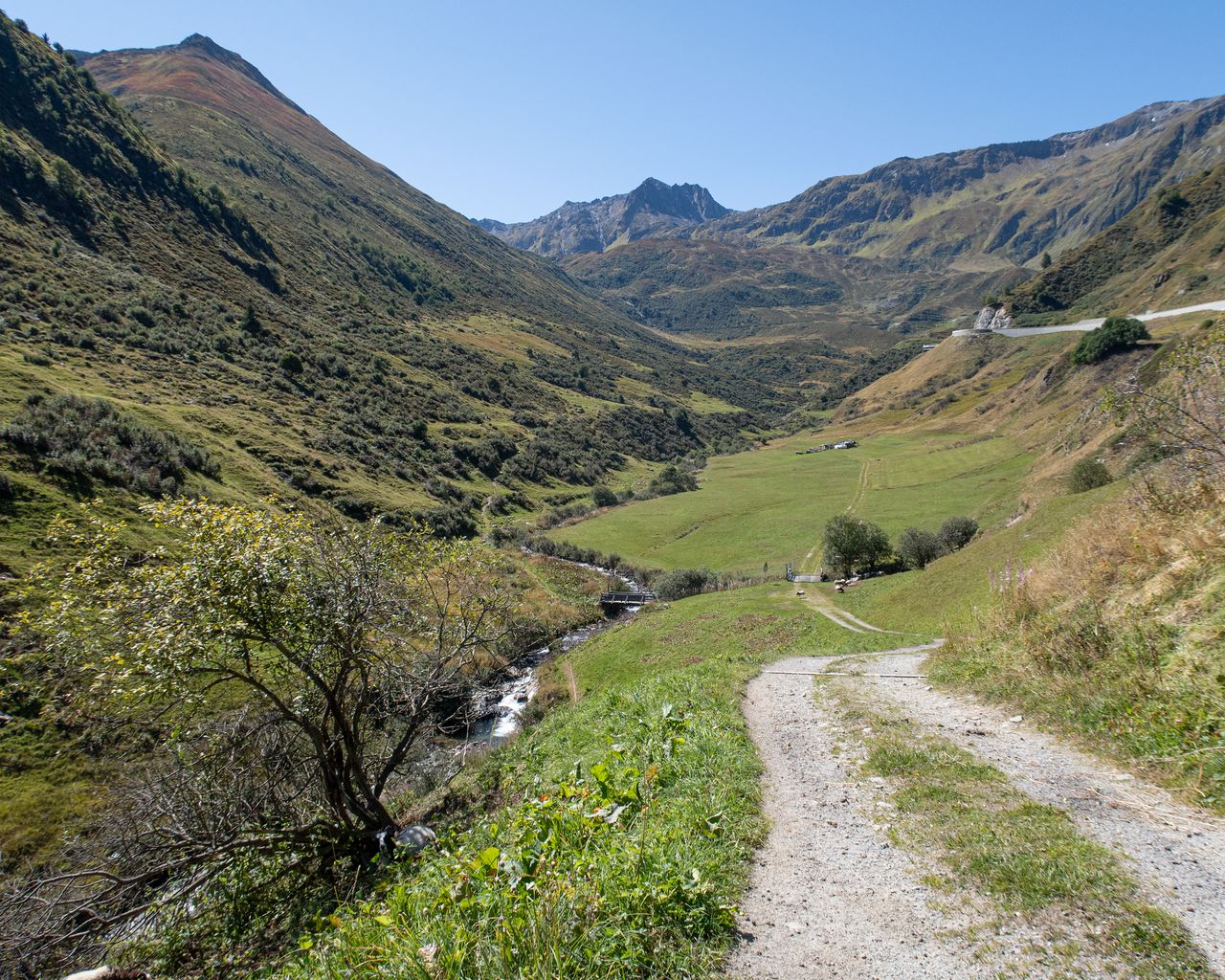
Walserweg Gottardo
Hiking trailBinn → Obersaxen, St. Martin · 215 km · 101 h 45 min0 km - Winterwanderweg Fiesch–Fieschertal
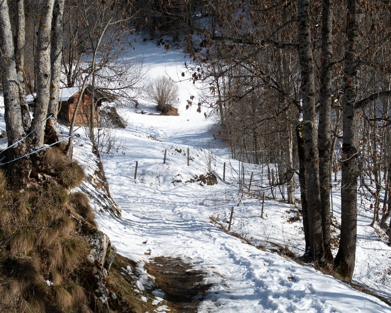
Winterwanderweg Fiesch–Fieschertal
Winter hiking routesFiesch Fieschertal · 6.0 km · 1 h 46 min9.6 km - Schneeschuhtrail Fiesch–Fiescheralp
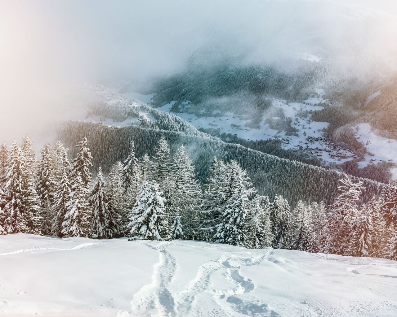
Schneeschuhtrail Fiesch–Fiescheralp
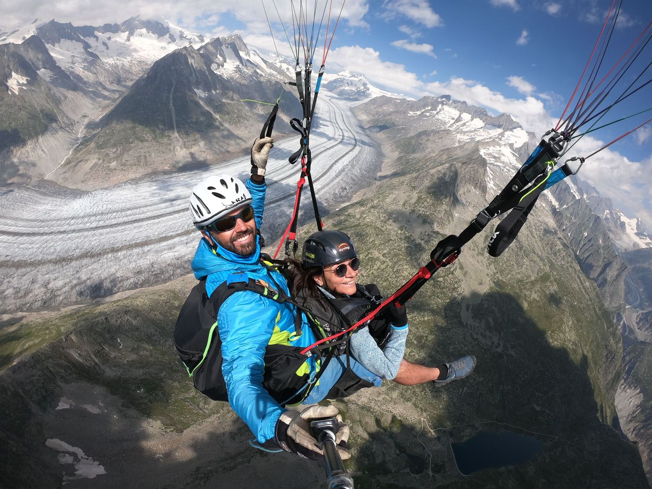
Snowshoe routesFiesch → Fiescheralp · 5.0 km · 5 h 35 min10 km - Aletscharena paragliding tandem from Fiesch
 1/5
Aletscharena paragliding tandem from Fiesch
4.8(5)Fiesch10.3 kmper person
from $191
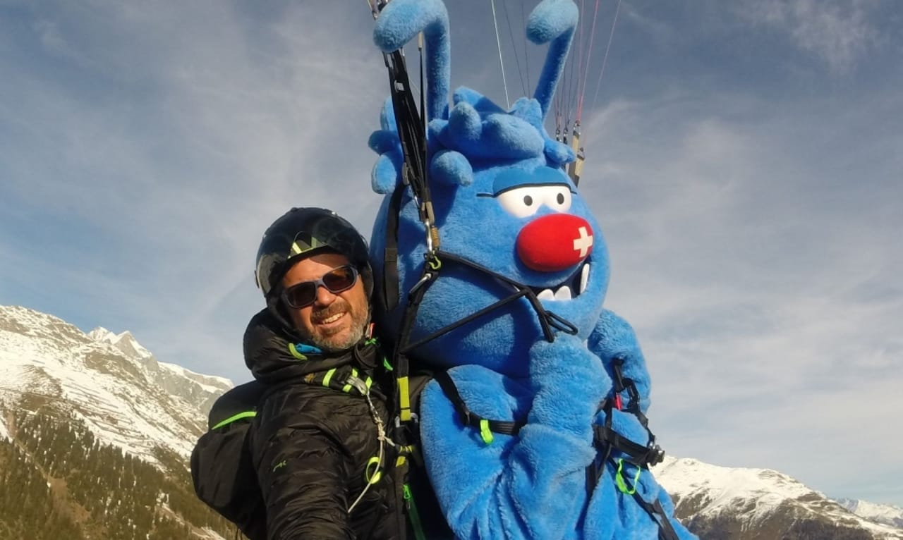
- Aletscharena paragliding for children from Fiesch
 1/5
Aletscharena paragliding for children from Fiesch
4.8(5)Fiesch10.3 kmper person
from $152
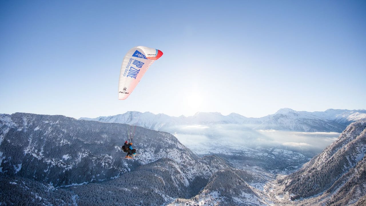
- Rosswald paragliding tandem in Valais
 1/10
Rosswald paragliding tandem in Valais
5.0(6)Brig23.1 kmper person
from $191