


Snowshoe routes
Lombachalp Trail
- Moderate
- BE
- Distance
- 5 km
- Duration
- 2 h 29 min
- Ascent
- 240 m
- Descent
- 240 m
- Highest point
- 1,736 m

Got questions? Ask Alpi.
Alpi helps with tours, weather and everything you need to know.
Elevation profile
Point at a spot with your mouse
About this route
Durch eines der grössten Moorgebiete der Schweiz und eine unberührte Winterlandschaft, umgeben von Hohgant und Augstmatthorn. In der Ferne die Spitzen des Niesen und des bekannten Berner Oberländer Dreigestirns.
Map
Getting there and tickets
- Public transport at startHabkern,Lombachalp-RoteschwandBus · 1 min walk to the trail
- Public transport at destinationHabkern,Lombachalp-RoteschwandBus · 1 min walk to the trail
Sat, 21 Nov1 adult
Your hiking plan
from Zürich HB
The day
Pricing the ticket …
Zürich HB
Habkern,Lombachalp-Roteschwand
End of the route
Zürich HB
Nearby in winter
- Sunset Sledging with Cheese Fondue from Interlaken
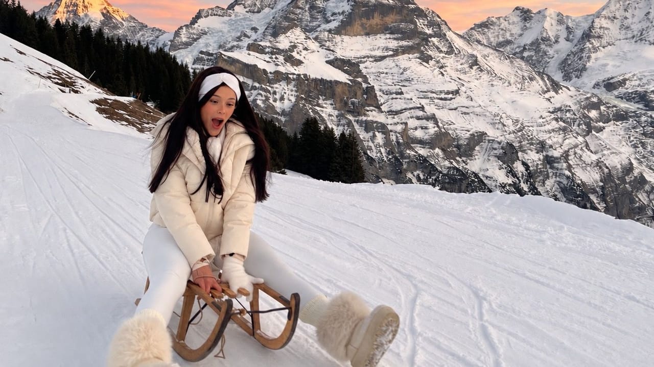 1/14
Sunset Sledging with Cheese Fondue from Interlaken
Interlaken12.5 kmper person
from £132
- Beatenberg paragliding in tandem from Interlaken
 1/8
Beatenberg paragliding in tandem from Interlaken
4.8(121)Interlaken12.6 kmper person
from £180
- Beatenberg paragliding tandem from Interlaken
 1/8
Beatenberg paragliding tandem from Interlaken
4.9(126)Interlaken12.8 kmper person
from £180
- Beatenberg paragliding tandem in winter from Interlaken
 1/5
Beatenberg paragliding tandem in winter from Interlaken
4.5(4)Interlaken13.2 kmper person
from £180
- Ausstellung "Kunst inspiriert von der Schöpfung"

Ausstellung "Kunst inspiriert von der Schöpfung"
08:00ExhibitionZentrum Artos Interlaken13.6 km - Golden Pass Express Ticket from Interlaken Ost or Montreux (without reservation)
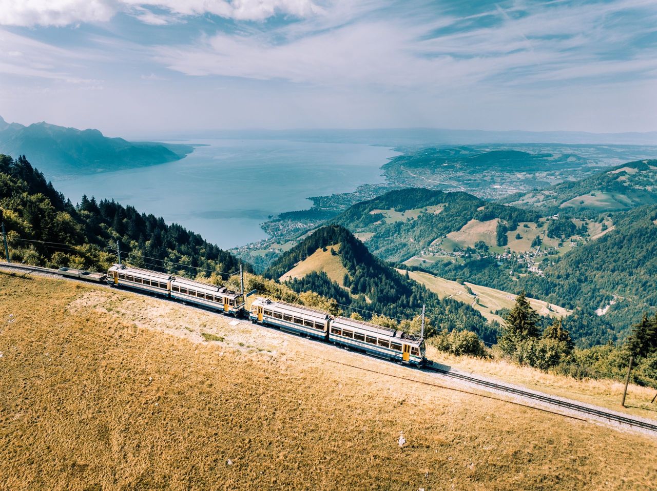 1/6
Golden Pass Express Ticket from Interlaken Ost or Montreux (without reservation)
4.3(15)Interlaken13.8 kmper person
from £53
- Lucerne - Interlaken Express Ticket (without reservation)
 1/5
Lucerne - Interlaken Express Ticket (without reservation)
4.2(20)Lucerne13.9 kmper person
from £33
- Jetboat Interlaken Lake Brienz from Bönigen
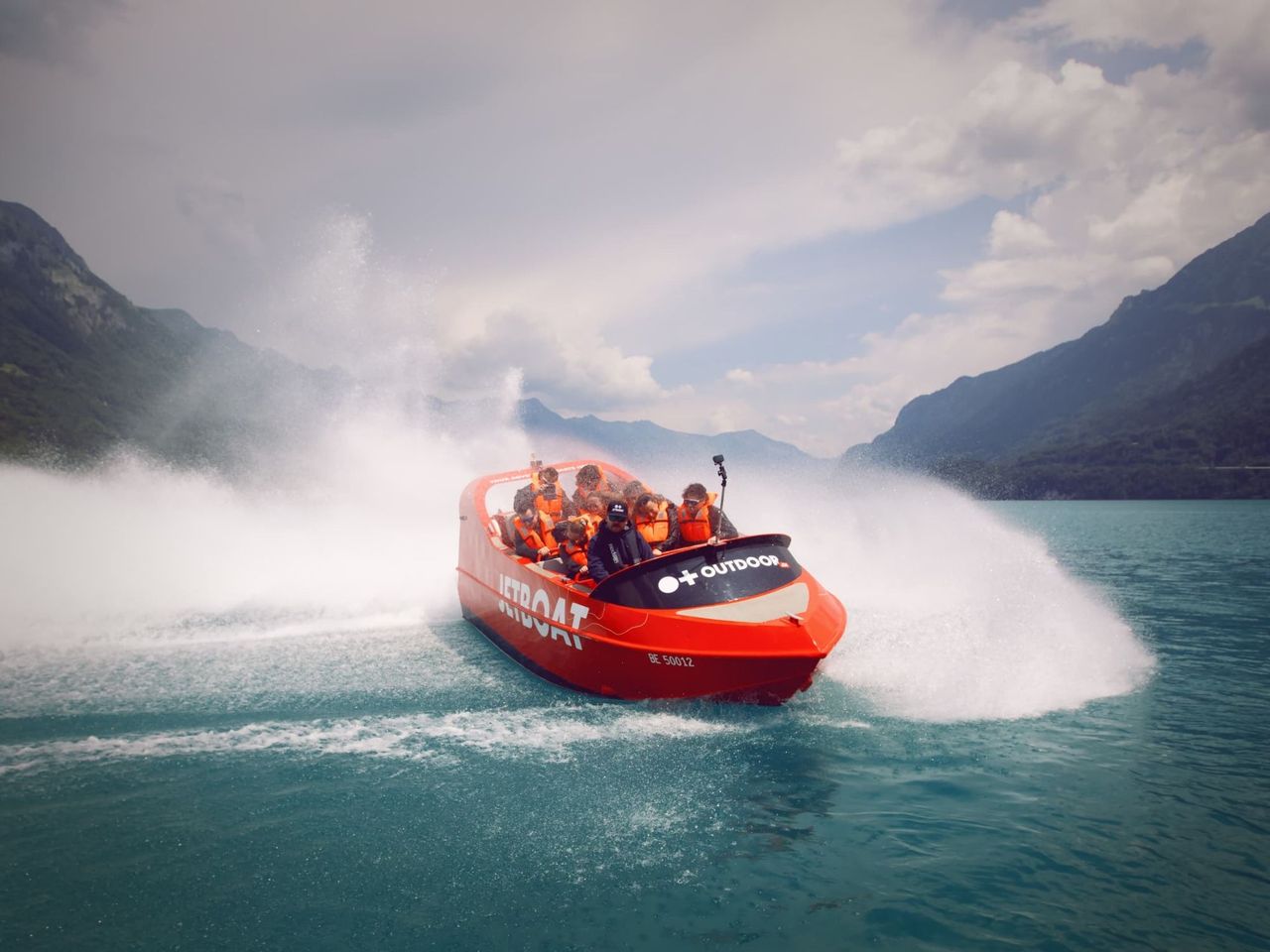 1/8
Jetboat Interlaken Lake Brienz from Bönigen
4.9(75)Interlaken16.2 kmper person
from £75


