


Walking trail
Obwaldner Höhenweg
- Mountain hiking trail
- Hard
- OW
- Distance
- 100 km
- Duration
- 46 h 30 min
- Ascent
- 6,300 m
- Descent
- 6,500 m
- Highest point
- 2,229 m
Elevation profile
Point at a spot with your mouse
About this route
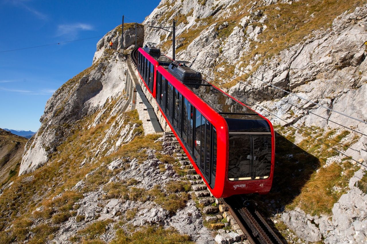
In sechs Tagesetappen führt diese Route vom Pilatus über den Mittelpunkt der Schweiz und Melchsee-Frutt zum Stanserhorn, stets in luftiger Höhe und mit fantastischen Ausblicken auf unzählige Alpengipfel und ein Dutzend Seen.
Map
Getting there and tickets
- Public transport at startPilatus KulmCable car · 2 min walk to the trail
- Public transport at destinationStanserhornCable car · 1 min walk to the trail
Bookable along the way






Sat, 24 Oct1 adult
Your hiking plan
from Zürich HB
The day
Pricing the ticket …
Zürich HB
Stanserhorn
End of the route
Zürich HB